Most road trip guides make Indiana sound like a quiet pass-through state—flat farmland, smooth interstates, and predictable driving. But that assumption is exactly what makes it risky.
Indiana sits at the center of America’s freight network, where long-haul trucking corridors, aging highway designs, sudden weather shifts, and commuter congestion collide in ways most travelers never expect. The result is not a single “danger road,” but a pattern of high-risk corridors that locals quietly avoid when conditions turn bad.
Recent multi-year crash data shows Indiana recorded over 4,000 fatal collisions between 2020 and 2024, with a small group of highways consistently responsible for a disproportionate share of those tragedies . These are not hidden backroads in the traditional sense—they are major routes that feel routine until they suddenly are not.
The Interstate That Looks Ordinary Until It Doesn’t
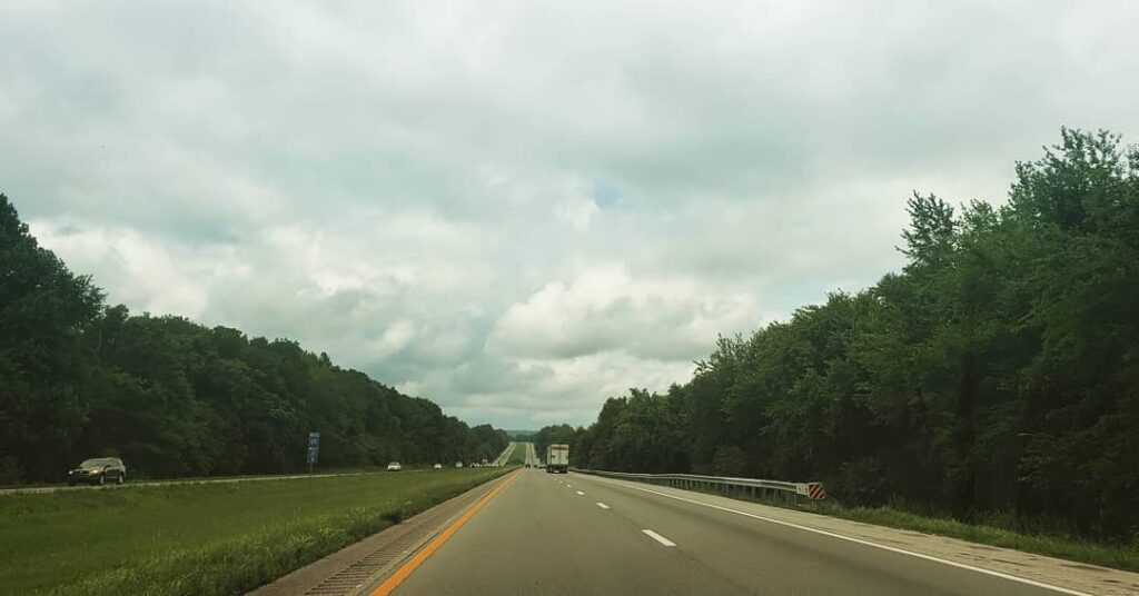
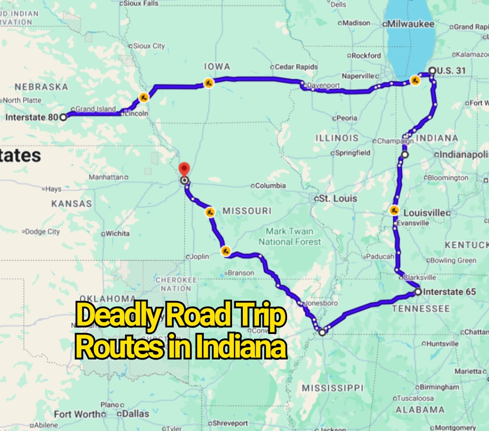
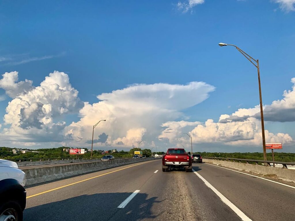
One of the most discussed corridors is Interstate 65, which runs from Kentucky through Indianapolis and up toward Lake Michigan. On paper, it is just another major interstate. In reality, it is one of the most crash-heavy highways in the entire state.
Traffic density is the first problem. This corridor carries massive commuter flow mixed with heavy freight movement, creating constant speed variation. In urban stretches like Indianapolis, the highway compresses into complex interchanges where merging decisions happen in seconds.
Crash studies repeatedly identify this route as the highest in fatal incidents in Indiana over recent five-year tracking periods . Locals often describe it less as a road and more as a pressure system—fine until congestion, construction, or weather forces sudden braking waves that ripple for miles.
What makes it feel “hidden” in danger is familiarity. Drivers assume predictability because it is an interstate. That assumption is what makes it unforgiving when conditions shift.
The Northern Corridor Where Weather Changes Everything
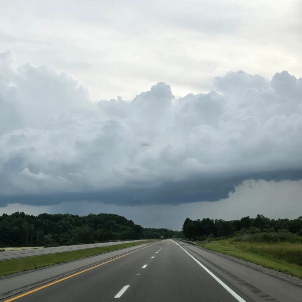
Travel north toward the Indiana Toll Road and the I-80/90 corridor near Lake Michigan, and the risk profile changes completely.
Here, geography becomes the threat. Cold air coming off the lake creates sudden lake-effect snow bands that can turn clear pavement into near-whiteout conditions within minutes. Even experienced drivers underestimate how fast visibility collapses in this region.
This stretch also carries one of the highest concentrations of semi-truck traffic in the Midwest, because it connects Chicago to the eastern United States. When winter storms hit, traffic doesn’t just slow—it stacks. Multi-vehicle pileups involving dozens of vehicles have occurred during sudden snow events on this corridor, especially when visibility drops faster than drivers can react.
The danger here is not constant. It is conditional. That is what makes it deceptive. On a clear day, it feels routine. On a winter afternoon, it can shift into one of the most hazardous driving environments in the country.
The Highway That Feels Safer Than It Actually Is
U.S. 31 is a different kind of risk entirely. Unlike the interstates, it gives the illusion of control. It passes through suburban corridors, small towns, and long rural stretches that feel calm compared to high-speed freeway traffic.
But that calm is misleading.
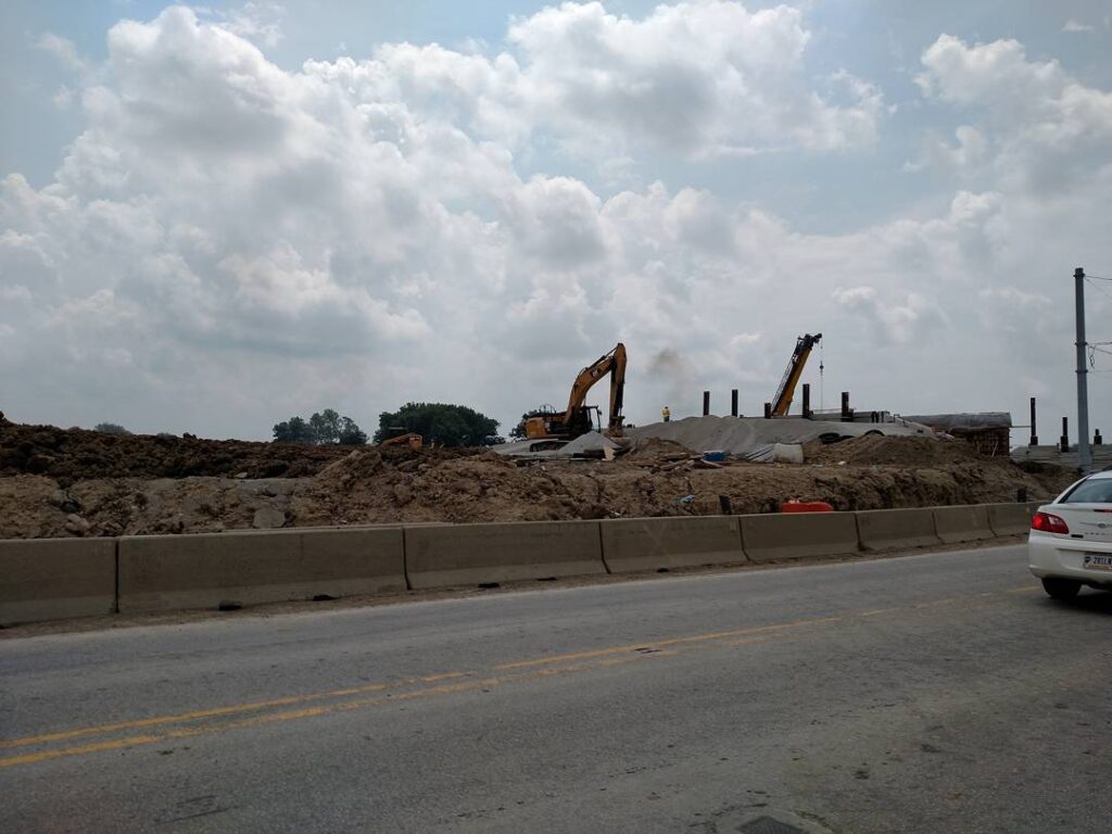
This route has a mix of older at-grade intersections, speed transitions, and upgraded freeway segments that create uneven driving behavior. Drivers accelerate on open stretches, then suddenly encounter congestion zones or intersection crossings that demand immediate reaction.
Recent infrastructure upgrades are still ongoing in several segments, meaning the road condition changes from one county to the next. That inconsistency is a major factor in crash patterns, especially where traffic speeds remain high but road design has not fully caught up.
What makes this corridor “hidden” in danger terms is expectation. It does not look like a high-risk highway. It feels like a connector road. That perception often leads to underestimating speed, spacing, and reaction time.
The Freight Spine of the Midwest That Never Rests
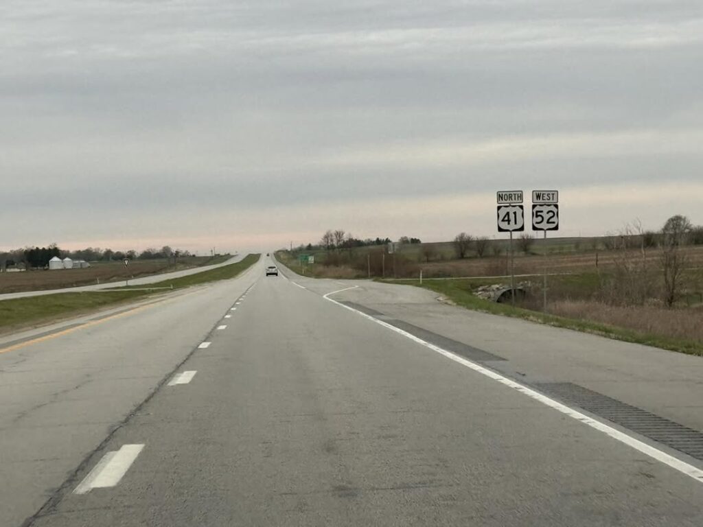
U.S. 41 and I-70 add another layer to Indiana’s road risk profile. These corridors are part of the national freight spine, meaning they are constantly active with long-haul trucks moving across states.
On I-70, central Indiana becomes a convergence zone where regional commuters and interstate freight traffic share the same space. Near Indianapolis, multiple highway systems intersect, creating some of the most complex driving environments in the state.
U.S. 41, running along the western edge of Indiana, has a different challenge. It mixes industrial traffic with rural crossings, often with long stretches where drivers maintain speed for extended periods before encountering sudden stops, intersections, or town traffic.
Both routes reflect the same pattern seen across Indiana: high-speed travel combined with mixed traffic types and frequent transitions between rural and urban driving conditions.
Why These Roads Feel “Hidden” Even When They Are Not
The real contradiction in Indiana’s road safety story is that nothing is actually hidden.
These highways are well known. They are mapped, labeled, and heavily traveled. The danger comes from perception.
Drivers expect interstate predictability but encounter urban congestion. They expect rural calm but meet freight traffic. They expect winter roads to behave consistently but face rapid weather shifts near the lake.
Indiana’s crash data consistently shows that road type alone does not determine risk—driver behavior, speed consistency, weather response, and traffic mix matter more than geography alone .
That is why locals often warn about these corridors not because they are secret, but because they are deceptively normal.
Final Thoughts Before You Plan a Road Trip Through Indiana
Indiana is not a state of isolated dangerous roads. It is a state where everyday highways become high-risk environments under the right conditions.
The key lesson is not avoidance—it is awareness. The same route can feel smooth on one trip and unpredictable on another depending on weather, traffic density, and time of day.
For road trippers, the real shift in mindset is understanding that familiarity does not equal safety, especially in a state built as one of America’s busiest transportation crossroads.
You may also like :