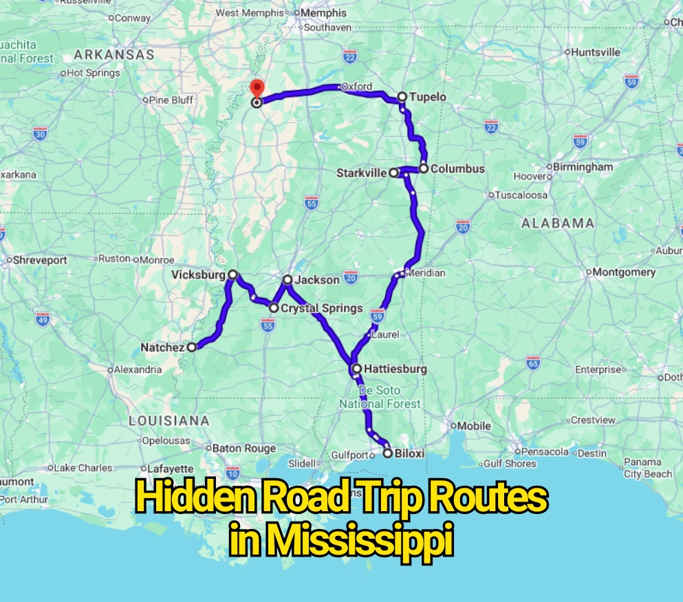
Mississippi has miles of quiet blacktop where traffic thins, tree lines close in, and the next gas station may feel farther away than expected. These roads often look harmless on a map. That is partly why some drivers underestimate them. High speed limits, long rural stretches, sudden intersections, freight traffic, wildlife, and poor weather can turn an ordinary drive into a far riskier trip.
Still, calling any road a “death route” without evidence creates the wrong picture. Mississippi does not publish an official ranking of secret roads that locals consider deadly. The real story sits inside state crash studies, freight reports, weather records, and National Park Service warnings. Mississippi Department of Transportation safety documents have shown that lane-departure crashes account for a large share of fatal and serious injuries across the state.
The routes below are real roads connected with high-crash sections, heavy truck movement, sharp changes in road design, wildlife activity, flooding, or reduced visibility. Some are famous highways, while others feel forgotten once they leave major towns. None should be feared every day, but each deserves more attention than many road-trippers give it.
U.S. Highway 49 From Jackson to the Mississippi Gulf Coast
U.S. Highway 49 can appear straightforward. It runs south from Jackson through towns such as Florence, Magee, Collins, and Hattiesburg before reaching the Gulf Coast. Much of the route is divided, wide, and built for steady travel. That design can give drivers a false sense of comfort, especially after hours of driving at highway speed.
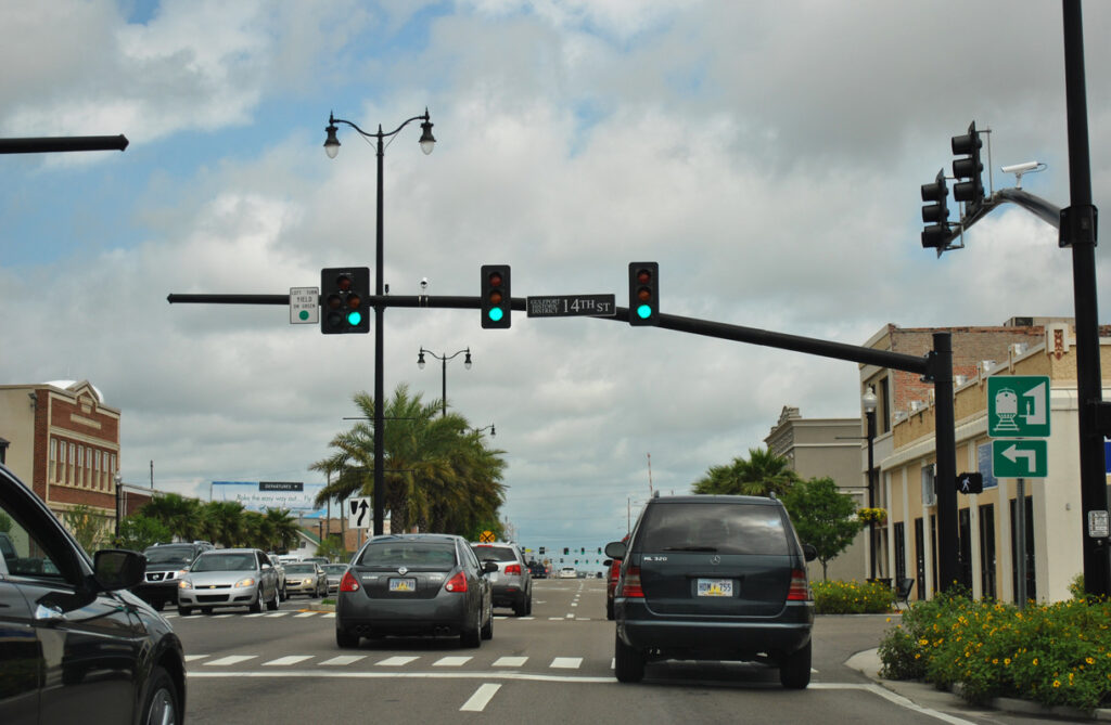
A Mississippi transportation corridor study previously identified roughly 40 miles of high-crash segments along U.S. 49. The study also reported a crash rate considerably higher than the benchmark used for similar major corridors. Later freight planning documents continued to flag portions of the highway for truck-related crash concerns.
The trouble rarely comes from one dramatic curve. It comes from repetition. Fast traffic meets business entrances, local intersections, turning vehicles, and commercial trucks. Hattiesburg-area congestion adds another change in pace, while southern sections can become difficult during heavy rain. Drivers who treat U.S. 49 like an uninterrupted expressway may miss how quickly conditions shift.
U.S. Highway 61 Through the Mississippi Delta
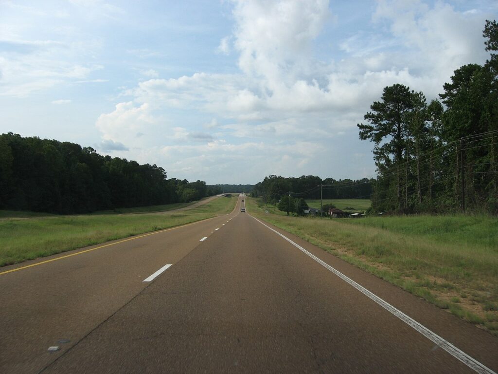
U.S. Highway 61 carries a famous name tied to blues music, Delta towns, and Mississippi history. Yet its cultural reputation can distract from the practical risks found along the road. The highway passes through rural landscapes, small communities, agricultural areas, and commercial zones where traffic patterns change with little warning.
A state corridor analysis identified approximately 62 miles of high-crash segments along the Mississippi portion of U.S. 61. That does not mean every mile is unsafe. It means several sections performed poorly enough to raise concerns in a formal transportation review.
Long, flat roads create their own hazard. Drivers may increase speed because visibility seems open, only to encounter a slow farm vehicle, turning truck, railroad crossing, or town intersection. Fog can settle across Delta farmland, and darkness removes many visual reference points. The road may look easier than a mountain highway, but that flatness can encourage the exact behavior that makes a crash more severe.
U.S. Highway 82 From Greenville to Columbus
U.S. Highway 82 crosses much of northern Mississippi, linking Greenville, Greenwood, Winona, Starkville, and Columbus. It serves tourists, local commuters, college traffic, farm equipment, and freight haulers. That mixture makes the road less predictable than its broad east-west path first suggests.
Mississippi transportation research previously marked about 35 miles of U.S. 82 as high-crash sections. State freight documents have also identified the corridor as one carrying notable truck-crash concerns. Heavy commercial vehicles matter because they take longer to slow, need more space to turn, and can create serious consequences when speeds remain high.
Conditions change sharply along the route. A driver may leave an open Delta section, pass through a busy town, then return to darkness and sparse roadside development. Traffic near Starkville can rise during university events, while agricultural machinery can slow the road farther west. The dangerous part is often the transition, especially when drivers fail to adjust their speed after a long stretch of open highway.
U.S. Highway 98 Through South Mississippi
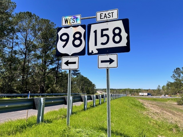
U.S. Highway 98 is one of southern Mississippi’s major travel corridors. It connects McComb, Columbia, Hattiesburg, and areas closer to the Alabama line. Many road-trippers use it as a practical route rather than a scenic one, which may explain why its hazards receive less attention outside the region.
A Mississippi corridor study identified around 26 miles of high-crash sections on U.S. 98. State freight planning has also pointed to elevated truck-crash patterns on parts of the road. Commercial traffic is especially noticeable around Hattiesburg, where local vehicles, through traffic, and highway interchanges meet.
The route can move from controlled-access highway to busy commercial roadway in a short distance. Drivers who remain at highway speed mentally, even after entering a developed area, face more conflict points. Rain can also reduce visibility across southern Mississippi, and water may collect quickly during strong storms. U.S. 98 is rarely frightening to look at, yet its ordinary appearance may be the reason some motorists relax too soon.
U.S. Highway 278 and Mississippi Highway 6
U.S. Highway 278 shares parts of its route with Mississippi Highway 6 across northern Mississippi. It passes near Clarksdale, Batesville, Oxford, Pontotoc, and Tupelo, linking Delta farmland with university traffic and regional freight routes. The combination creates a road that can change character several times during a single trip.
State freight reports have identified sections of U.S. 278 as having relatively high truck-crash rates. Freight activity is only one part of the issue. Rural intersections, vehicles entering from side roads, seasonal farm machinery, and changing traffic near larger towns can all interrupt the steady pace drivers expect.
The Oxford area becomes busier during football weekends and major university events. Farther west, the road may feel open and empty, encouraging higher speeds. After dark, the lack of roadside lighting can make stopped vehicles, animals, and turning traffic harder to notice. This is not a forbidden road locals refuse to drive. It is a working highway that punishes distraction more quickly than its calm surroundings suggest.
Mississippi Highway 25 From Jackson to Starkville
Mississippi Highway 25 connects the Jackson area with central and northeastern parts of the state before reaching Starkville. It carries commuters, university visitors, local drivers, and commercial traffic through a mix of divided roadway, rural highway, and developed community sections.
A transportation corridor review identified about 22 miles of high-crash segments along Highway 25. The same analysis found that the corridor did not meet the state’s selected safety-performance target for its road category. Those findings give the route a stronger factual basis for concern than vague stories about a mysterious backroad.
Drivers face frequent changes in lane layout, speed, and roadside activity. Some sections feel like a major highway, while others operate more like a local road with driveways and cross traffic. Heavy rain can hide pavement markings, and nighttime travel can become tiring where lighting is limited. The road’s danger is not hidden by geography. It is hidden by how normal the route looks.
Mississippi Highway 27 Between Vicksburg and Crystal Springs
Mississippi Highway 27 offers a quieter north-south alternative between the Vicksburg area, Utica, and Crystal Springs. Compared with nearby interstates, it can feel remote and lightly traveled. That quieter setting appeals to road-trippers who prefer country roads, but it also reduces the margin for error.
A state study identified around 12 miles of high-crash sections on the reviewed corridor, representing a sizeable share of the route examined. The same assessment raised concerns about pavement and bridge conditions at the time the research was completed. Road conditions may change after repairs, but the historical findings explain why the highway has received safety attention.
Limited lighting, narrow shoulders, curves, and long gaps between services can make small problems feel larger. A flat tire, sudden storm, or missed turn becomes more stressful when few businesses are nearby. Drivers should also expect local traffic entering from smaller roads. Highway 27 is not inherently more threatening because it is rural, but its isolation removes many of the safety cushions found on busier routes.
U.S. Highway 72 Near Corinth and Iuka
U.S. Highway 72 crosses the northeastern corner of Mississippi through areas near Corinth, Burnsville, and Iuka. It serves as an important link between Mississippi, Alabama, and Tennessee. The road carries local traffic alongside regional freight, creating a steady flow that can become dense near commercial areas.
A Mississippi corridor study found that U.S. 72 did not meet the selected safety target for its highway category. The report also noted congestion concerns around Corinth, where through traffic meets local businesses, intersections, and turning vehicles.
The road feels different outside town. Speeds rise, roadside lighting drops, and drivers may become less alert after passing through a crowded commercial section. Trucks traveling between states add another layer, especially near junctions and merging areas. Rather than one infamous danger point, U.S. 72 presents a sequence of smaller risks that build during a long drive.
Natchez Trace Parkway From Natchez to Tupelo
The Natchez Trace Parkway may be Mississippi’s most misleading road. It is calm, beautiful, and free from the commercial clutter found on major highways. Those qualities make it feel safer than almost any other drive in the state. Yet the same peaceful setting can lower a driver’s guard.
The National Park Service regularly warns visitors about wildlife, cyclists, changing light, and roadside hazards. Deer are especially active around dawn and dusk. Cyclists are permitted to use the roadway, and drivers may encounter them around bends or on shaded sections where visibility changes quickly.
The Trace also has long wooded stretches with few fuel stops or roadside businesses directly on the parkway. Curves are usually manageable, but fallen branches, wet leaves, fog, or animals can appear without much warning. The parkway is not a speed road, even when traffic is light. Its greatest danger comes from drivers who confuse low traffic with low risk.
U.S. Highway 90 Along the Mississippi Gulf Coast
U.S. Highway 90 follows the Mississippi Gulf Coast through Bay St. Louis, Pass Christian, Gulfport, Biloxi, Ocean Springs, and Pascagoula. On a clear day, it offers open water views, beach access, casinos, restaurants, and a relaxed coastal drive. During severe weather, the same exposed location becomes its defining weakness.
Storm surge, coastal flooding, sand, and debris can make sections of Highway 90 impassable during tropical storms and hurricanes. Past storms have covered parts of the road with water and debris, particularly in low-lying coastal areas. Even outside a major hurricane, intense rainfall can create standing water and poor visibility.
The highway also passes through busy tourist districts with pedestrians, turning vehicles, beach traffic, and frequent intersections. Drivers may be looking at the Gulf rather than the road ahead. Highway 90 should not be described as deadly under normal conditions, but it becomes one of Mississippi’s least forgiving roads when coastal weather begins to deteriorate.
Why Mississippi’s Quiet Roads Can Be More Dangerous Than They Look
The most threatening road in Mississippi is not always the one with the sharpest curve or the steepest drop. Many serious crashes happen on roads that feel simple. Long straightaways invite speed. Low traffic invites distraction. Familiar routes encourage local drivers to take chances they might avoid elsewhere.
Rural road risks also differ from city driving. Emergency response can take longer, lighting may be limited, shoulders may be narrow, and animals can enter the roadway. Mississippi’s high share of lane-departure crashes shows why staying centered, rested, and alert matters on these routes.
The contrarian truth is that none of these highways should be treated as a forbidden road trip. Thousands of people use them safely. The warning is about behavior, weather, and road design rather than superstition. Slowing down before towns, leaving space around trucks, avoiding flooded pavement, watching for deer, and checking road conditions can change the outcome of an otherwise ordinary drive.
The Real Warning Locals Would Give
Locals are less likely to describe these routes as cursed roads than to offer practical advice. They know which highways collect water, where deer appear after sunset, where freight traffic becomes heavy, and where a quiet stretch suddenly meets a busy intersection.
That local knowledge matters because road danger is often seasonal and time-dependent. Highway 90 during calm weather is not Highway 90 during a tropical system. The Natchez Trace at midday is not the same road at dusk. U.S. 82 during light traffic may feel completely different during farm activity or a major event near Starkville.
Mississippi’s hidden road-trip danger is therefore less dramatic than the headline suggests, but more useful to understand. These roads are not waiting to trap visitors. They simply demand respect from drivers who might otherwise mistake empty pavement for an easy ride.