Nevada may be famous for deserts, neon lights, and wide-open highways, but waterfalls add a surprising side to the state. From mountain cascades to seasonal desert flows, these stops reveal scenery many travelers never expect to find here.
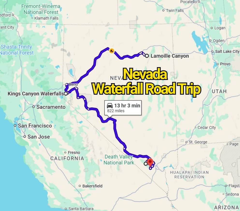
The Nevada Waterfall Road Trip Map That’ll Change the Way You See the State links together refreshing natural sights, scenic drives, and rewarding outdoor stops. Some falls sit near easy trails, while others require a longer walk through rugged terrain.
Pack comfortable shoes, plenty of water, and a camera for this memorable route. Each stop offers a fresh reason to slow down and admire Nevada beyond its casinos and dusty landscapes.
1. Lamoille Canyon Falls
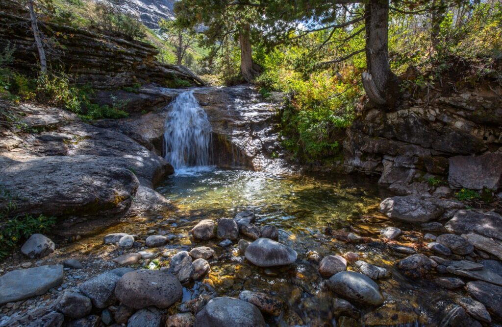
Begin the road trip in Lamoille Canyon, where several waterfalls flow through Lamoille and Thomas Canyons. Located about 30 miles from Elko, this mountain area offers a striking contrast to Nevada’s dry desert scenery.
The hike through Thomas Canyon covers roughly 2.5 miles and works well for travelers wanting a relaxed outdoor stop. Thomas Canyon Campground also provides a convenient overnight base before or after your walk.
Next, drive west to Reno for the Hunter Creek Waterfall Trail, also known as the Michael Thompson Trailhead. This moderate out-and-back hike runs about six miles and follows a rocky route beside the creek. Rain can make certain stretches slick, so sturdy footwear is important. The trail begins at the end of Woodchuck Circle and appears in Google Maps under Hunter Creek Waterfall Trail.
2. Kings Canyon Waterfall in Carson City
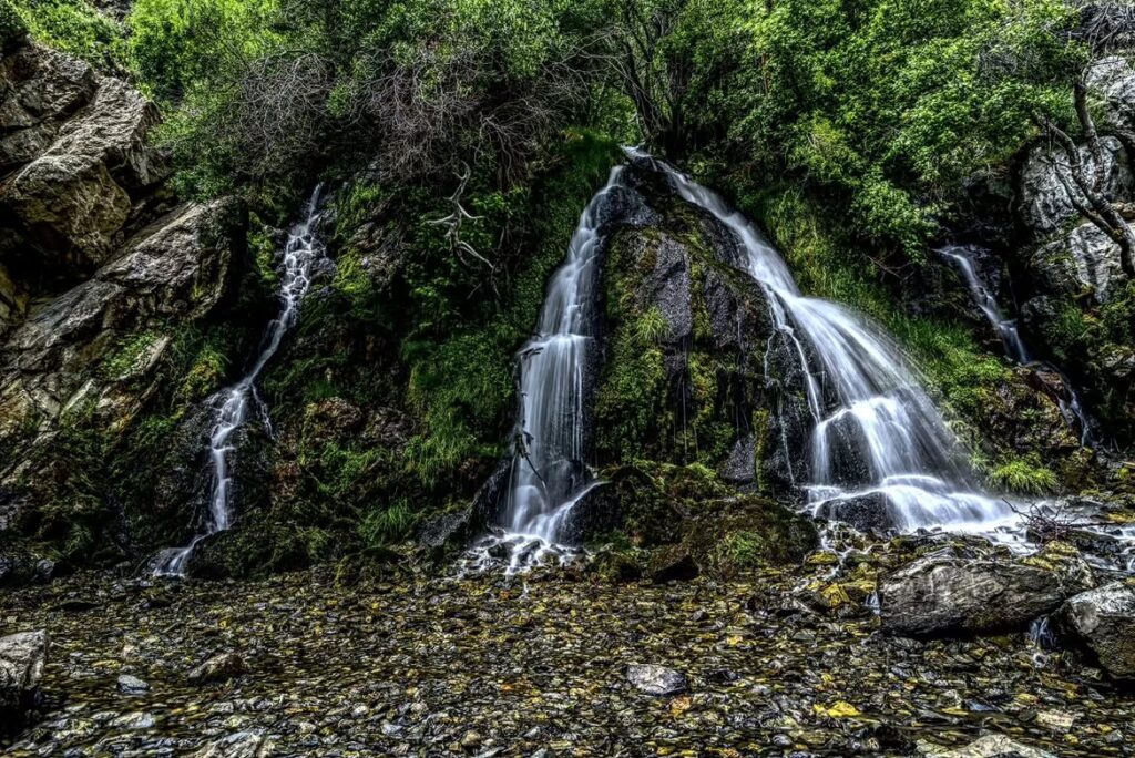
The next stop brings you to Kings Canyon Waterfall, a refreshing natural sight just outside Carson City. Its easy access makes it a pleasant break for families, casual hikers, and road-trippers who want a rewarding view without a demanding trek.
The trailhead sits at 4450 Kings Canyon Road. The route is short, manageable, and suitable for most ages.
Water continues flowing here throughout the year, although the amount may change by season. With its straightforward path and year-round appeal, Kings Canyon ranks among Nevada’s most enjoyable waterfall hikes.
3. Big Falls at Mount Charleston
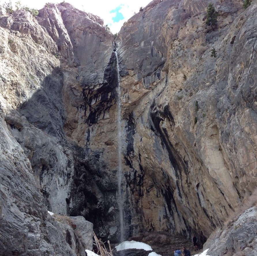
The road trip now shifts south to the Las Vegas area, where Big Falls awaits within the Mount Charleston trail system. Cooler mountain air and rugged canyon scenery make this stop feel far removed from the city below.
Reaching the falls takes effort. The route crosses rocky ground and requires careful movement over large boulders, making it better suited to experienced hikers. Still, the waterfall at the end provides a satisfying reward after the demanding climb.
To reach the trail, drive into Kyle Canyon past the Spring Mountains Visitor Center. Park at the Mary Jane Falls Trailhead, follow the main path to the first group of switchbacks, and take the side route branching away from the trail. Wear supportive hiking shoes and allow extra time for the rough terrain.
4. Mary Jane Falls at Mount Charleston
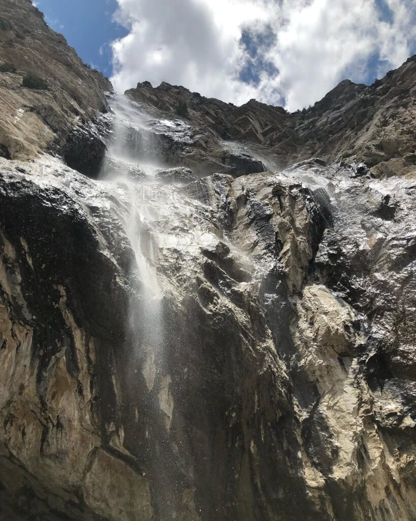
Mary Jane Falls is another popular cascade in the Mount Charleston area. After visiting Big Falls, return to the main Mary Jane Falls Trail and continue along the switchbacks leading higher into the mountains.
The full out-and-back route covers about 2.5 miles. Hikers in good physical condition should find it manageable, though the steady climb may still feel tiring in places.
Along with the waterfall, the trail leads to a small cave and broad views across the surrounding peaks. Water flow is usually strongest during spring, yet the rocky cliffs and mountain scenery still make the hike worthwhile during drier months.
5. First Creek Waterfall in Red Rock Canyon
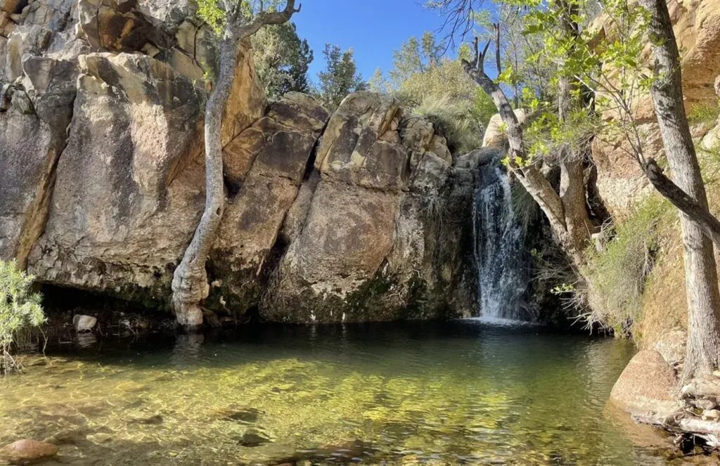
Continue south of Mount Charleston to First Creek Trail inside Red Rock Canyon National Conservation Area. The route introduces another side of southern Nevada, with sandstone cliffs, desert vegetation, and a seasonal waterfall hidden along the path.
Red Rock Canyon sits west of Las Vegas along State Route 159, also called West Charleston Boulevard. Visitors must pay a small day-use vehicle fee before entering. Since several waterfall stops lie within the conservation area, downloading the official hiking map before arrival can make the trip easier.
First Creek Trail stretches about 3.5 miles and suits hikers with different experience levels. The waterfall is modest and usually flows after rainfall or during wetter months, while the pool below often remains visible throughout the year. Its accessible route and striking desert setting make it one of Nevada’s most memorable waterfall stops.
You may also like :