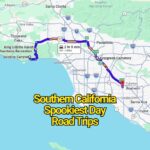
Colorado is one of the most visually stunning road trip states in the U.S., but anyone who has driven through its mountains knows that the scenery comes with serious driving demands. Between steep elevation changes, narrow cliffside roads, sudden weather shifts, wildlife crossings, and long remote stretches, some routes require far more attention than typical highway driving.
This is not a list of “hidden deadly roads.” These are real Colorado highways and mountain passes that locals respect because conditions can change quickly and mistakes leave very little room for recovery. If you plan to drive them, the key is simple: drive slowly, avoid distractions, check weather conditions, and never underestimate mountain terrain.
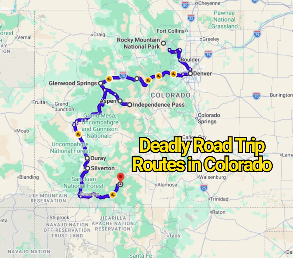
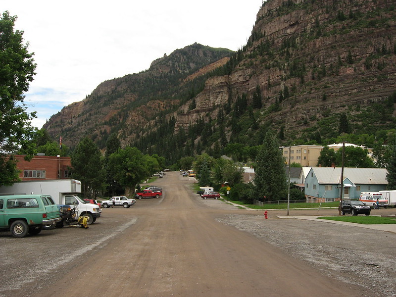
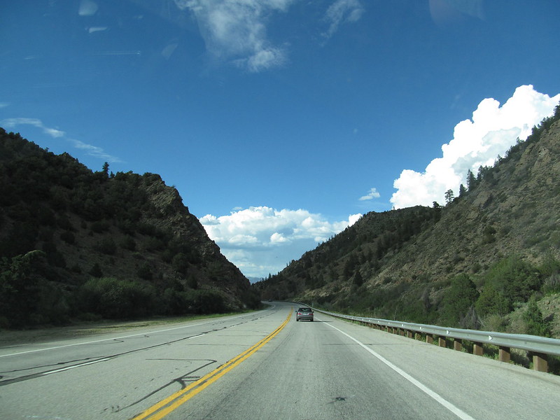
US Highway 550 (Million Dollar Highway – San Juan Mountains Corridor)
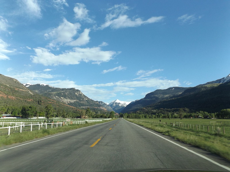
US Highway 550 between Ouray and Silverton is one of Colorado’s most famous and challenging drives. It runs through the San Juan Mountains and includes narrow lanes, steep drop-offs, and sections with limited or no guardrails.
What makes this route difficult is the combination of high elevation, sharp curves, and exposed cliffside driving. In winter and early spring, snow, ice, and sudden fog can make visibility and traction unpredictable.
Even in good weather, the road requires constant attention because there are very few shoulders and no room for driver error in certain sections.
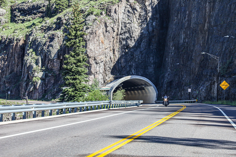
Red Mountain Pass (Part of US 550 Between Ouray and Silverton)
Red Mountain Pass is one of the most discussed sections of the Million Dollar Highway. It sits above 11,000 feet and is known for steep grades, switchbacks, and narrow cliffside lanes carved into mountain rock.
This area is especially challenging in winter when snow accumulation, icy curves, and avalanche control operations can affect travel. Even in summer, weather can shift quickly at high altitude.
The biggest risk here is not speed, but loss of control due to steep downhill sections and sudden braking demands.
Independence Pass (Between Aspen and Twin Lakes)
Independence Pass reaches over 12,000 feet in elevation and is one of the highest paved roads in Colorado. It is typically open only in late spring through early fall due to heavy snow in winter.
The road is narrow, with sharp turns and steep drop-offs in several areas. Weather can shift quickly from clear skies to snow or heavy wind, even during summer months.
Drivers also experience reduced engine performance and fatigue at high elevation, which can affect reaction time and focus during longer drives.
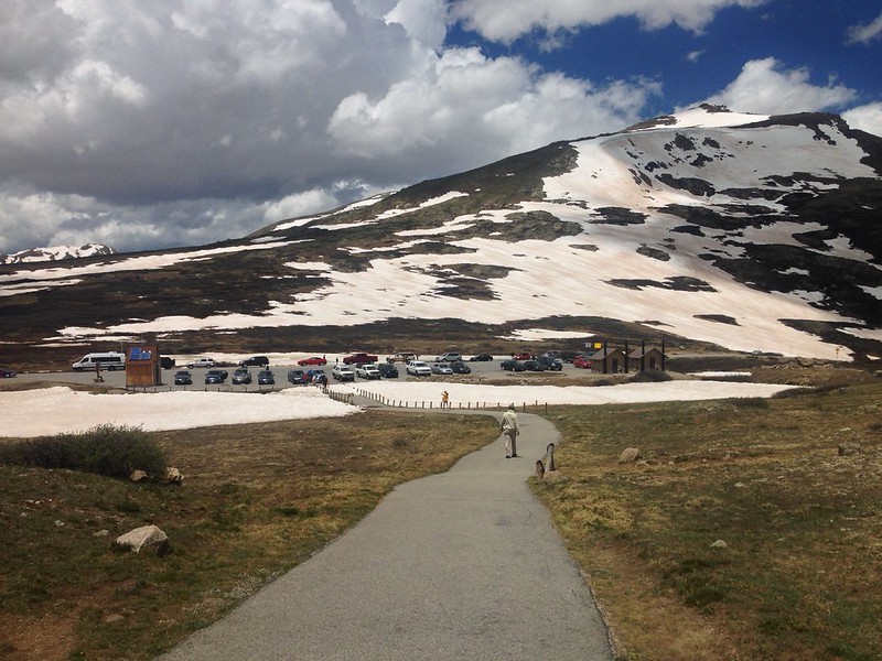
Trail Ridge Road (Rocky Mountain National Park)
Trail Ridge Road is the highest continuous paved road in North America, crossing Rocky Mountain National Park at elevations above 12,000 feet.
The route offers wide alpine views but also exposes drivers to thin air, fast-changing weather, and strong winds. Storms can form quickly at high elevation, reducing visibility within minutes.
This road is fully paved and well maintained, but the challenge comes from altitude and weather rather than road design.
Wolf Creek Pass (US Highway 160 – Southern Colorado)
Wolf Creek Pass sits at over 10,800 feet and connects the San Luis Valley with southwestern Colorado. It is known for steep downhill sections and heavy winter snowfall.
The west side of the pass includes long descents where braking control becomes critical, especially for larger vehicles. Snowstorms are common in winter, and visibility can drop quickly.
Runaway truck ramps exist along the route, highlighting the seriousness of steep-grade driving in this area.
I-70 Mountain Corridor (Vail to Glenwood Springs Section)
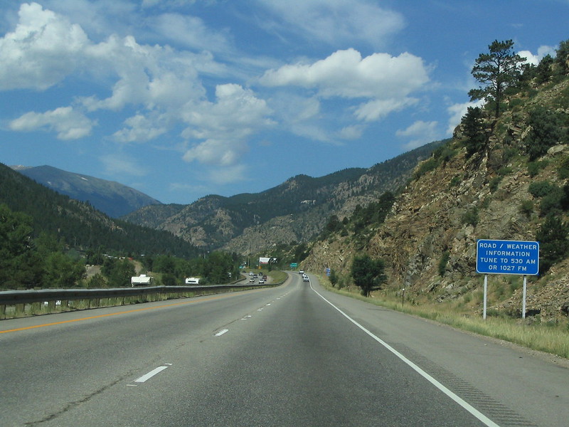
Interstate 70 is one of Colorado’s most important highways, but the stretch through the Rockies is also one of the most demanding. It passes through Glenwood Canyon, Vail Pass, and steep mountain terrain used heavily by both tourists and freight traffic.
The road can become congested during ski season weekends, and sudden weather changes often lead to slowdowns or closures. Rockfall zones and winter storms can also impact driving conditions.
Even though it is a major interstate, this section requires mountain driving awareness due to steep grades and high traffic volume.
US 285 and US 24 Rural Mountain Corridors
Outside the major tourist routes, highways like US 285 and US 24 pass through long rural stretches and mountain valleys.
These roads are less dramatic but still present challenges such as wildlife crossings, limited lighting, and long distances between services. Weather conditions can also change quickly, especially in winter when snow and ice affect traction.
Fatigue becomes a major factor here due to long uninterrupted driving segments.
Safety Tips for Driving These Colorado Routes
Plan mountain drives during daylight hours whenever possible, especially if you are unfamiliar with high-elevation driving. Visibility is much better, and wildlife risks are lower.
Check weather conditions before entering mountain passes. Conditions at high elevation can be completely different from nearby towns.
Drive at controlled speeds on curves and downhill sections. In mountain driving, braking distance and traction matter more than posted speed limits.
Avoid long continuous driving without breaks, especially on routes like I-70 and US 550, where concentration is critical.