South Carolina might look relaxed on the map, but anyone who has driven across the state knows how quickly road conditions can change. Between fast-moving interstates, rural highways with limited lighting, coastal congestion, hurricane weather impacts, and long stretches of two-lane roads, some routes feel far more demanding than expected.
This is not a “danger route list” meant to scare travelers. These are real South Carolina roads with documented crash patterns, congestion pressure, or driving challenges that locals regularly point out. If you plan to use them, the safest approach is simple: stay alert, manage speed, avoid fatigue, and plan extra time.
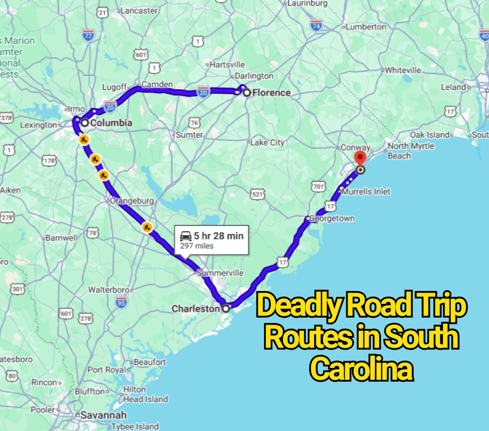
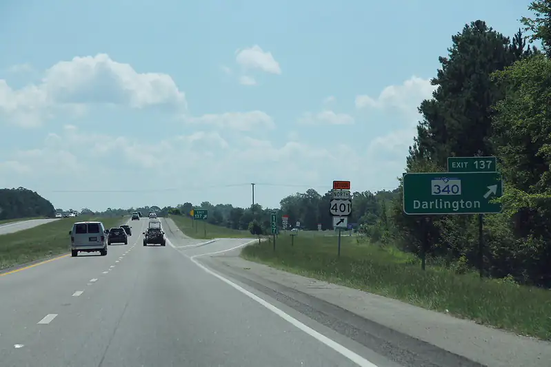
Interstate 95 (The Most Talked-About Risk Corridor in the State)
Interstate 95 runs through South Carolina from Georgia to North Carolina and is one of the most heavily traveled long-distance highways on the East Coast. It carries truck traffic, vacation travelers, and interstate drivers all on the same stretch of road.
What makes I-95 stand out is not a single dangerous feature, but a combination of long-distance fatigue, high-speed traffic, and mixed driving behavior. Drivers often stay on the road for hours, which increases the risk of delayed reactions and lane drifting.
The corridor also has long rural sections with fewer services, which can lead to speeding when traffic is light. During holiday travel periods, congestion near exits and rest stops can create sudden braking situations.
For most travelers, the key is consistency: keep speed steady, avoid sudden lane changes, and take breaks before fatigue sets in.
Highway 17 (Coastal Route Through Towns and Tourist Zones)
Highway 17 runs along much of South Carolina’s coast, connecting Charleston, Myrtle Beach, and smaller coastal communities. It is one of the most scenic routes in the state, but also one of the most unpredictable.
Traffic conditions change quickly depending on the season. In summer, vacation traffic fills the road, especially near beach access points, shopping areas, and restaurant zones. In quieter months, the road feels calmer but still requires attention due to frequent intersections.
The main challenge on Highway 17 is constant stop-and-go driving mixed with highway-speed sections. Drivers often have to adjust quickly between relaxed cruising and sudden braking.
Pedestrian activity in coastal towns also increases risk, especially near crosswalks and commercial districts.
Interstate 26 (Fast Commuter Corridor Between Coast and Inland Cities)
Interstate 26 connects the Upstate region through Columbia and down to Charleston, making it one of South Carolina’s key commuter and freight routes.
The road carries a mix of long-haul trucks, daily commuters, and coastal travelers. This combination creates frequent lane changes, merging pressure, and congestion near major urban areas.
Sections near Columbia and Charleston often experience heavy traffic flow during morning and evening commutes. Sudden slowdowns are common, especially when weather conditions reduce visibility or during peak travel days.
The most important safety factor here is spacing. Drivers who follow too closely are often the first involved in rear-end crashes during traffic waves.
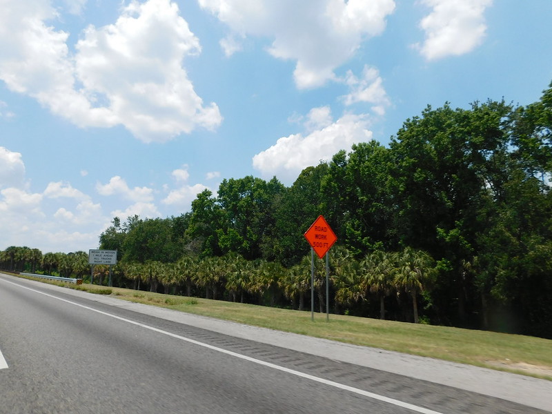
Interstate 20 (Heavy Freight Route With High-Speed Traffic)
Interstate 20 runs across central South Carolina and is widely used for freight movement between Georgia, Columbia, and the eastern parts of the state.
Truck traffic is a major feature of this route, especially during weekdays. Passenger vehicles often share lanes with large commercial trucks, which require more stopping distance and slower maneuvering.
The highway also has long, straight sections where drivers tend to increase speed. This becomes risky when traffic suddenly slows near exits, construction zones, or weather-affected areas.
During rainstorms, visibility can drop quickly, and hydroplaning becomes a concern on higher-speed sections.
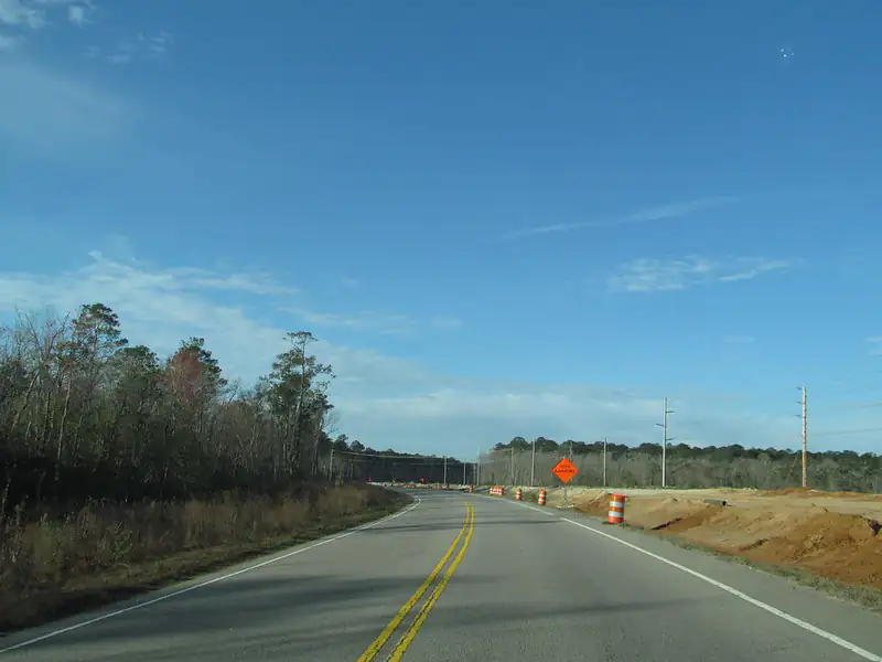
Rural Highways in the Lowcountry (Quiet but Challenging Roads)
Outside major interstates, many rural highways in the Lowcountry and inland farming regions present a different kind of driving challenge.
These roads are often narrow, with limited lighting and long distances between towns. Drivers may encounter sudden wildlife crossings, especially deer in wooded areas, which can appear without warning.
Weather plays a major role here as well. Heavy rain can cause localized flooding, while fog can reduce visibility significantly in early morning and late evening hours.
Although traffic is light, the lack of infrastructure means drivers must rely heavily on attention and caution.
Highway 501 (Myrtle Beach Corridor Pressure Zone)
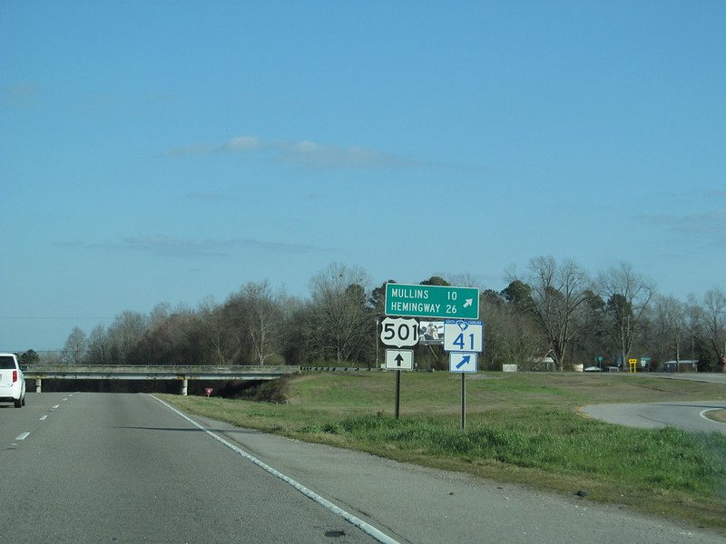
Highway 501 is a major route leading into Myrtle Beach and is heavily used by tourists during vacation season.
The biggest issue on this road is congestion. As travelers approach coastal areas, traffic density increases sharply, especially during weekends and summer holidays.
Frequent stoplights, shopping centers, and turn-offs create constant interruptions in flow. Drivers unfamiliar with the area often find themselves making last-second lane changes to reach beach destinations or hotels.
Rear-end collisions and side-swipe incidents are more common in these congested segments due to impatience and sudden braking.
Safety Tips for Driving These South Carolina Routes
Plan ahead for travel times, especially during holiday weekends and summer beach seasons. Traffic patterns can shift quickly, and delays are common near coastal regions and interstate junctions.
Avoid driving when fatigued, particularly on long stretches like I-95 and I-20. Fatigue is one of the biggest contributors to highway incidents in rural zones.
Keep a steady following distance on all major routes. Sudden braking is common on I-26, Highway 17, and Highway 501 due to congestion changes.
Stay extra alert in rural areas, especially during night driving. Wildlife crossings are unpredictable and often unavoidable.