Georgia is a major transportation hub in the southeastern United States, with heavy interstate traffic, fast-growing cities, rural highways, and coastal tourism routes all sharing the same system. While the state offers beautiful drives—from mountain roads in North Georgia to coastal highways near Savannah—some routes demand extra caution due to congestion, driver behavior, and road design.
This is not a list of “hidden deadly roads.” These are real Georgia highways that transportation studies and local driving experience consistently identify as more stressful or higher-risk than average. If you drive them, awareness and patience matter more than speed.
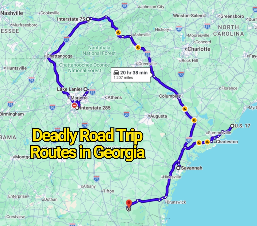
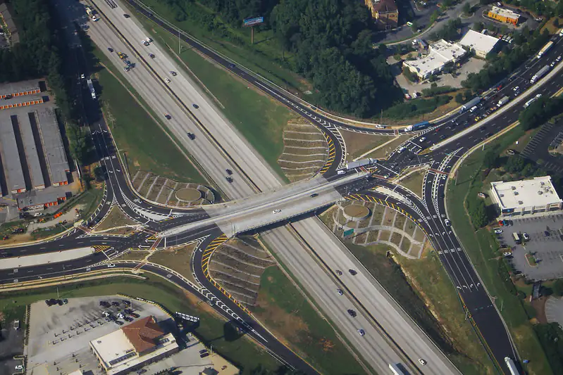
Interstate 20 (Atlanta to Augusta Corridor)
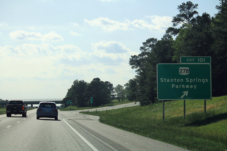
Interstate 20 is one of Georgia’s major east–west highways, connecting Atlanta with Augusta and continuing into South Carolina. It carries a mix of commuter traffic, long-distance travelers, and freight trucks.
What makes I-20 challenging is the combination of high speeds and sudden congestion, especially near Atlanta suburbs. Traffic can shift quickly from free-flowing to heavy stop-and-go conditions without warning.
Frequent lane changes, construction zones, and merging traffic near urban exits increase the likelihood of rear-end collisions. Weather also plays a role, as heavy rain in the region can reduce visibility and traction.
Interstate 285 (Atlanta Perimeter Highway)
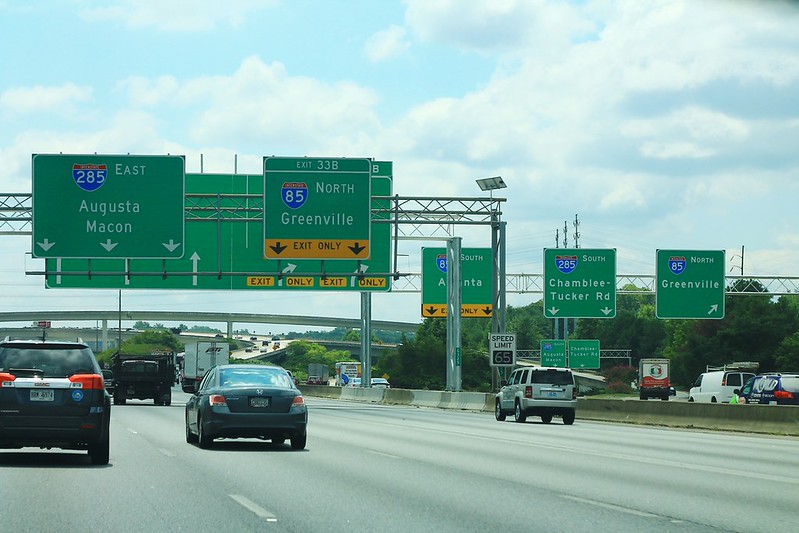
Interstate 285 circles Atlanta and is one of the most heavily traveled highways in the entire Southeast. Locals often refer to it simply as “the Perimeter,” and it is known for constant congestion.
The main challenge here is traffic density. Thousands of vehicles merge, exit, and cross paths at high frequency, especially during rush hours. Drivers often have to make fast lane decisions in tight spacing.
Crash risk increases due to aggressive driving behavior, short merging lanes, and heavy commuter flow. Even experienced drivers treat this route with extra caution.
Interstate 75 (Atlanta to Macon and Southbound Corridor)
Interstate 75 runs through the heart of Georgia and is a major north–south travel route connecting Atlanta to Florida.
The Atlanta section is especially demanding due to high traffic volume and frequent bottlenecks. South of Atlanta, the highway opens into long stretches where fatigue can become a concern for long-distance drivers.
Truck traffic is heavy along this corridor, and speed differences between vehicles can create sudden braking situations. Holiday travel periods significantly increase congestion and crash risk.
Interstate 16 (Macon to Savannah Corridor)
Interstate 16 connects central Georgia to the coastal city of Savannah and is a key route for beach traffic.
The road itself is relatively straight, but risk increases during peak travel seasons when thousands of drivers head toward the coast. This creates heavy congestion near Savannah exits and rest areas.
Sudden slowdowns are common, especially when traffic transitions from rural high-speed driving to urban congestion. Rear-end collisions are more frequent in these transition zones.
US Highway 441 (North Georgia Mountain Route)
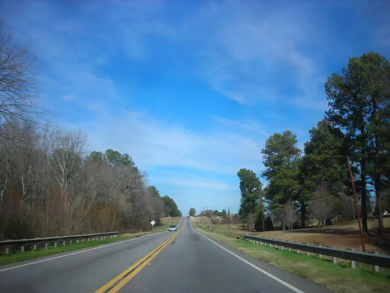
US 441 runs through scenic areas in North Georgia and continues into mountainous terrain. While it is popular for road trips, it includes winding sections, elevation changes, and rural driving conditions.
The main challenge is road complexity rather than traffic volume. Curves, limited passing zones, and occasional wildlife crossings require steady attention.
Weather in North Georgia can also shift quickly, especially in colder months when fog or ice can affect visibility and traction.
US Highway 17 (Coastal Georgia Route)
Highway 17 runs along Georgia’s coastal region, passing through Savannah and nearby marshland communities. It is a mix of scenic views, small towns, and commuter traffic.
Driving conditions vary depending on the season. Summer brings tourism traffic, while other times of year are generally calmer. However, frequent intersections, pedestrian activity near towns, and commercial areas require careful driving.
Heavy rain and coastal storms can also impact visibility and road conditions in low-lying areas.
Lake Lanier Area Roads (Near North Georgia Metro Region)
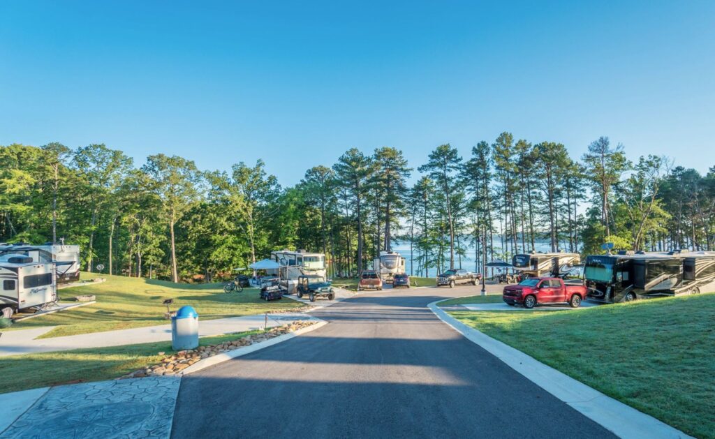
Roads around Lake Lanier north of Atlanta are heavily used for recreation, especially on weekends and holidays.
Traffic increases significantly during peak boating and tourism seasons, leading to congestion on access roads and bridges. The mix of unfamiliar drivers, parking activity, and tight road layouts near waterfront areas can create stress for motorists.
While the lake itself is often discussed in media, the driving risk is mainly related to congestion and seasonal traffic patterns, not the roads themselves.
Safety Tips for Driving in Georgia
Plan extra travel time during Atlanta metro driving, especially on I-285 and I-75 where congestion changes quickly.
Avoid aggressive lane changes and maintain safe following distance on all interstate highways.
Be especially cautious during rainstorms, which are common in Georgia and can reduce traction quickly on highways.
On rural and coastal routes, stay alert for wildlife crossings and reduced lighting conditions at night.