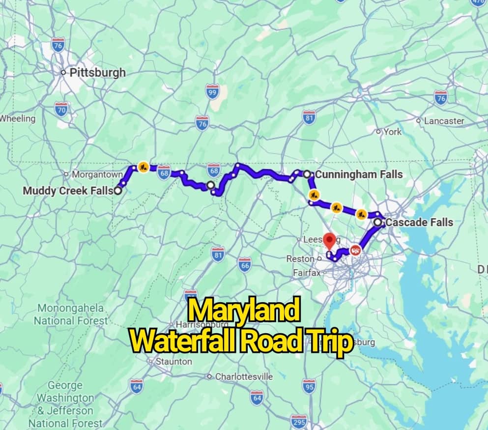
Ready for a road trip filled with rushing water, wooded trails, and some of Maryland’s most impressive natural sights? This route connects eight waterfalls spread across seven locations, giving you plenty of reasons to step out of the car and enjoy the landscape.
Most stops involve a short hike, so wear sturdy shoes and bring water, snacks, and weather-appropriate clothing. The full driving route takes a little over six hours, but that total does not include trail time, photo breaks, or time spent relaxing beside the falls.
For a more comfortable pace, turn the route into a weekend getaway or divide it across several days. You can begin from either end and follow the provided Google Maps route to each stop.
Maryland’s waterfalls are waiting—let the road trip begin.
1. Muddy Creek Falls & Swallow Falls: Two Cascades in One State Park
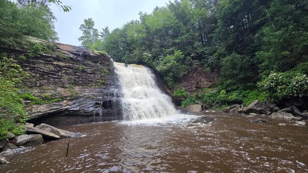
Swallow Falls State Park opens this Maryland waterfall journey with two striking stops. Muddy Creek Falls and Swallow Falls sit about a mile apart, making it possible to see both during one outing.
The connecting trail can feel demanding in places, with fallen logs, uneven ground, and large boulders along the way. Wear shoes with solid traction and allow extra time rather than rushing between the falls.
Summer visitors may want to pack a swimsuit. A natural swimming area near Swallow Falls offers a refreshing break after the hike, especially during Maryland’s warmer months.
Check the Maryland Department of Natural Resources website for current park hours, trail notices, and visitor information.
2. Paw Paw Falls: A Canal-Side Stop Near Maryland’s Historic Tunnel
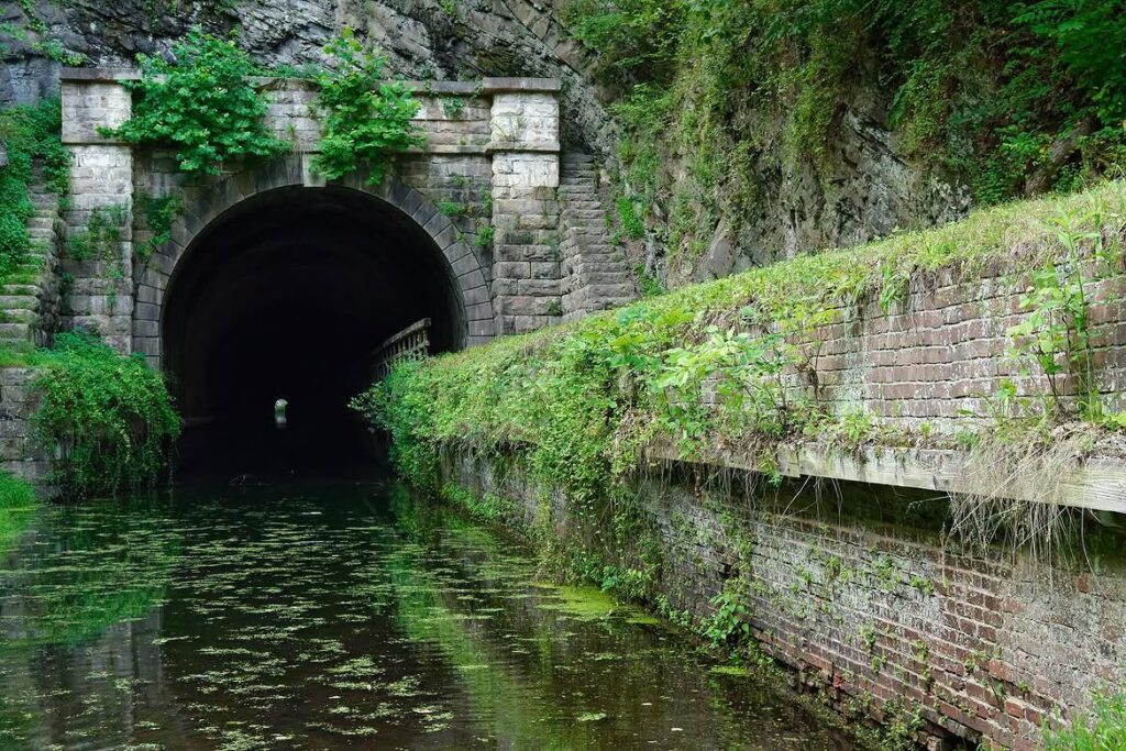
Paw Paw Falls sits along the C&O Canal on the Maryland side of the Paw Paw Tunnel. The surrounding canal path adds extra appeal, making this stop worth more than a quick photo break.
Set aside a few hours to walk the area and pass through the 3,118-foot tunnel. Since the interior is dark and damp, bring a dependable flashlight and wear shoes with good grip.
Local stories claim the tunnel may be haunted, adding a slightly eerie edge to the walk. Whether you believe the tales or not, the long passage and shadowy stone walls create a memorable atmosphere.
Visit the National Park Service website for current trail conditions, access details, and safety updates.
3. Cunningham Falls: Maryland’s Tallest Cascading Waterfall
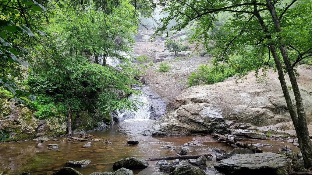
The next stop leads to Thurmont, where Cunningham Falls drops across a broad series of rocky ledges inside Cunningham Falls State Park. As Maryland’s tallest cascading waterfall, it remains one of the state’s most photographed natural attractions.
Visitors can approach the rocks near the falling water, though slippery surfaces call for steady footing and extra care. Several viewpoints provide good angles for photos without requiring a difficult climb.
After seeing the falls, spend more time on the park’s woodland trails or head to Hunting Creek Lake for a swim. The designated swimming area generally operates from Memorial Day through Labor Day, depending on park conditions and seasonal schedules.
4. Great Falls: Thunderous Potomac River Views Without a Long Hike
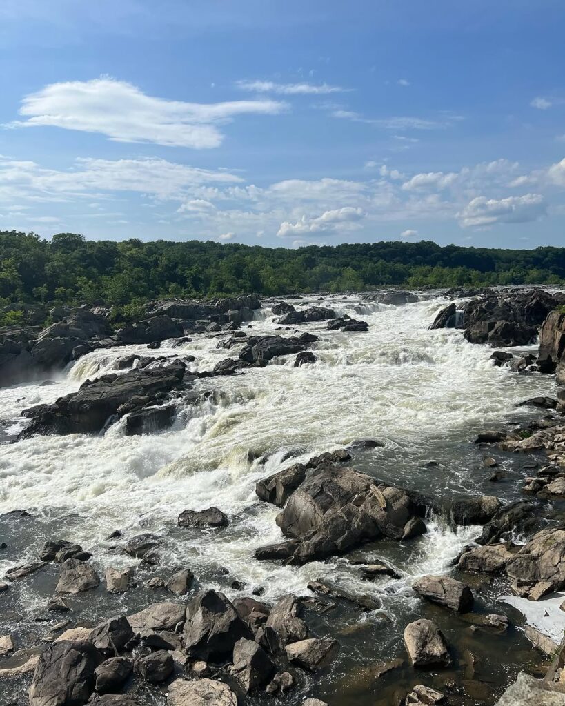
Great Falls reveals the raw force of the Potomac River as water rushes through a narrow, rocky gorge. Rainfall and changing river levels alter the scene throughout the year, so each visit may look dramatically different from the last.
Reaching the main overlook requires little effort. Begin near the Great Falls Tavern Visitor Center, then follow the short walking path to the viewing area.
From the overlooks, visitors can watch powerful currents crash around jagged rocks below. Visit the National Park Service website for updated access information, trail conditions, and river safety notices.
5. Cascade Falls: A Rocky Woodland Cascade in Patapsco Valley State Park
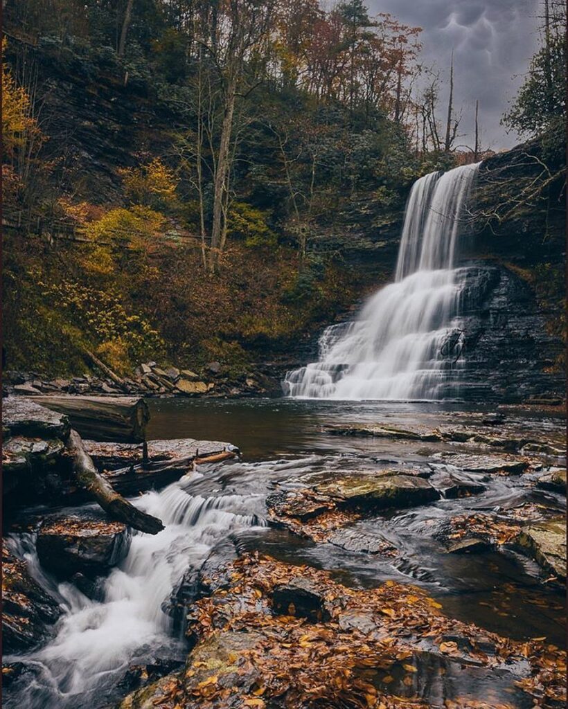
Cascade Falls offers a rewarding nature stop near Elkridge inside Patapsco Valley State Park. Water slips over broad rock shelves, creating a layered cascade framed by thick forest.
For the most direct access, begin in the Avalon area and follow signs for Cascade Falls Trail. The marked route covers roughly three miles, with changing terrain and several wooded sections along the way.
Take your time near the rocks, especially after rain when surfaces may become slick. Visit the Maryland Department of Natural Resources website for current trail updates, parking details, and park information.
You may also like :