Maine may look calm from a distance, with pine woods, fishing towns, long coastlines, and quiet two-lane roads. But ask drivers who live here year-round, and the warning changes fast. A road that feels peaceful in daylight can turn sharp, black, icy, foggy, or animal-filled after dark.
The danger is rarely loud at first. It sits in a blind curve, a patch of frost, a moose standing too tall for headlights, or a truck coming too fast on a narrow rural stretch. MaineDOT has warned that lane-departure crashes remain a leading cause of deaths and serious injuries on Maine roads, which makes these scenic routes feel far less harmless once conditions shift.
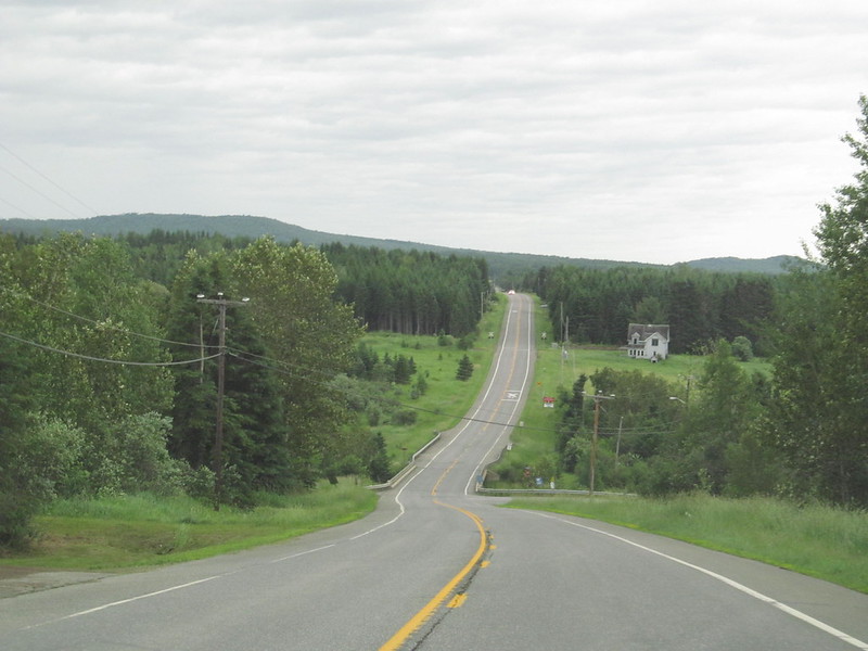
U.S. Route 1: Maine’s Coastal Road With a Hard Edge
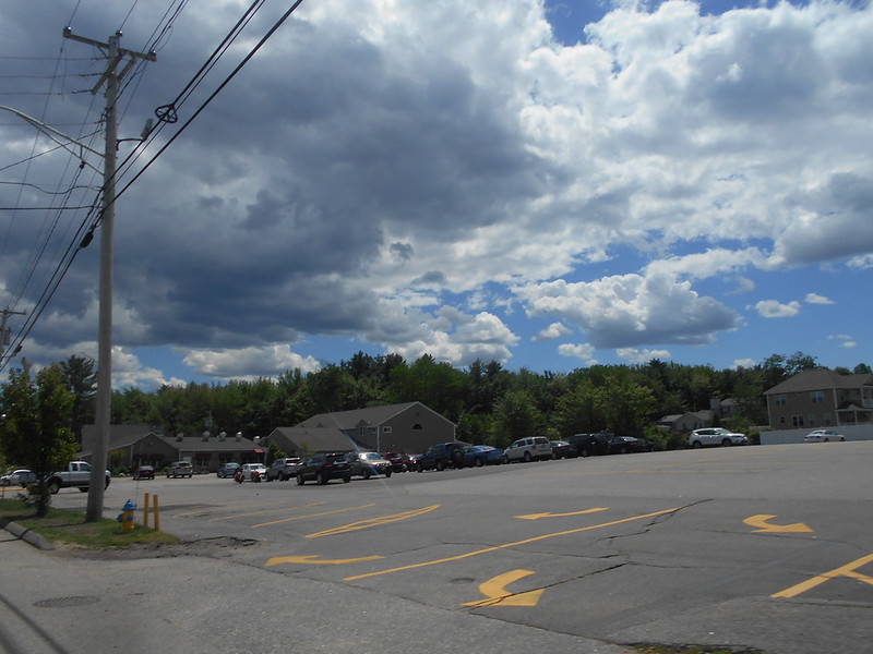
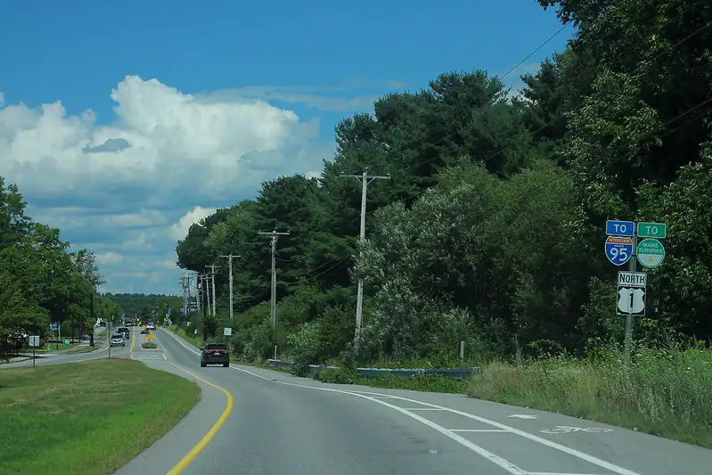
U.S. Route 1 is one of Maine’s most famous drives, but that fame does not make it gentle. It runs through tourist towns, fishing villages, forested sections, tight curves, busy intersections, and long rural gaps where the road can feel empty until it suddenly is not.
Drivers often treat Route 1 like a slow coastal ride, then run into brake lights, turning traffic, walkers, cyclists, delivery trucks, and out-of-state visitors who do not know the road rhythm. One Maine road-safety write-up has listed U.S. 1 as one of the state’s most dangerous roads, pointing to its long, twisting run from Kittery up toward Fort Kent.
At night, the route can feel even stranger. Headlights bounce off wet pavement, fog rolls in near the water, and small-town crossings appear with little warning. It is beautiful, yes, but locals know beauty does not cancel risk.
I-95: The Fast Maine Corridor That Punishes Small Mistakes
I-95 may not feel hidden, but its Maine stretch can still catch drivers off guard. It carries commuters, tourists, tractor-trailers, long-distance travelers, and tired drivers heading north or south for hours at a time.
The road can feel easy because it is wide and direct. That is part of the trap. Speed, fatigue, winter weather, sudden slowdowns, and long dark sections can make one small mistake feel massive. I-95 is also part of the larger East Coast corridor running from Houlton, Maine, to Miami, Florida, a route that appears in national highway danger discussions often.
In southern Maine, traffic can get tense. Farther north, the space opens up, but help can feel farther away. Either way, this is not a road to drive half-awake.
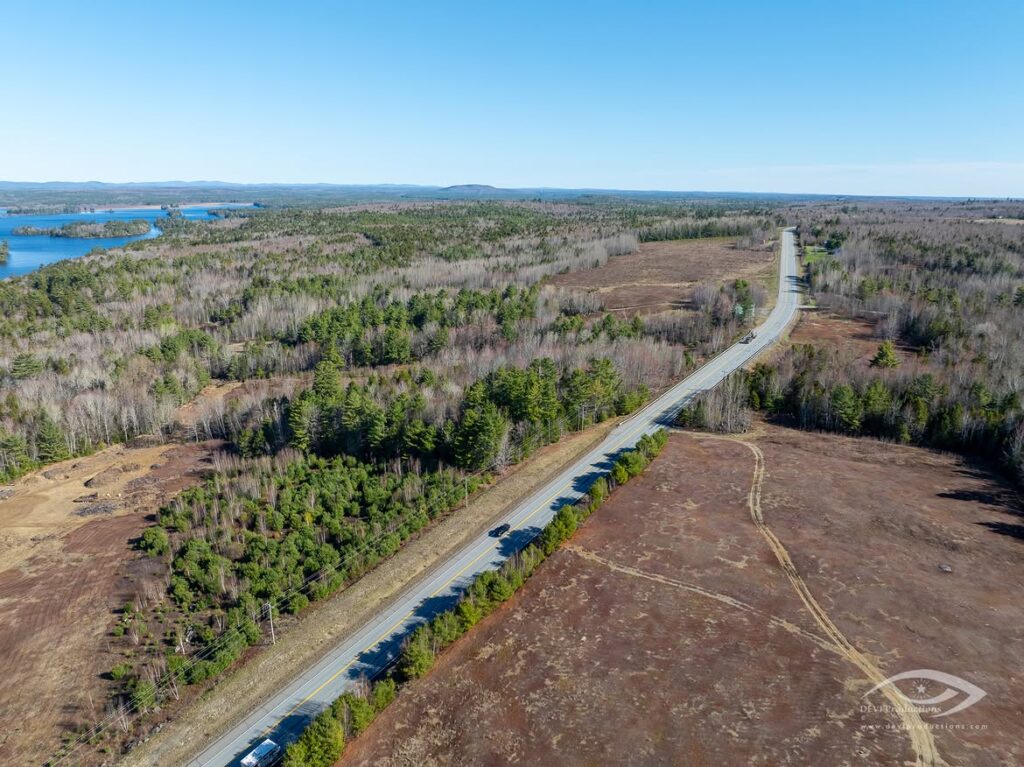
Route 201 Old Canada Road: Scenic, Remote, and Unforgiving
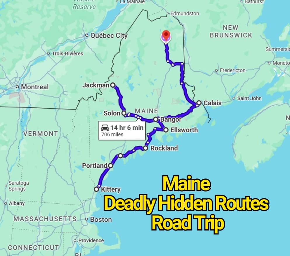
Route 201, also known as Old Canada Road, gives Maine one of its most dramatic drives. The scenic byway section runs from Solon to the Canadian border above Jackman, cutting through river country, forest, and mountain views.
That same remote beauty is why locals respect it. Curves, grades, sparse services, logging trucks, wildlife, and fast-changing weather can make this road feel much longer than it looks on a map. A missed gas stop or a sudden storm can turn a relaxed drive into a tense one.
This is the kind of Maine road where daylight matters. So does fuel. So does patience. The scenery may pull your eyes sideways, but the road needs them straight ahead.
Route 9 Airline Road: The Cut-Through That Feels Longer After Dark
Route 9, often called the Airline Road, is a major east-west route across Downeast Maine. It can feel like a shortcut, but shortcuts in Maine often come with lonely miles, wildlife crossings, rough weather, and stretches where the darkness feels thick.
This route is known by many locals as a serious drive, not a casual cruise. The road cuts through wooded land where animals can step out fast, and MaineDOT warns that moose are especially hard to spot because their eyes do not reflect headlights the way deer eyes do. Moose collisions rise sharply in May and June, though crashes can happen all year.
Late-night driving here is not just about staying awake. It is about expecting the road to change before you get time to react.
Route 11: Northern Maine’s Moose-Country Warning
Route 11 runs through northern Maine, where the road can feel quiet enough to lower your guard. That is exactly why it makes locals cautious. Long forested stretches, low light, open speed, and moose activity create a risky mix.
Maine has a serious moose-crash problem, especially in darker hours. Bangor Daily News reported that 74% of Maine moose crashes since 2016 happened at night, with May and June standing out as peak months.
Route 11 has also seen real moose-related crashes, including a reported case in northern Aroostook County where two separate vehicles struck the same moose on the Soucy Hill section.
This road is not scary because it looks wild. It is scary because it can look calm right before something huge steps into your lane.
Why Maine’s Hidden Road Trips Can Turn Deadly
The scariest roads in Maine are not always packed highways. Many are the quiet ones. The wooded routes. The coastal bends. The roads where a driver sees no one for miles and starts to relax too much.
Maine’s danger often comes from a mix of rural distance, darkness, winter pavement, lane departures, wildlife, and speed. A road trip here can still be memorable, but it asks for more respect than the map suggests.
So, before taking one of these Maine routes, slow down before the curve, watch for animals at dawn and dusk, keep fuel in the tank, and treat empty roads like they can still surprise you. Locals warn about these drives for a reason.
You may also like :