Wyoming’s country roads stretch through open plains, rugged mountain passes, quiet forests, and wide valleys where wildlife often appears beside the pavement. Many of these routes offer sweeping views that make the journey feel just as rewarding as the destination.
Nearly any highway outside Wyoming’s larger towns can turn into a scenic adventure. These roads may add extra miles to your trip, but they replace busy traffic and rushed travel with towering peaks, winding rivers, red-rock formations, and endless western skies.
Take your time, stop at roadside overlooks, and keep your camera close. Whether you travel through ranch country or follow a remote road into the mountains, Wyoming’s backroads provide memorable drives filled with raw landscapes and classic American West scenery.
1. Beartooth Scenic Highway: A High-Altitude Drive Through Wyoming
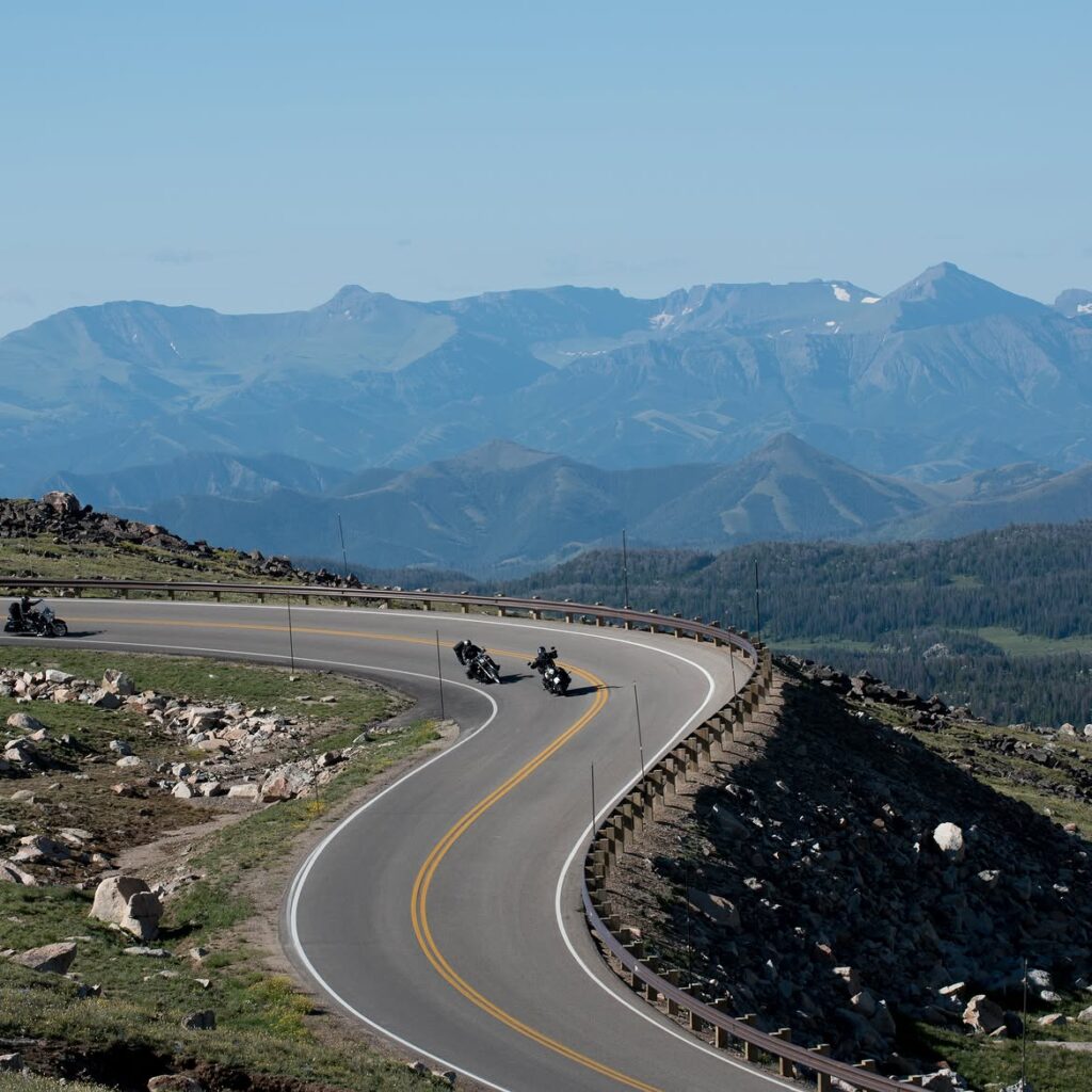
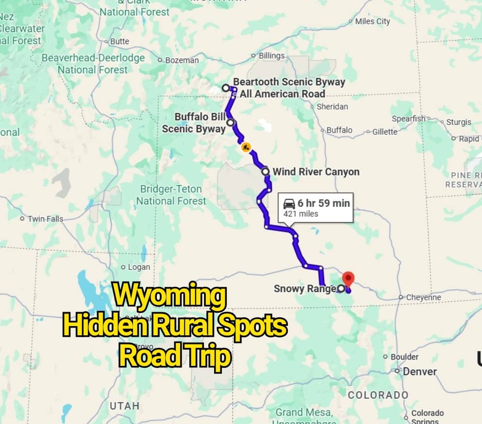
The Beartooth Scenic Highway stretches for 68 miles across southwestern Montana and northwestern Wyoming before reaching Yellowstone National Park near its Northeast Entrance. Recognized as an All-American Road, the route climbs through some of the highest terrain accessible by vehicle in the region.
Along the way, drivers pass sweeping views of the Beartooth and Absaroka mountain ranges, broad alpine plateaus, clear glacial lakes, waterfalls, and dense forests. Wildlife sightings are also common, especially in the quieter sections far from towns and busy highways.
Gallatin and Shoshone National Forests surround much of the road, while the Absaroka-Beartooth Wilderness rises nearby. Sharp curves, steep grades, and changing weather make this drive one to take slowly, but the dramatic mountain scenery makes every mile worthwhile.
2. Wind River Canyon Scenic Byway: Red Cliffs, Reservoir Views, and Mountain Wildlife
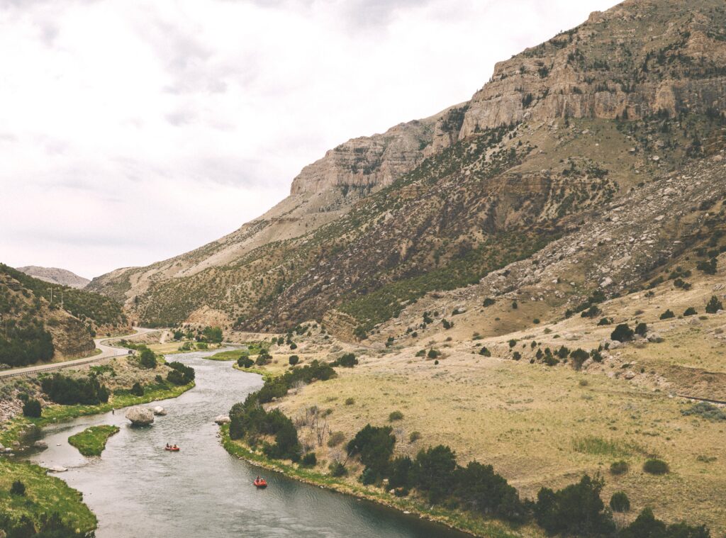
Wind River Canyon Scenic Byway follows a 34-mile section of U.S. Highway 20 through central Wyoming. Beginning near Shoshoni at milepost 100, the route continues through Boysen State Park, crosses part of the Wind River Indian Reservation, and finishes north of Thermopolis at milepost 134.
Soon after leaving Shoshoni, the road passes Boysen Reservoir and the yellow-and-red formations of the Owl Creek Mountains. The landscape gradually tightens as the highway enters Wind River Canyon, where massive rock walls rise beside the road and the river threads through the narrow passage below.
Keep an eye on the cliffs, as bighorn sheep are sometimes seen standing on rocky ledges above the highway. The drive concludes near Thermopolis, a small Wyoming town known for its mineral hot springs and relaxing pools.
3. Snowy Range Scenic Byway: Wyoming’s Great Skyroad
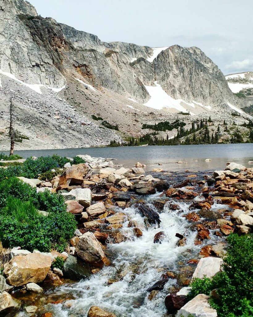
Known as the “Great Skyroad,” Snowy Range Scenic Byway offers a striking alternative to Interstate 80. The route travels across southeastern Wyoming and climbs through the Medicine Bow Mountains, crossing one of the state’s highest mountain passes.
A 29-mile portion follows Highway 130 through Medicine Bow-Routt National Forest. During the roughly one-hour drive, travelers pass alpine lakes, grassy meadows, rushing mountain streams, and granite peaks rising above the roadway.
Seasonal conditions limit access to this high-elevation route. The byway generally closes around mid-November as snow accumulates and usually reopens by Memorial Day weekend, depending on weather and road-clearing progress.
4. Buffalo Bill Cody Scenic Byway: A Wild Route to Yellowstone
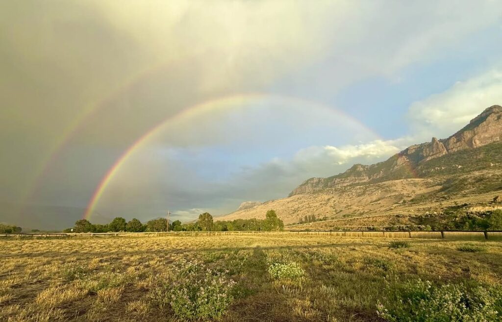
Buffalo Bill Cody Scenic Byway follows the North Fork of the Shoshone River through Wapiti Valley before reaching Yellowstone National Park’s East Entrance. The route begins west of Cody, near the boundary of Shoshone National Forest.
This 27-mile drive takes about 45 minutes without stops, though the mountain scenery may tempt travelers to linger longer. Steep cliffs, forested slopes, unusual rock formations, and open valley views surround much of the highway.
Wildlife may appear along the roadside, including elk, deer, bighorn sheep, and occasionally bears. With river scenery and dramatic mountain walls unfolding along the way, the byway creates a memorable approach to Yellowstone.
5. Wyoming Centennial Scenic Byway: A 163-Mile Journey Across Wild Country
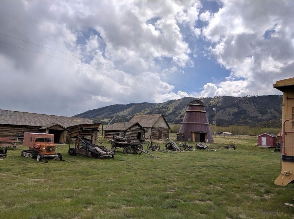
The Wyoming Centennial Scenic Byway travels 163 miles between Pinedale and Dubois. Its route follows sections of U.S. 26, U.S. 287, U.S. 89, and U.S. 191 through some of western Wyoming’s broadest landscapes.
Drivers move past working ranches, weathered badlands, river valleys, forests, and high mountain terrain. Long stretches of open road make the trip feel remote, while each bend reveals another view shaped by Wyoming’s rugged geography.
Near Togwotee Pass, the Teton Range rises sharply across the western horizon. Scenic pullouts provide excellent places to pause, take photographs, and appreciate the snowcapped peaks before continuing through the surrounding wilderness.
You may also like :