Missouri may be known for rolling farmland, lively cities, and Ozark mountain views, but its waterfalls reveal a completely different side of the state. Hidden along forest trails, rocky creeks, and quiet state parks, these cascades create perfect stops for a scenic road trip.
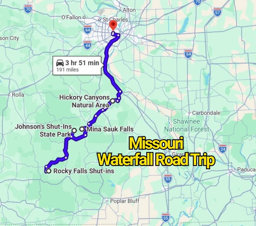
The Missouri Waterfall Road Trip Map connects some of the state’s most impressive falls in one memorable journey. Along the route, travelers can see rushing water spilling over stone ledges, peaceful woodland streams, and dramatic rock formations shaped over time.
Pack comfortable shoes, bring a camera, and prepare for a drive filled with surprising natural scenery. From easy roadside stops to short forest walks, this route may completely change how you picture Missouri.
1. Cascades, Forest Park: A Man-Made Waterfall With Historic Roots
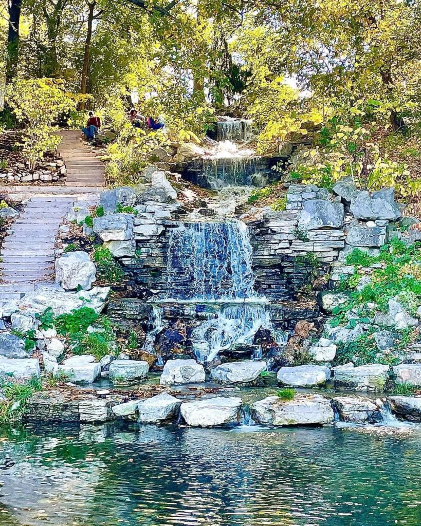
The Cascades, often called Flegel Falls, bring an unexpected rush of water to Forest Park in St. Louis. This 75-foot waterfall was constructed during the 1930s, giving the park a dramatic feature that feels much older than it is.
Its design pays tribute to the grand World’s Fair Cascades that once flowed down Art Hill during the 1904 fair. That connection adds a layer of local history to the rocky channels, stair-stepped drops, and wooded surroundings.
You’ll find the falls on a steep slope west of the Saint Louis Art Museum. Since the site sits close to several major park attractions, it makes an easy stop for travelers who want scenery, history, and a relaxing walk without leaving the city.
2. Hickory Canyons, Ste. Genevieve: A Rain-Fed Cascade Along Rocky Bluffs
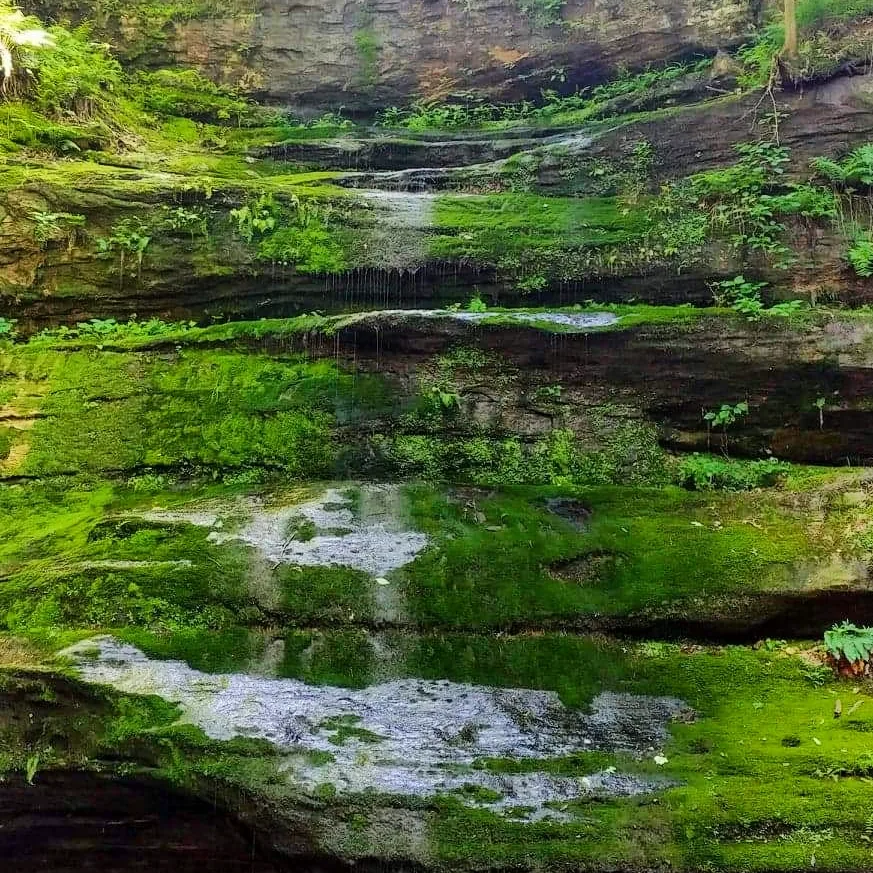
Hickory Canyons Natural Area delivers its best waterfall display after steady rainfall. The seasonal cascade appears near the end of the trail on the east side of the county road, where water pours over the rugged stone face.
Reaching the falls requires an easy half-mile hike. Along the route, hikers pass weathered bluffs, shallow rock shelters, and forested stretches that make the walk feel rewarding even before the waterfall comes into view.
Because the cascade depends on recent rain, water levels can change quickly throughout the year. Visit after a wet spell for the strongest flow, and wear shoes with reliable grip since portions of the path may become damp or slick.
3. Mina Sauk Falls, Taum Sauk Mountain State Park: Missouri’s Tallest Waterfall
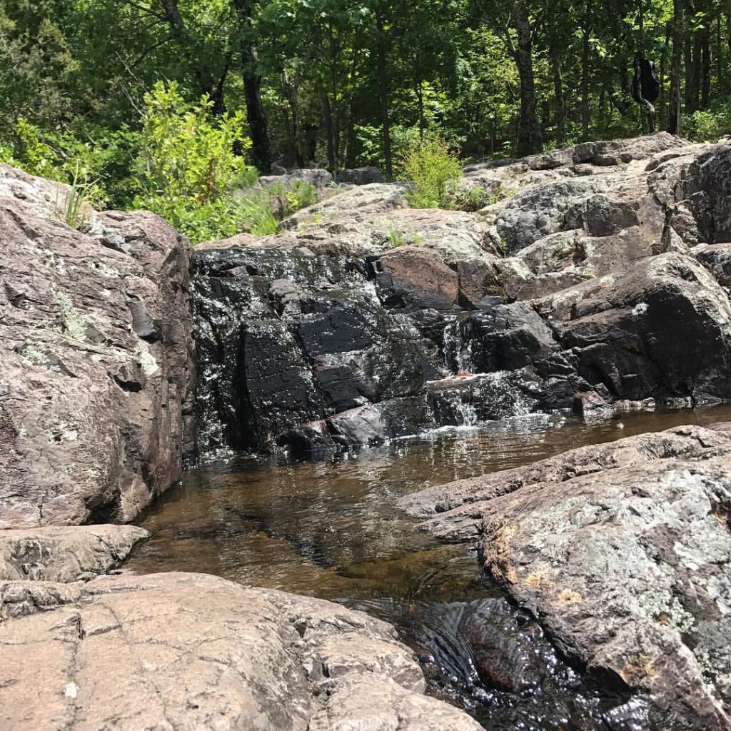
Mina Sauk Falls drops 132 feet across a dramatic staircase of rocky ledges before reaching Taum Sauk Creek. As Missouri’s tallest waterfall, it stands out as one of the most impressive stops on this road trip.
The cascade depends heavily on rainfall, so the water may appear light during dry periods. Visit after several rainy days to see stronger streams rushing over the exposed rock formations.
Located inside Taum Sauk Mountain State Park, the falls are also close to the next destination on the route. Its towering drop and rugged surroundings make it an unforgettable highlight on any Missouri waterfall map.
4. Johnson’s Shut-Ins, Taum Sauk Mountain: Cascades Carved Through Ancient Rock
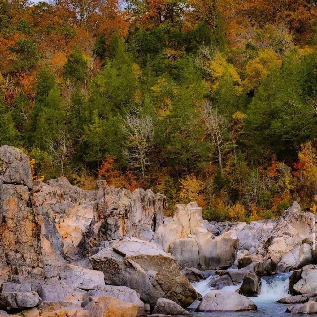
Near the base of Taum Sauk Mountain, Johnson’s Shut-Ins State Park presents one of Missouri’s most striking water features. The East Fork of the Black River squeezes through narrow channels formed in ancient volcanic rock, creating rushing chutes, small falls, and swirling pools.
Visitors can view the moving water from several angles, with each section revealing a different pattern. Some streams race through tight passages, while others divide into thin rivulets that slide across smooth igneous stone.
Years of flowing water have rounded the rocks and shaped the riverbed into a natural maze. The result feels less like a single waterfall and more like an extended series of cascades, making this stop a memorable part of the Missouri waterfall road trip.
5. Rocky Falls, Stegall Mountain Natural Area: A 60-Foot Cascade Over Ancient Stone
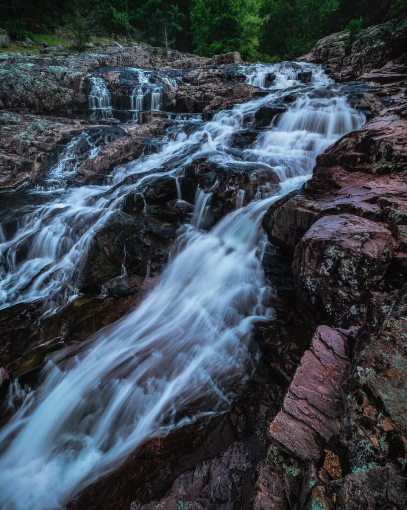
Rocky Falls in Shannon County is another Missouri waterfall shaped like a natural shut-in. Located about nine miles southeast of Eminence along Highway NN, the site feels wild and dramatic without requiring a long trek.
Water tumbles roughly 60 feet across dark igneous rock before collecting in a cold, clear pool below. The broad rock face creates several streams during stronger flow, giving the falls a layered appearance after rainfall.
Summer brings swimmers looking for relief from the heat, while cooler months offer a quieter view of the surrounding woodland and exposed stone. With its broad cascade, clear pool, and easy access, Rocky Falls may be one of the most striking stops on the entire route.
You may also like :