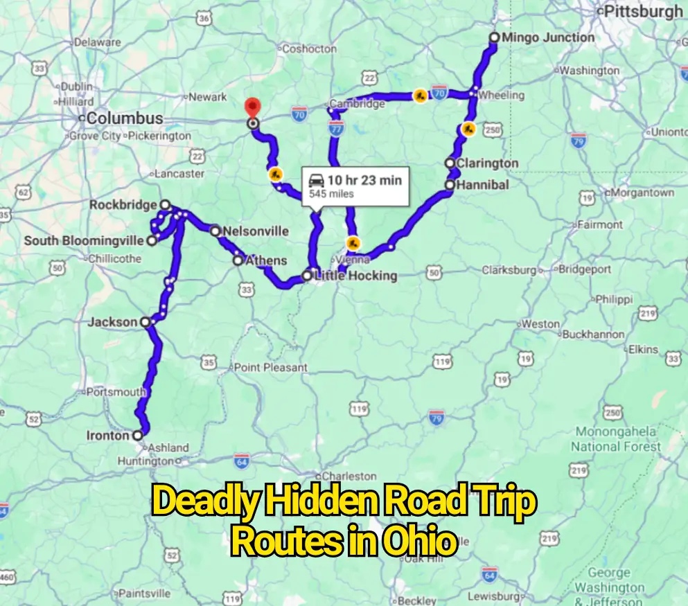
Ohio’s most intimidating roads are rarely the crowded interstates shown in national crash rankings. The roads that unsettle experienced drivers often run through the Appalachian hills, where blind rises, sudden bends, steep drop-offs, wildlife, farm traffic, and weak phone service can appear within the same few miles.
This is not an official state ranking of Ohio’s deadliest roads. The routes below were selected because transportation records, scenic-byway descriptions, police reports, and local news coverage document fatal crashes, serious collisions, slope failures, flooding, rockfalls, sharp geometry, or known traffic conflicts. The risk usually comes from several small hazards stacking together rather than one obviously dangerous feature.
State Route 555
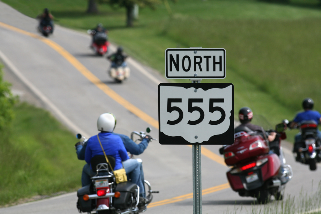
State Route 555 runs for roughly 62 miles between Little Hocking and the Zanesville area, crossing rural portions of Washington, Morgan, Perry, and Muskingum counties. Drivers know it as the Triple Nickel, while regional tourism groups promote it as one of Ohio’s best motorcycle roads. That reputation comes from the same features that demand caution: rolling pavement, quick direction changes, blind hilltops, scattered homes, farm entrances, and long stretches with very little traffic.
The road rarely gives drivers a steady rhythm. A broad bend can tighten after its entry point, while a crest may hide another curve, a slow vehicle, gravel, wildlife, or an oncoming driver close to the center line. The isolation can also tempt visitors to drive faster than their sight distance allows.
Its danger is not theoretical. In June 2026, the Ohio State Highway Patrol investigated a fatal single-vehicle crash on SR 555 in Morgan County. Investigators said the vehicle left the road and overturned, with alcohol believed to be a factor. The incident does not prove that the highway itself caused the crash, but it shows how little room the corridor gives drivers after control is lost.
State Route 536
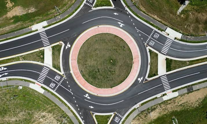
State Route 536 is only about 12.6 miles long, yet it may feel more demanding than roads several times its length. The signed section leaves Hannibal near the Ohio River, climbs out of town through repeated hairpin turns, and follows high ground across the hills of Monroe County before meeting SR 78 at an unsignalized junction. Portions of the road also pass through Wayne National Forest.
The first climb is the section most likely to catch an unfamiliar driver. The road gains elevation quickly, visibility changes from one bend to the next, and opposing vehicles may need more pavement than expected. After the climb, ridge sections create a different problem. Drivers can become comfortable with the open view, then meet another sharp descent or enclosed wooded bend.
The hillside itself can become part of the threat. Heavy rain caused a landslide on SR 536 in February 2024, forcing ODOT to close one lane and install temporary traffic signals. That event matters because it shows that the route’s risk is affected by the ground surrounding the pavement, not merely by driver behavior.
State Route 78
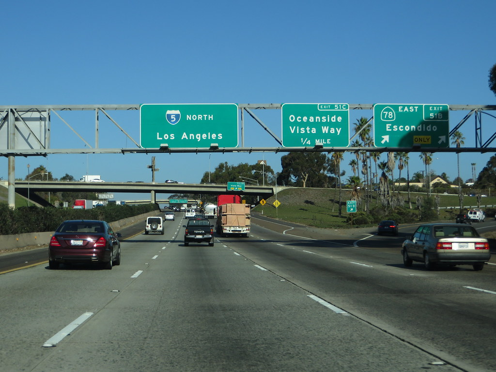
State Route 78 stretches about 105 miles from Nelsonville to Clarington and forms a major part of Ohio’s Appalachian Byway. The famous segment near Burr Oak State Park is often called the Rim of the World because it crosses high, rolling ground with sweeping views and repeated curves. Road-trip photographs make it appear peaceful, but the road can become demanding very quickly.
The corridor passes through old coal country, wooded hills, small settlements, and areas where commercial vehicles serve farms, energy operations, and local industries. A traveler may leave a quiet curve and suddenly encounter a truck entering the road, a vehicle slowing for a side road, or a junction hidden by the terrain.
A deadly May 2026 collision in Adams Township demonstrated that risk. According to the Ohio State Highway Patrol, a tractor-trailer entering westbound SR 78 failed to yield to an eastbound pickup. The first impact was followed by another collision with the trailer remaining in the roadway. One passenger died, while other people suffered serious injuries.
The lesson is more complicated than simply slowing for the curves. Drivers must also watch minor junctions, industrial entrances, and vehicles that may block both lanes after an initial mistake.
State Route 7
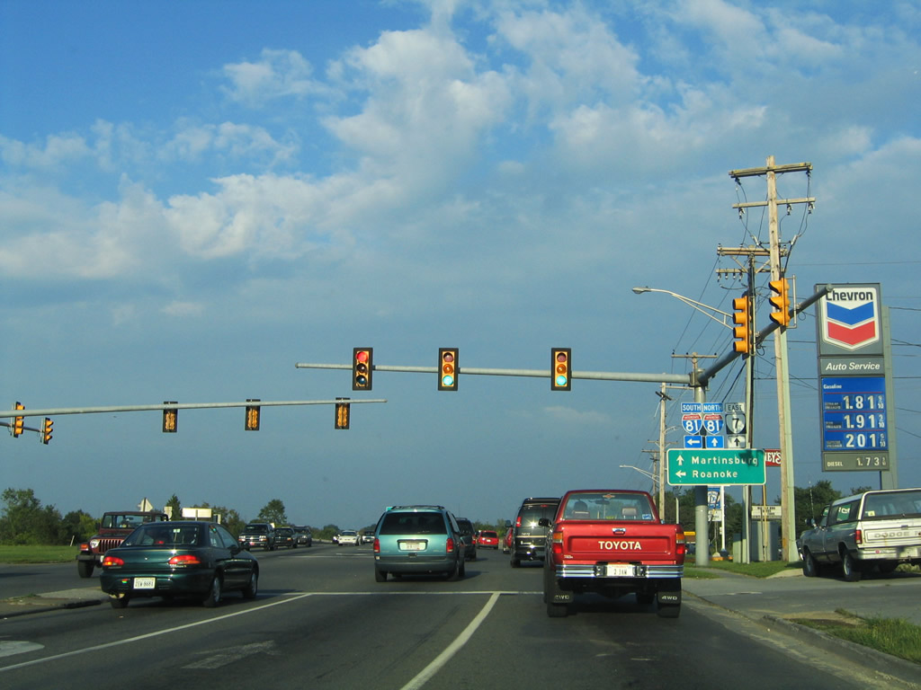
State Route 7 follows much of Ohio’s eastern edge and is the longest state-numbered route in Ohio. The section along the Ohio River can feel more like a major highway than a hidden back road, but portions near Mingo Junction run between steep slopes, industrial land, river communities, and limited alternate routes.
The major concern here is not a string of playful curves. It is the scale of the terrain above the pavement. ODOT began a long-term rockfall-remediation project near Mingo Junction, using hillside excavation and protective measures to reduce material falling onto the highway. In July 2024, blasting released more rock than expected, sending debris across both lanes and closing the road.
The road later reopened, and the larger hillside project moved closer to completion during 2025. Still, the event explains why local drivers pay attention to barriers, work zones, lane shifts, and weather along this corridor. A route beside a steep cut slope can change faster than an ordinary rural highway.
State Route 374
State Route 374 carries the Hocking Hills Scenic Byway through one of Ohio’s busiest outdoor destinations. The nationally designated byway covers about 26 miles and links the separate sites of Hocking Hills State Park, including areas near Cantwell Cliffs, Rock House, Conkle’s Hollow, Old Man’s Cave, Cedar Falls, and Ash Cave.
The road itself is only part of the concern. Visitors brake for signs, search for parking entrances, turn into trail areas, and sometimes cross near heavily used park facilities. During peak weekends, the mix may include local commuters, motorcycles, cabin guests, delivery vehicles, hikers, and tourists who are watching the forest instead of the traffic ahead.
Ohio previously realigned about one mile of the SR 374 and SR 664 corridor near Old Man’s Cave to reduce conflict between road traffic and pedestrians. That project is important evidence that the danger around Hocking Hills is not based solely on rumors. The combination of park access, foot traffic, turning vehicles, and curved terrain required a physical change to the roadway.
Rain and winter shade can add another layer. Dense tree cover may leave damp or icy pavement in places where nearby open sections appear dry. Drivers entering the region from US 33 should treat the byway as a park-access road rather than a fast scenic shortcut.
State Route 56
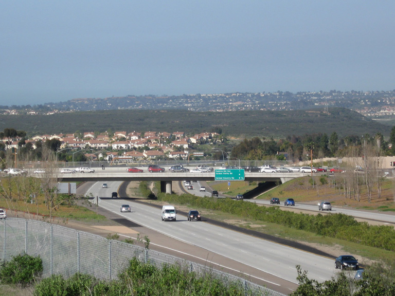
State Route 56 crosses a large section of southern Ohio, but the eastern portion beyond Laurelville has the strongest back-road character. It passes through Hocking, Vinton, and Athens counties before ending in Athens. Along the way, the road moves through wooded hills, small communities, and long gaps between major services.
The scenery can create false confidence. Traffic may be light, yet the driver still has to account for motorcycles, deer, hidden driveways, narrow shoulders, and curves that reduce the distance available for braking. Darkness makes these features harder to read because much of the corridor lacks the lighting found near larger towns.
In June 2024, a motorcyclist died in a single-vehicle crash on SR 56 in Vinton County after losing control near milepost four, according to the Ohio State Highway Patrol. An earlier crash at the SR 56 and SR 93 intersection killed four people after a vehicle entered the path of a truck. Local residents interviewed after that collision said crashes had occurred repeatedly around the intersection.
These incidents had different causes, so they should not be presented as proof that every mile is equally hazardous. They do show why speed, intersection awareness, and braking distance matter on a road that often looks emptier than it is.
State Route 93
The southern section of State Route 93 begins near Ironton and moves north through Lawrence County before continuing across southeastern Ohio. Close to Ironton, drivers encounter wooded hills, curves, truck traffic, and frequent changes in elevation. It is a normal working road for local residents, but visitors may treat it as an open scenic run.
Head-on collisions are the central fear on a two-lane route like this. In July 2026, two people were taken to a hospital after a head-on crash on SR 93 about 10 miles north of Ironton. The Ohio State Highway Patrol also investigated a fatal two-vehicle collision on the route in Lawrence County in October 2025.
A separate fatal crash was reported on SR 93 in Hocking County in 2020, while the SR 93 and SR 56 junction in Vinton County has also been the site of major collisions. These events occurred in different counties and under different circumstances, but together they show that the route deserves steady attention rather than sudden acceleration on its quieter sections.
Drivers should avoid cutting a curve, even when no vehicle is visible at its entrance. A vehicle hidden by trees or elevation may appear before there is enough space to correct a center-line crossing.
State Route 26
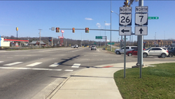
State Route 26 follows the National Forest Covered Bridge Scenic Byway between Marietta and the Woodsfield area. Much of the route parallels the Little Muskingum River and passes through the Wayne National Forest landscape. Federal and county sources describe the scenic-byway portion as a self-guided drive through rural countryside, historic sites, campgrounds, and river valleys.
The river-valley setting is also what makes the road troublesome during storms. Low ground can collect water, debris may wash onto the pavement, and the combination of shaded curves and wet surfaces can reduce traction. In February 2024, SR 26 was closed in places because of flooding, and authorities reported that one driver had become stuck in high water. Additional closures were reported around the corridor following later storms.
The curved sections have also seen fatal crashes. In August 2024, the Ohio State Highway Patrol investigated a fatal motorcycle crash near milepost nine in Lawrence Township. Authorities said the rider was negotiating a left turn when control was lost; impairment was not suspected.
SR 26 is a strong example of why a calm, low-traffic road is not automatically a low-risk road. Its hazards come from curvature, river flooding, fallen debris, shade, isolation, and limited recovery space rather than urban congestion.
Why these Ohio roads become more dangerous after dark or bad weather
The common thread across these roads is restricted sight distance. A driver cannot respond to a hazard that remains hidden beyond a crest, behind a rock cut, or around a wooded bend. Rain adds standing water and slope movement. Winter adds shaded ice. Darkness hides wildlife, broken pavement, farm equipment, and vehicles stopped near side roads.

Motorcyclists face an added problem because loose gravel, mud, wet leaves, and abrupt surface changes affect two wheels more quickly. Car drivers should avoid drifting across the center line on curves and give motorcycles enough following space. Scenic views should be enjoyed from legal pull-offs rather than while the vehicle is moving.
Current closures, construction zones, flooding, and incidents can be checked through ODOT’s OHGO service before departure. Conditions mentioned in historical reports may no longer be active, while new problems may appear without warning.