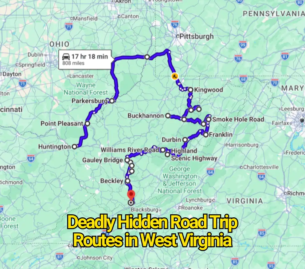
West Virginia’s mountain roads can turn an ordinary drive into a demanding journey. Sharp bends, steep drops, fog, ice, truck traffic, and weak cell service create serious risks on many rural routes.
There is no official list of “hidden deadly roads” in the state. However, the routes below have documented crashes, difficult terrain, or safety warnings from transportation agencies and park officials. Slow down, check weather reports, and avoid unfamiliar mountain roads after dark.
1. West Virginia Route 2 Along the Ohio River
Route: Huntington to Chester
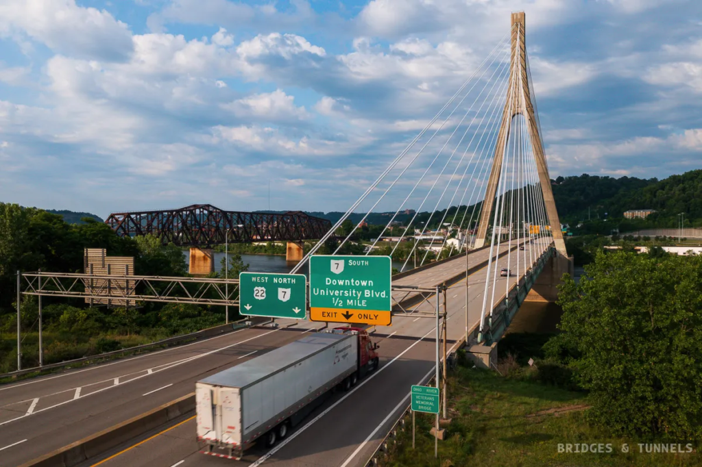
West Virginia Route 2 follows the Ohio River through towns such as Point Pleasant, Parkersburg, Moundsville, and Wheeling. Long stretches remain two lanes, while homes, businesses, intersections, and industrial traffic sit close to the roadway.
Drivers often face sudden speed changes and slow-moving trucks. Passing opportunities can be limited, especially near smaller river communities. A moment of impatience on this road may lead to a dangerous head-on collision.
2. U.S. Route 33 Near Seneca Rocks
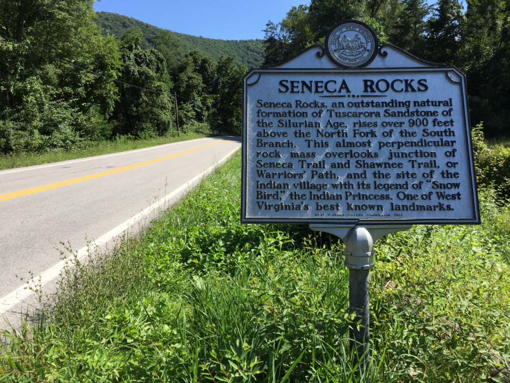
Route: Elkins to Seneca Rocks and Franklin
U.S. Route 33 climbs across high mountain ridges east of Elkins. The road contains steep grades, sweeping downhill sections, blind turns, and areas where fog may cover the pavement without warning.
Winter conditions can make this drive far more hazardous. Snow and freezing rain often arrive earlier at higher elevations. Heavy trucks may also struggle on the long slopes, so drivers should leave extra space.
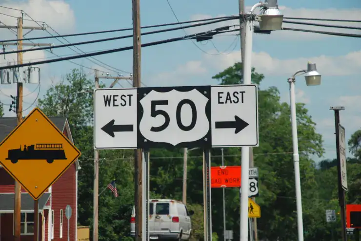
3. U.S. Route 50 Across the Allegheny Front
Route: Grafton to Aurora, Mount Storm, and the Virginia border
The eastern section of U.S. Route 50 is known for sharp curves and major elevation changes. Around Aurora and Mount Storm, the road crosses exposed ridges where freezing temperatures can create slick pavement.
Black ice is one of the biggest concerns during colder months. A road that appears dry may still contain frozen patches near bridges, shaded bends, and mountain passes. Night driving can be especially difficult.
4. U.S. Route 60 Across Gauley Mountain
Route: Gauley Bridge to Ansted and Hawks Nest
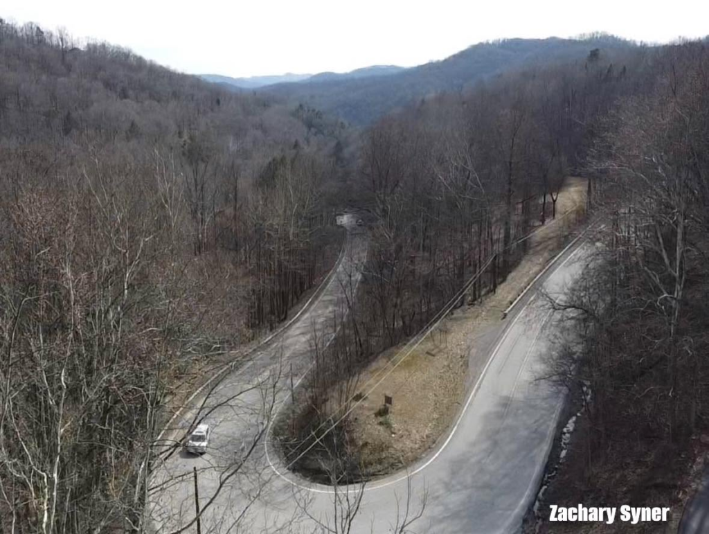
U.S. Route 60 rises sharply from Gauley Bridge before twisting around Gauley Mountain. Tight switchbacks, rock walls, narrow shoulders, and steep drops make this section difficult for first-time visitors.
Large recreational vehicles may need extra room around the bends. Rain can reduce tire grip, while thick fog may hide traffic approaching from the opposite direction. Locals know that rushing this climb is rarely worth the risk.
5. West Virginia Route 16 Through Beckley
Route: Cross Street to Maxwell Hill Road
Route 16 passes through a busy section of Beckley where traffic conditions change quickly. Wider lanes may narrow, vehicles enter from side streets, and curves limit how far drivers can see ahead.
Homes and businesses add frequent turning traffic. Drivers should watch for sudden braking near intersections and driveways. The combination of local traffic and limited visibility has contributed to serious crashes along this corridor.
6. U.S. Route 250 Between Elkins and Durbin
Route: Elkins to Huttonsville, Bartow, and Durbin
U.S. Route 250 crosses rugged mountain terrain after leaving Elkins. Drivers encounter repeated climbs, tight curves, downhill runs, and forested sections with little roadside lighting.
The road can feel isolated, particularly after dark. Wildlife may enter the lanes, and cell reception may disappear in remote areas. Fuel, food, and emergency services are also less available than they are near larger towns.
7. Fayette Station Road
Location: New River Gorge National Park
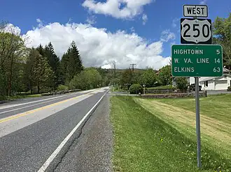
Fayette Station Road is an eight-mile drive that descends into the New River Gorge. Much of the route is narrow and one-way, with tight bends that pass beneath the New River Gorge Bridge.
The road was built for slower traffic and smaller vehicles. Trailers and large recreational vehicles may struggle with clearance and turning space. Drivers should use lower gears while descending and watch carefully for cyclists.
8. Thurmond Road and West Virginia Route 25
Route: Glen Jean to Thurmond
The approach to Thurmond runs through remote woodland before reaching the historic railroad town. As the road continues, lanes become tighter and the curves grow sharper.
Large vehicles may have difficulty passing oncoming traffic. Recreational vehicles and trailers are generally discouraged because turning areas are limited. Heavy rain can also wash debris onto the roadway.
9. Route 26 and River Road Near Thurmond
Location: New River Gorge area
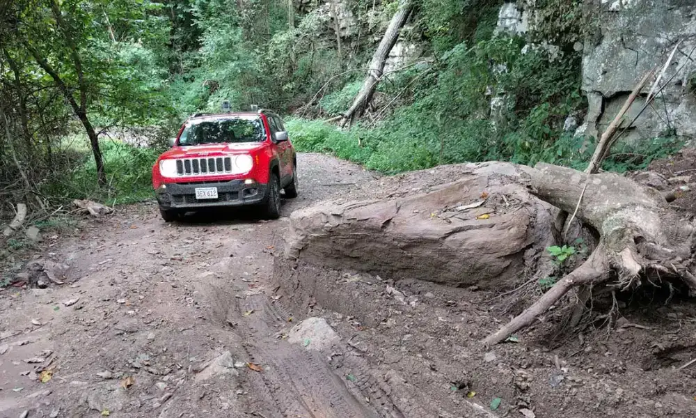
Route 26 follows the New River through an isolated part of the gorge. Trees, rock faces, and steep slopes sit close to the pavement, leaving drivers with little recovery space after a mistake.
Cell service can be unreliable along the route. Fallen branches, loose stones, flooding, and unexpected wildlife may also appear. Carry basic supplies and avoid relying entirely on phone-based directions.
10. West Virginia Route 150
Route: Highland Scenic Highway near Marlinton
Route 150 travels across a high mountain plateau in the Monongahela National Forest. The drive offers wide views, but its elevation brings fast-changing weather and long sections without nearby services.
Fog can reduce visibility within minutes. Snow and ice may remain on the road even when lower valleys are clear. Some sections may close during severe winter conditions, so checking road status before leaving is essential.
11. West Virginia Route 72
Route: Parsons to Kingwood
Route 72 follows Cheat River through parts of Tucker and Preston counties. It contains narrow lanes, rough edges, wooded curves, and sections where the river sits close to the road.
Flooding and fallen rocks can create sudden problems after storms. Drivers may also meet logging trucks on bends with limited visibility. Reduce speed before each curve rather than braking halfway through it.
12. West Virginia Route 20 Through the Mountains
Route: Princeton to Buckhannon
Route 20 is one of the state’s longest highways and passes through several rural mountain areas. Some sections contain steep hills, narrow bridges, sharp bends, and small communities with frequent local traffic.
Conditions vary greatly along the route. One section may feel open and easy, while the next may become tight and winding. Deer are common near wooded areas, especially around sunrise and sunset.

13. Smoke Hole Road
Location: Near Petersburg and Seneca Rocks
Smoke Hole Road runs beside the South Branch Potomac River through a remote mountain valley. The road is narrow, curving, and bordered by rock walls in several places.
Drivers may have little room to move aside when another vehicle approaches. Flooding, loose gravel, and wildlife can add further danger. The drive is best completed during daylight and dry weather.
14. Williams River Road
Location: Monongahela National Forest
Williams River Road follows the river through a heavily wooded section of the national forest. Parts of the road may be gravel, uneven, or damaged after storms and winter weather.
There are few services nearby, and phone signals can be weak. Potholes, mud, fallen trees, and washed-out edges may slow the trip. A vehicle with good ground clearance is helpful during rough conditions.
15. Blackwater Canyon Area Roads
Location: Near Davis, Thomas, and Blackwater Falls State Park
Roads around Blackwater Canyon cross high ground where winter weather can become severe. Snow, freezing fog, and ice often make curves and hills harder to handle.
Tourist traffic may increase during fall foliage and holiday weekends. Drivers should expect sudden stops near overlooks, trail entrances, and park roads. Leave more space between vehicles and avoid speeding downhill.
Final Safety Reminder
West Virginia’s backroads reward careful drivers with mountain scenery, river valleys, and quiet towns. Yet many routes provide little room for error. Weather, road width, vehicle size, and daylight can all change the level of risk.
Check closures before departure, keep the fuel tank filled, and download offline maps. Most importantly, drive at a speed that matches the road rather than the posted limit. On these mountain routes, arriving late is far better than failing to arrive.