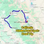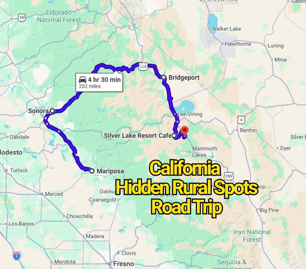
California is famous for its beaches, big cities, theme parks, and national parks, but the state has another side that many travelers rush past. Beyond the busy highways and popular photo stops, there are quiet backroads, tiny towns, farm valleys, desert corners, and mountain routes that feel far removed from the usual California trip.
This California road trip map takes you away from the crowded places and into rural spots where the scenery changes fast. One minute, you might be driving past golden hills and old barns. The next, you could be rolling through wine country, redwood edges, forgotten mining towns, or peaceful desert roads with barely another car in sight.
If you love small-town charm, scenic drives, roadside surprises, and places that still feel a little under the radar, this route is a fun way to see California differently. Pack snacks, fill the gas tank early, and get ready for a slower kind of adventure through some of the state’s most overlooked rural gems.
1. Sonora: A Gold Rush Town With Backroad California Character
Start this rural California road trip in Sonora, a Sierra Nevada Foothills town sitting along Highway 49, just north of Highway 108 in Tuolumne County. It feels like the kind of place where history still walks beside you, with old storefronts, hillside streets, and a slower pace that pulls you away from the usual California rush.
Sonora has around 5,500 residents, but its past carries a much larger story. During the Gold Rush, it became one of the key mining towns in this part of the state and earned the proud nickname “the Queen of the Southern Mines.”
The best way to get a feel for the town is to take the self-guided walking tour through Historic Downtown Sonora. The route includes 21 historic buildings, each adding another piece to the story of the people, money, faith, and grit that shaped this foothill community.
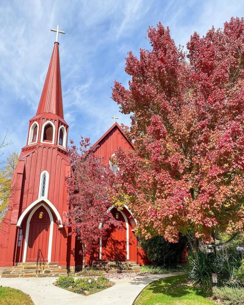
One stop that stands out quickly is St. James Episcopal Church. Locals and visitors often call it “The Red Church” because of its deep crimson color, which can be spotted from several blocks away.
It is more than a photo stop, though. For generations, the church has been part of Sonora’s daily life, giving this small town one of its most recognizable landmarks and a strong sense of place.
Before leaving Sonora, spend a little extra time wandering the streets, looking at the old details, and letting the town set the tone for the drive ahead. This is not the loud, crowded version of California. It is the backroad version, and Sonora is a fitting first chapter.
2. Mariposa: A Tiny Butterfly Town Near Yosemite’s Edge
From Sonora, the route rolls south to Mariposa, a small town with a name that means “butterfly” in Spanish. The name came from the monarch butterflies that once passed through this area on their long journey south to México.
Mariposa was first settled in 1849, and it still carries that old California foothill feeling. With around 1,200 residents, the town is so small that you will not even find a traffic light here. That detail alone tells you how far this stop feels from the busier side of the state.
Even with its tiny size, Mariposa gets plenty of attention from travelers heading to Yosemite National Park. Others come for its local festivals, easygoing streets, and the kind of small-town mood that makes you want to slow down for a while.
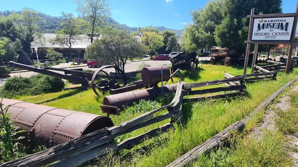
For a deeper look at the area, stop at the Mariposa Museum & History Center. The exhibits trace the town’s story from its early Gold Rush days through mining, farming, logging, ranching, and other local trades that helped shape the community.
Inside, you will find old tools, photographs, textiles, pottery, equipment, and other pieces from the past. It feels less like a quick roadside stop and more like a walk through the lives of the people who built this part of rural California.
After Mariposa, the drive brushes the outer edge of Yosemite National Park along Highway 120. From there, the route continues to Lee Vining, meets Highway 395, then heads south on Highway 158 into the June Lake area.
3. Silver Lake Café: A Cozy Road Trip Meal Stop Near June Lake

Once you reach the June Lake area, make time for a meal at Silver Lake Café. This small, friendly spot is part of Silver Lake Resort and sits beside the resort’s well-used General Store, making it an easy break between scenic drives.
The café is open for breakfast and lunch, with closing time usually at 2 p.m. That makes it a smart morning or midday stop before you head back onto the road.
The menu leans into hearty comfort food, the kind that feels right after hours of driving through mountain roads. Their giant three-egg omelets are a local favorite, and the sandwiches are just as satisfying for a quick but filling lunch.
It is the kind of place where you can sit down, refuel, and enjoy a simple meal without rushing. After a plate of warm food and maybe a little time around the resort area, you will be ready for the next stretch of this rural California route.
4. Obsidian Dome: A Volcanic Glass Stop Off Highway 395
Follow Highway 158 as it loops back to Highway 395, then continue south for a short stretch to reach Obsidian Dome. After leaving the main highway, a 2.7-mile dirt road leads to the parking area, giving this stop a rougher backroad feel before you even arrive.
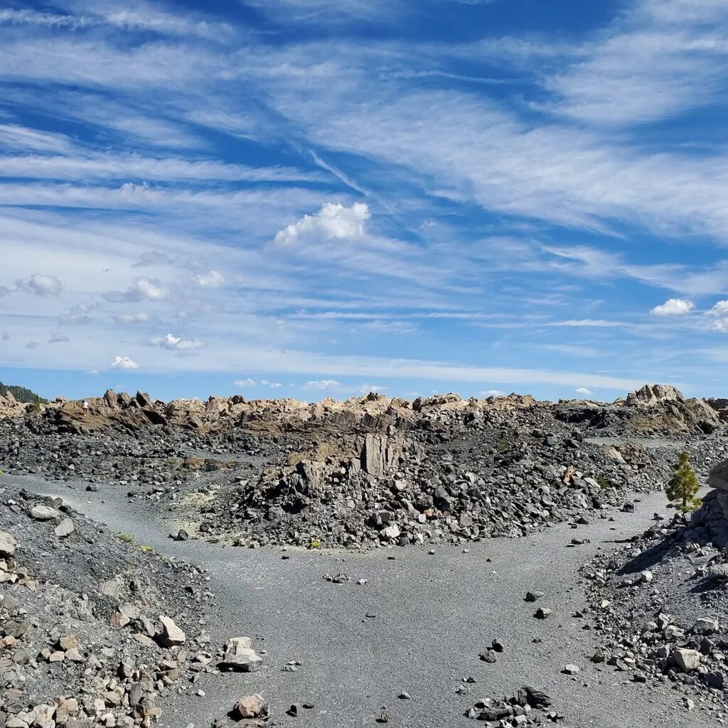
Obsidian Dome was formed by volcanic eruptions that date back to around 1350. Those eruptions pushed out magma that cooled into obsidian, a dark volcanic glass known for its glossy look and sharp edges.
Even though it is called a dome, the landform looks more like a giant mound of broken volcanic glass and rocky boulders. It feels strange, dramatic, and almost otherworldly compared with the lakes and forested roads nearby.
This glassy stone was once used by Native American groups for cutting tools and defensive weapons because of its sharp surface. Today, visitors come to see the unusual rock formations and take in the wide views from this high-elevation area.
The base of Obsidian Dome sits at roughly 8,200 feet, so the scenery feels big and open from many angles. Wear sturdy shoes, step carefully, and give yourself time to look around before heading back toward the next stretch of Highway 395.
5. Bridgeport: Hot Springs, High Desert Roads, and Old California History
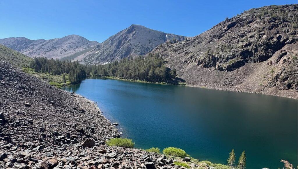
Once you return to Highway 395, the drive heads north to Bridgeport, a tiny Mono County town with just over 500 residents. It may look quiet at first glance, but this small county seat carries a surprising amount of California history.
One of its standout landmarks is the Mono County Superior Court building. It has been in continuous use since 1880, making it California’s second-oldest courthouse still serving that purpose.
Bridgeport also makes a strong stop for outdoor travelers. Hiking, camping, fishing, and backpacking are all part of the area’s appeal, especially with the Sierra Nevada and high desert scenery so close by.
For many road trippers, though, the real reward is a soak at Travertine Hot Springs. These natural geothermal pools sit outside town and offer warm mineral water with wide-open views all around.
The pools vary in temperature, often ranging from about 90 to 120 degrees depending on the season and water flow. Some people believe the springs have healing qualities, but even without that claim, the stop feels deeply refreshing after hours on the road.
Bridgeport proves that the quieter roads can hold just as much wonder as California’s famous city stops. If you want a Northern California road trip with old buildings, mountain air, hot springs, and small-town character, this route is worth saving.
Sometimes the less crowded road gives you the better story.
You may also like :