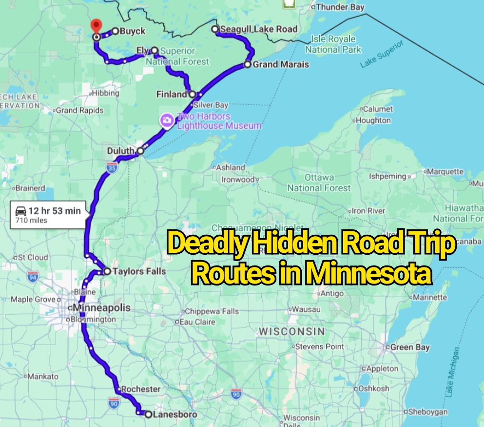
Minnesota road trips are often sold as calm escapes filled with lakes, pine forests, and quiet scenic highways. That image is accurate, but it leaves out an important part of the story. Some of the state’s most beautiful drives also pass through remote forests, sharp curves, wildlife corridors, exposed ridges, and areas where help may be many miles away.
These roads are not officially ranked as Minnesota’s deadliest routes. Still, local drivers know that isolation, winter weather, poor visibility, and animal crossings can turn a peaceful drive into a demanding one. The danger often comes from drivers feeling too relaxed rather than from the road itself.
That contrast is what makes these Minnesota road trip routes worth understanding. They are striking, rewarding, and memorable, but they deserve far more respect than their postcard appearance suggests.
Echo Trail Between Ely and Orr
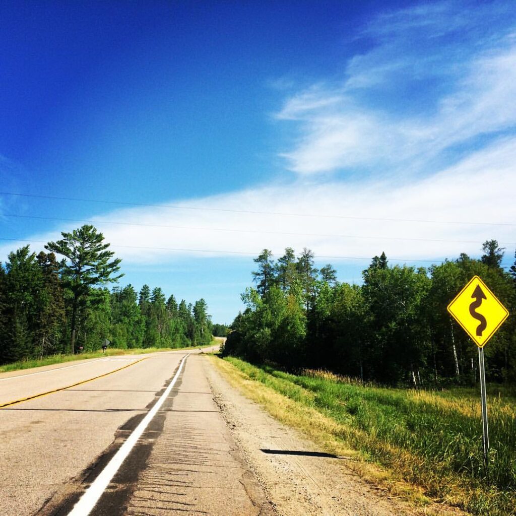
Echo Trail looks like the sort of road where traffic problems barely exist. The route runs through the Superior National Forest, passing lakes, marshes, cabins, and thick stretches of woodland. Long portions feel far removed from towns, gas stations, repair shops, and reliable phone service.
The road includes paved and gravel sections, along with hills, narrow bends, and limited sightlines. Moose and deer can step onto the road without much warning, especially early in the morning or near sunset. Drivers who move too quickly may have little time to react.
The real risk is its quiet character. A driver may go several miles without seeing another vehicle and begin treating the road casually. Locals tend to keep their speed controlled, carry basic supplies, and avoid relying on a phone as their only emergency option.
Minnesota Highway 1 From Ely to Lake Superior
Highway 1 between Ely and the North Shore is one of Minnesota’s most dramatic forest drives. It twists past lakes, rocky slopes, wetlands, and dense trees before reaching the Lake Superior region near Tettegouche State Park.
Unlike broad highways built for quick travel, this road repeatedly changes direction. Curves appear close together, passing zones can be limited, and wildlife activity is common. Moose, deer, and smaller animals may cross during hours when visibility is already poor.
Winter adds another layer of concern. Snow can cover lane markings, ice may form on shaded sections, and darkness arrives early. The drive rewards patience, yet drivers attempting to rush from Ely to the shore may find the route far less forgiving than expected.
Gunflint Trail From Grand Marais to Seagull Lake
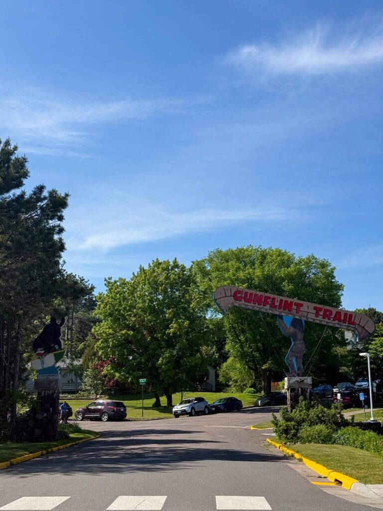
The Gunflint Trail begins in Grand Marais and stretches deep into northeastern Minnesota. The paved road passes lakes, lodges, campgrounds, and forestland before ending near the Boundary Waters Canoe Area Wilderness.
Its reputation as a peaceful vacation road can cause visitors to underestimate the distance and isolation. There are no major towns along most of the route, and services become fewer as drivers move farther from Grand Marais. Wildlife sightings are common, but an animal on the pavement is much harder to appreciate from a moving car.
Snow, fog, rain, and darkness can change the drive quickly. Bends and rolling terrain may hide vehicles, cyclists, or animals ahead. Locals often fill their fuel tank before leaving town and allow far more travel time than the mileage might suggest.
North Shore Scenic Drive Along Lake Superior
The North Shore Scenic Drive is one of Minnesota’s best-known road trips, so calling it hidden may sound strange. The overlooked danger is not the route’s location but the hazards concealed by its popularity and beauty.
Highway 61 runs beside Lake Superior through cliff areas, small towns, state park entrances, waterfalls, and busy roadside pullouts. Drivers frequently slow suddenly after spotting a viewpoint or parking entrance. Others become distracted by the lake while traffic continues moving around them.
Weather from Lake Superior can also reduce visibility with fog, snow, and blowing spray. Tourist traffic peaks during summer and fall, creating a mix of cars, motorcycles, cyclists, and pedestrians. The road is generally manageable, but it becomes risky when drivers treat the scenery as more important than the traffic ahead.
Superior National Forest Scenic Byway
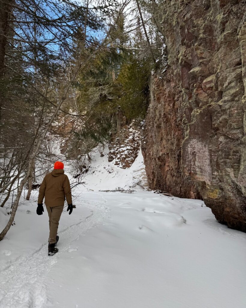
The Superior National Forest Scenic Byway crosses roughly 54 miles of forest between the Silver Bay area and Aurora. It passes lakes, rocky ground, wetlands, and broad sections of woodland with few commercial stops.
The drive feels open and restful, yet its distance from major communities can create problems after a breakdown or weather shift. Mobile coverage may be inconsistent in remote areas, and nighttime driving brings a greater chance of wildlife encounters.
During winter, road surfaces can remain icy where trees block sunlight. Summer drivers face a different concern as logging vehicles, recreational traffic, and animals share the same corridor. The route rarely feels threatening, which is exactly why careless speed can become such a problem.
Edge of the Wilderness Scenic Byway
Minnesota Highway 38 connects Grand Rapids with Effie through the Chippewa National Forest. Known as the Edge of the Wilderness Scenic Byway, the road passes lakes, bogs, wooded slopes, and small northern communities.
The route has been improved over the years, but it still includes rolling terrain and curved sections where drivers cannot always see what lies ahead. Deer and other animals frequently move near the road, particularly during the morning and evening.
Fall color season brings heavier traffic and more sudden stops near viewpoints. Snow and rain can make shaded pavement slippery, while fog may reduce sight distance near wetlands. The road is not dangerous because it is poorly built; it becomes dangerous when motorists assume a scenic byway requires less attention.
St. Croix Scenic Byway and Highway 95
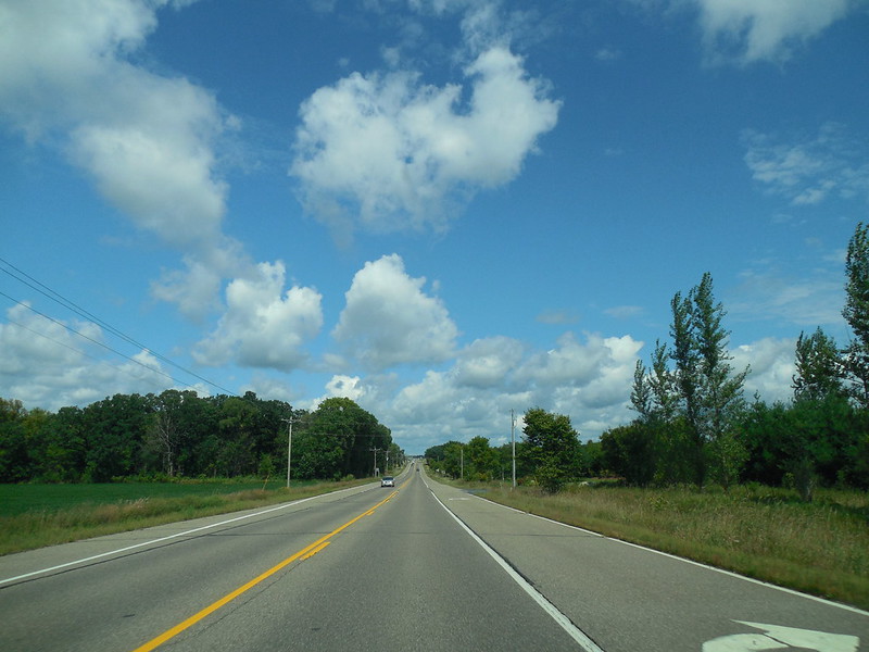
The St. Croix Scenic Byway follows portions of eastern Minnesota near the Wisconsin border. One of its most popular stretches runs along Highway 95 through communities such as Afton, Stillwater, Marine on St. Croix, and Taylors Falls.
River bluffs and wooded hills create an attractive drive, but the road also includes curves, changing elevations, busy intersections, and park entrances. During autumn, traffic increases as visitors stop for overlooks, hiking areas, and small-town attractions.
Cyclists and motorcycles are common on warmer days, creating another reason to avoid cutting corners or drifting toward the shoulder. The route can feel rural in one moment and crowded in the next, making steady attention more important than many first-time visitors expect.
Historic Bluff Country Scenic Byway
Minnesota Highway 16 passes through southeastern Minnesota along the Historic Bluff Country Scenic Byway. The landscape differs sharply from the flat farmland many travelers associate with the state.
Tall bluffs, narrow valleys, river crossings, wooded slopes, and small towns shape this route. Curves may block views of farm vehicles, cyclists, wildlife, or traffic entering from side roads. Morning fog can settle near rivers and low areas, reducing visibility.
Deer activity is especially important during autumn. Drivers unfamiliar with the road may also misjudge curves after long straight sections. The drive feels gentle at a slower pace, but aggressive passing or late braking can make the bluff country much less forgiving.
Avenue of Pines Scenic Byway
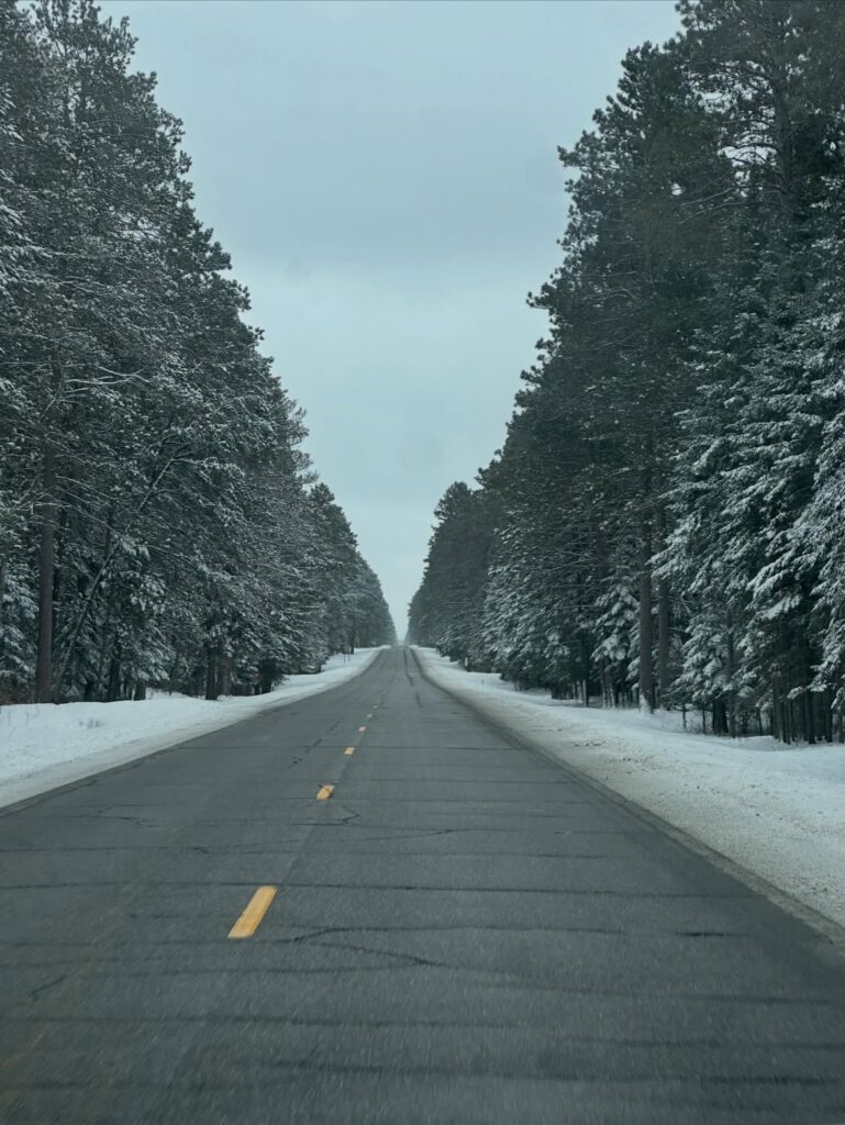
The Avenue of Pines Scenic Byway follows Minnesota Highway 46 between Deer River and Northome. Tall pine forests, wetlands, and lakes give the route a deeply rural atmosphere.
That same landscape limits visibility along many sections. Animals can emerge from the trees with little warning, and shaded pavement may remain slick after frost or snowfall. Night driving increases the risk because much of the corridor has limited roadside lighting.
The long, quiet stretches can also encourage drivers to increase their speed without noticing. Locals understand that low traffic does not mean low risk. A road can feel empty while still placing a vehicle far from quick assistance after a crash or mechanical failure.
New Tomahawk Road Near Babbitt
New Tomahawk Road near Babbitt receives far less attention than Minnesota’s major scenic byways. It travels through remote Northwoods terrain where lakes, forest, and wildlife dominate the surroundings.
Traffic is often light, but that does not remove the hazards. Animals may cross unexpectedly, roadside lighting is limited, and changing weather can affect the surface. Drivers may also encounter fewer businesses or homes than expected.
This is the kind of route that feels safest when traveled during daylight at a moderate speed. The scenery may invite a relaxed approach, but the distance from immediate help means small mistakes can carry larger consequences.
Why Minnesota’s Quiet Roads Can Be the Most Misleading
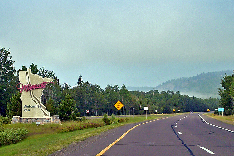
The most dangerous Minnesota road trips are not always the busiest highways or the roads with the most dramatic warning signs. Some of the greatest risks appear on routes that feel peaceful, empty, and easy.
Remote roads reduce the margin for error. A wildlife collision, flat tire, mechanical problem, or slide on ice may happen far from services. Weather can shift quickly in northern Minnesota, and lake-effect fog or snow may appear even when conditions seemed manageable earlier.
The contrarian truth is simple: beautiful scenery does not automatically mean an easy drive. Minnesota’s forest roads and scenic byways are best enjoyed by drivers who slow down, watch the road closely, and prepare for conditions that may change without much notice.
Staying Safer on Minnesota Road Trips
Checking Minnesota 511 before leaving can help travelers review construction, closures, crashes, and winter road conditions. This matters most on northern routes where detours may add considerable time.
A full fuel tank, warm clothing, drinking water, a charged phone, and an offline map can make a remote drive less stressful. During winter, extra blankets and basic emergency supplies are sensible additions.
Drivers should reduce speed near curves, wetlands, forest edges, and areas with wildlife warning signs. Cruise control is best avoided on snow or ice, and extra distance should be left behind snowplows and other vehicles. Minnesota’s hidden road trips remain worth taking, but they are far better when caution travels in the passenger seat.
You may also like :