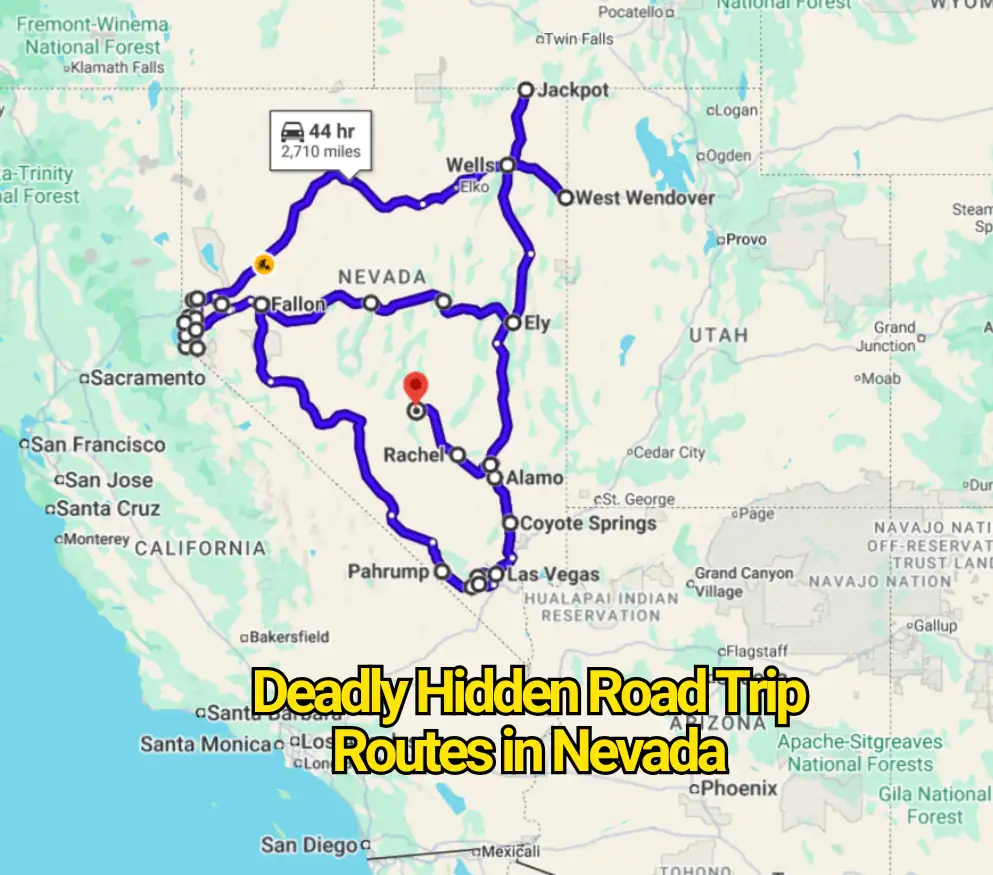
Nevada’s most threatening roads rarely look threatening at first. Many appear almost empty, stretching across open desert beneath enormous skies. Others climb toward Lake Tahoe through forests, snow zones, and steep mountain passes. That calm appearance can persuade drivers to relax at exactly the wrong moment.
The headline may sound severe, but this is not an official ranking of Nevada’s deadliest highways. NDOT’s public crash map is temporarily unavailable while the agency prepares updated 2020–2024 data. The roads below were chosen because official transportation studies, construction projects, and safety warnings identify crash patterns, wildlife conflicts, crosswinds, winter controls, erosion, or other documented concerns.
Nevada’s rural highways carry another overlooked threat. NDOT says lane-departure and head-on collisions are among the most fatal crash types on rural roads. Long gaps between towns, high travel speeds, fatigue, sudden weather shifts, and limited passing opportunities can turn an ordinary mistake into a major emergency.
State Route 160 Between Las Vegas and Pahrump
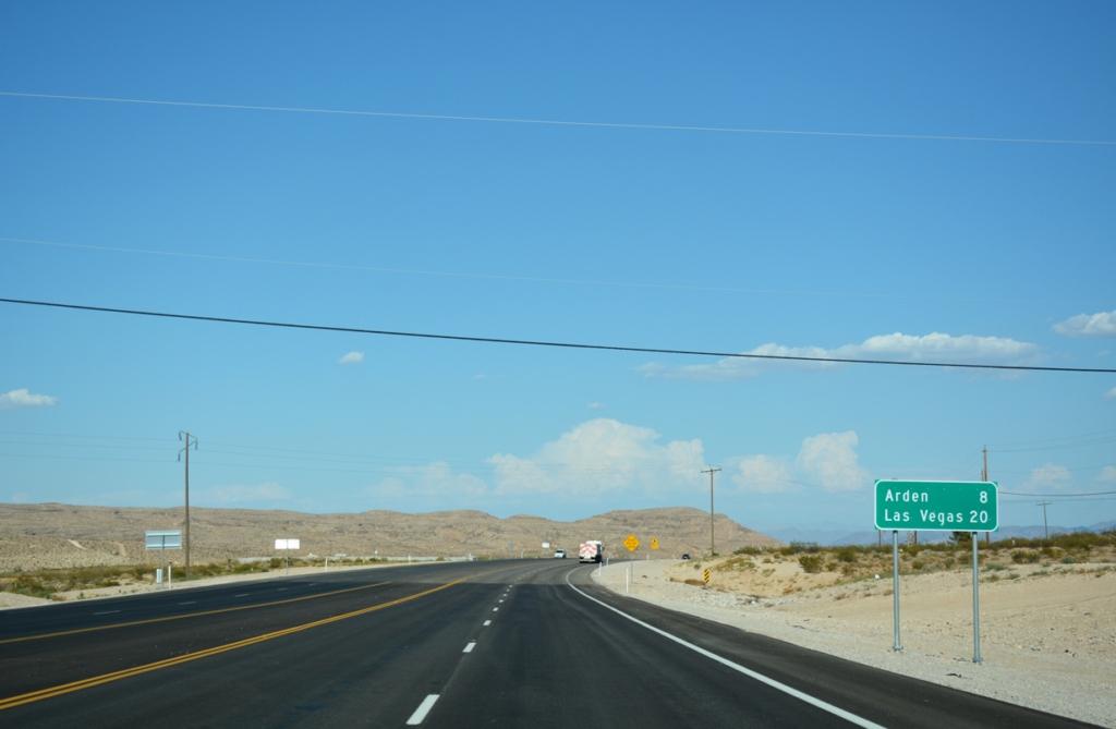
State Route 160 can feel like a simple desert transfer between Las Vegas and Pahrump. The road is far busier and more demanding than that description suggests. It rises through the Spring Mountains, crosses the Mountain Springs area, and drops into the Pahrump Valley. Fast commuters, tourists, motorcycles, recreational vehicles, and heavy trucks may occupy the corridor at the same time.
Mountain grades create large speed differences between vehicles. A passenger car may approach a slower truck quickly, while impatient drivers can become tempted to change lanes or pass. Wind, glare, darkness, and sudden congestion near intersections add further pressure.
NDOT studied about 70 miles of SR 160 between Las Vegas Boulevard and Roadrunner Road in Pahrump. The agency reviewed five years of crash records, traffic volumes, roadway layout, land use, and future traffic demand while preparing safety and mobility recommendations. That level of examination shows why drivers should treat the corridor as a serious highway rather than a casual scenic shortcut.
U.S. Route 50 Between Fallon and Ely
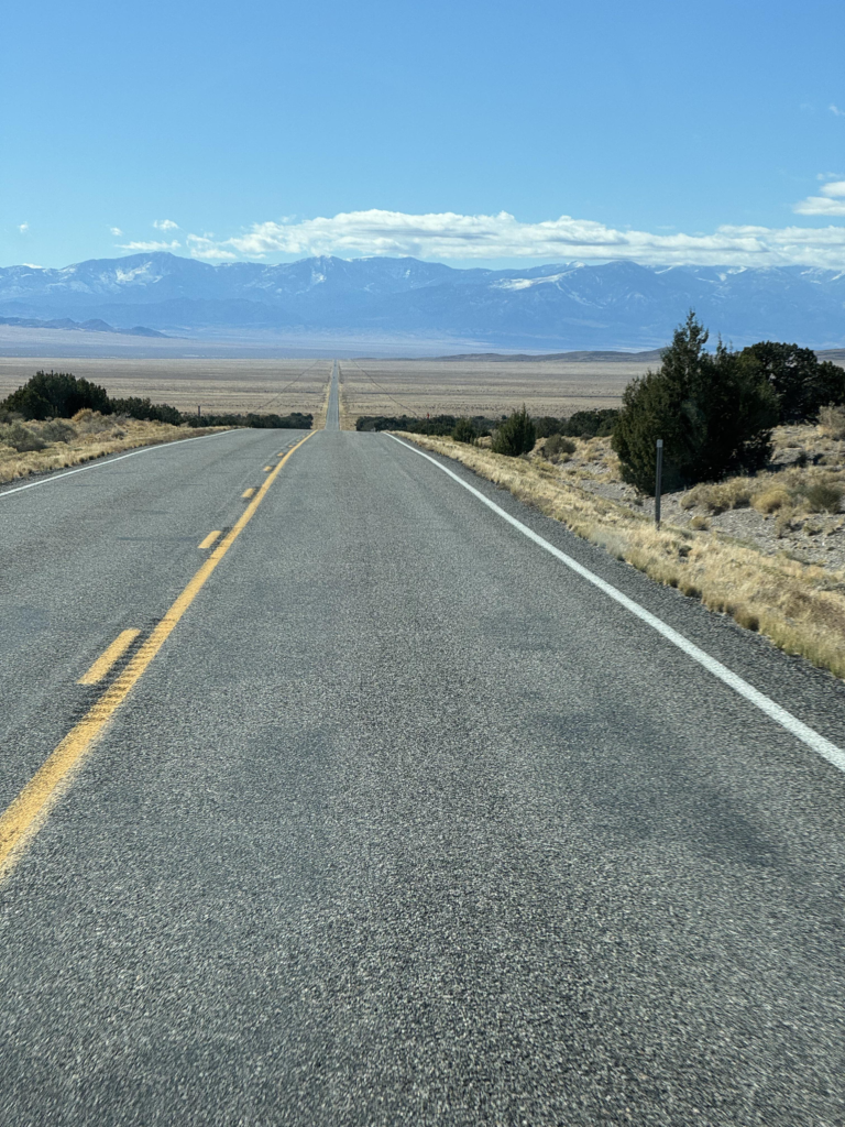
The Loneliest Road in America sells freedom, silence, and endless desert. Those qualities also form its central risk. Between Fallon, Austin, Eureka, and Ely, drivers encounter long spaces with few communities, wide valleys, mountain summits, open-range country, and sections where help may be far away.
Fatigue often arrives quietly on this road. Straight sections can encourage drivers to maintain high speeds, yet the highway repeatedly climbs into mountain terrain where bends, grades, wildlife, ice, or slower vehicles appear. Fuel planning also matters because services are concentrated in small towns rather than spread evenly across the route.
Travel Nevada describes the broader Highway 50 trip as roughly 375 to 500 miles, depending on the chosen itinerary. The state’s tourism guidance still presents the road through Fallon, Austin, Eureka, and Ely as an exceptionally wide-open journey. The old warning that travelers should carry water and cold-weather supplies was partly marketing, but the preparation remains sensible.
U.S. Route 50 From Spooner Summit to Stateline
U.S. 50 changes personality near Lake Tahoe. The empty central-Nevada highway becomes a busy mountain corridor carrying residents, casino traffic, delivery vehicles, and visitors unfamiliar with the road. Views of the lake can also pull attention away from curves and surrounding traffic.
NDOT is resurfacing slightly more than 13 miles between Spooner Summit and the California border at Stateline. Between Spooner Summit and Glenbrook, the project includes wider visual separation between opposing traffic and centerline rumble strips intended to reduce head-on and crossover crashes. Guardrail and barrier work is also included.
About 26,000 vehicles use this stretch on an average day. That volume matters because a minor drift across the centerline can place a vehicle directly in opposing traffic. Snow removal, roadside walls, changing elevation, congestion, and shaded winter pavement make the route far less forgiving than its lake views imply.
State Route 431 Over Mount Rose
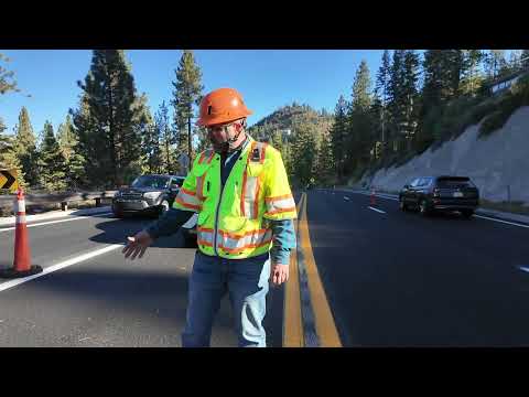
Mount Rose Highway connects south Reno with Incline Village by climbing over one of Nevada’s highest highway passes. The road packs steep grades, sweeping bends, high elevation, winter storms, and sharp differences between dry lower sections and snowy summit conditions into a relatively short drive.
NDOT’s corridor work identified rising speeds, development pressure, and safety concerns along parts of SR 431. The agency has also included Mount Rose Highway among roads where traction or chain restrictions may be imposed during winter weather.
The descent deserves as much attention as the climb. During earlier construction, NDOT restricted certain heavy commercial trucks from traveling westbound because of the risk of braking trouble while coming down the mountain through the work zone. That temporary order has expired, but it illustrates the strain that the grade can place on heavy vehicles.
State Route 207 Along Kingsbury Grade
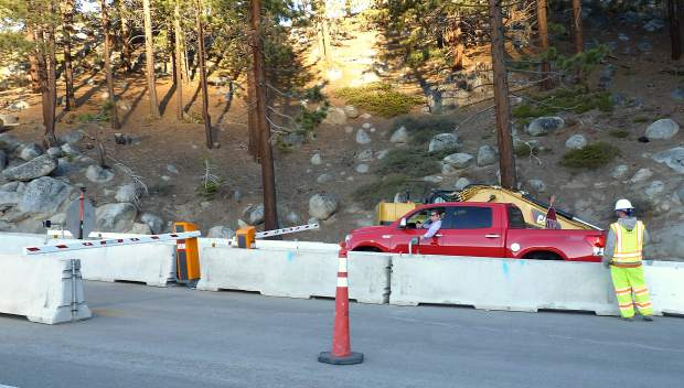
Kingsbury Grade is one of the fastest links between Carson Valley and the southern Lake Tahoe area. It is also a steep mountain road with tight turns, drop-offs, winter exposure, drainage channels, and limited room for mistakes.
The route’s trouble is not limited to snow. In 2017, flood-related erosion damaged the highway after a drainage failure produced a sinkhole. Repairs required crews to excavate roughly 150 feet across and 50 feet below the road surface before rebuilding the affected section. NDOT reported that around 5,600 vehicles used the road each day at that time.
Kingsbury Grade can be dry in Carson Valley while its upper sections face snow, ice, fog, or runoff. Drivers who begin the climb in mild conditions may reach a very different road near Daggett Summit. Coming downhill too quickly can overwork brakes and leave little space to react to a stopped vehicle or icy bend.
U.S. Route 395 Through Washoe Valley
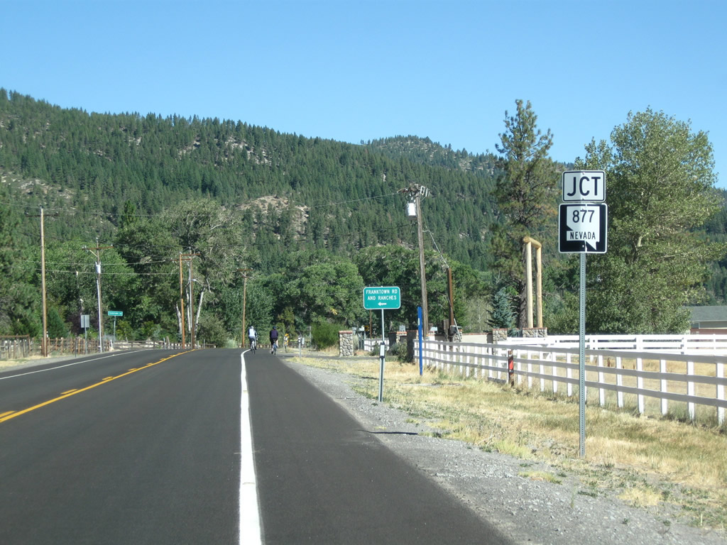
Washoe Valley looks open and uncomplicated from the driver’s seat. Its broad terrain, however, allows powerful crosswinds to sweep across U.S. 395 with little warning. Dust, loose material, and sudden gusts can affect visibility and vehicle stability.
High-profile vehicles face the greatest trouble, but ordinary cars are not immune. A gust can push a vehicle across its lane, especially when the driver is passing a truck, leaving a sheltered section, or reacting too sharply. NDOT specifically names the U.S. 395 corridor through Washoe and Pleasant valleys in its high-wind driving guidance.
Farther north, NDOT installed advisory signs that begin flashing when gusts reach 45 mph or higher, warning drivers of tall vehicles about hazardous wind conditions. The technology confirms that wind on this highway is a measured transportation concern, not merely uncomfortable weather.
State Route 28 Along Lake Tahoe’s East Shore
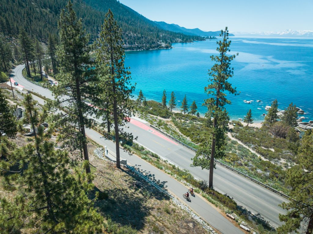
State Route 28 carries drivers past some of Lake Tahoe’s best-known shoreline access points. The road is narrow in places, bordered by rock, forest, steep slopes, parking areas, beaches, trail access, cyclists, and people crossing from roadside vehicles.
The core problem is competition for limited space. NDOT reported that more than 2.5 million vehicles used SR 28 annually while as many as 2,000 pedestrians and cyclists could gather beside the highway on peak recreation days. Those conditions produced serious safety and access concerns that led to new paths, parking facilities, drainage work, retaining structures, and bridges.
A driver watching for an open parking space may miss a cyclist. Someone leaving a beach may step toward the road from between parked vehicles. Traffic can slow abruptly near Sand Harbor, particularly during summer weekends. The corridor’s beauty is part of the hazard because many people are looking everywhere except directly ahead.
Interstate 80 From Sparks to USA Parkway
This section of Interstate 80 may not feel hidden, yet its danger receives less attention than Nevada’s mountain passes. The corridor carries commuters, industrial traffic, warehouse employees, commercial trucks, and long-distance travelers through rapidly developing areas east of Sparks.
NDOT states that crash rates between Vista Boulevard and USA Parkway are higher than those on other urban and rural interstates in Nevada. The agency also identifies unpredictable delays caused by crashes and weather as reasons for widening and safety work. Proposed improvements include wider shoulders, median barriers, and wrong-way driver detection.
The road’s broad appearance can encourage speed, while congestion may build suddenly near interchanges. Strong winds, truck traffic, merging vehicles, and low sun can make a routine freeway drive feel unstable within minutes. The chief mistake is assuming that a straight interstate is automatically safer than a winding mountain road.
Interstate 80 Between Wells and West Wendover
The eastern Nevada stretch of I-80 crosses broad, lightly populated terrain where wildlife migration intersects high-speed travel. Drivers may spend long periods seeing little roadside activity, then encounter animals near the pavement with very little reaction time.
NDOT and the Nevada Department of Wildlife identified northeastern corridors with substantial animal-collision concerns. Nine wildlife crossings were installed across I-80 between Wells and West Wendover and along U.S. 93 north of Wells. Fencing helps guide animals toward those crossings, but NDOT warns that the structures cannot prevent every roadway encounter.
Night travel raises the pressure because an animal may not become visible until it enters the headlight beam. Swerving can be as dangerous as the collision itself, particularly at interstate speeds. Winter weather, fatigue, and long distances between major service centers make preparation more important on this section.
U.S. Route 93 North of Wells
North of Wells, U.S. 93 cuts through a major mule-deer migration area. This is not a rare or theoretical wildlife movement. University of Nevada, Reno research found that more than 35,000 mule deer used the safety crossings during the first four years after the U.S. 93 structures were installed.
That figure explains why motorists should reduce speed when visibility falls, even where fencing is present. Deer movement can be concentrated during seasonal migration, and one animal may be followed by several more.
The route continues toward Jackpot near the Idaho border, passing through sparsely populated country. Drivers who become tired may have few convenient places to stop outside established communities. The apparent emptiness can lower attention just as wildlife activity increases.
U.S. Route 93 Near Coyote Springs
U.S. 93 near Coyote Springs presents a different wildlife problem. Mojave desert tortoises and other desert animals cross a highway carrying fast-moving traffic between Clark and Lincoln counties.
In 2025, NDOT received federal funding for a proposed 34-mile wildlife project that would add 61 underpasses and 68 miles of exclusion fencing. The work is intended to lower wildlife collisions and protect desert tortoises from road mortality. Construction had no announced start date when NDOT published the project details.
That final point matters. Drivers should not assume the planned barriers already protect the entire corridor. Desert tortoises are low to the ground and difficult to see at speed, while larger animals may also enter the road. Heat shimmer, glare, darkness, and long straightaways can make the highway deceptively demanding.
State Route 159 Through Red Rock Canyon
State Route 159 attracts sightseeing traffic, cyclists, hikers, tour vehicles, and drivers moving between the Las Vegas Valley and Blue Diamond. The road feels slower and calmer than a freeway, but mixed road use produces its own risks.
A driver may come around a bend and meet a cyclist, a stopped vehicle, or traffic turning toward a trailhead. Sunset and late-afternoon light can reduce visibility, while visitors may brake abruptly after spotting an overlook or roadside formation.
NDOT included approximately 16 miles of SR 159 in its combined SR 160 and SR 159 corridor study. The agency reviewed five years of crash information, traffic counts, road configuration, land use, and multimodal travel before preparing future recommendations.
State Route 375 Across the Extraterrestrial Highway
State Route 375 may be Nevada’s most heavily marketed empty road. The alien theme makes it feel playful, yet the practical challenge is isolation. Travel Nevada says some parts of the corridor receive fewer than 200 vehicles per day. It also advises drivers to refuel around Alamo or Ash Springs because the next fuel opportunity near Rachel can be about 52 miles away.
A breakdown here may involve a long wait. Mobile service can be unreliable, nighttime darkness is intense, and animals may appear on the pavement. Drivers distracted by roadside signs, photography stops, or attempts to locate Area 51 access roads can drift from the legal highway.
The safer interpretation of the alien-road theme is simple: remain on public roads, respect all posted military boundaries, carry water, and start with enough fuel. The real threat is not something in the sky. It is distance, speed, fatigue, and poor preparation.
Why Nevada’s Calmest Roads Can Become Its Most Dangerous
Nevada rarely announces danger with constant traffic or obvious chaos. A road may remain quiet for an hour before presenting ice, an animal, a crosswind, a slow truck, or an approaching vehicle during an unsafe pass.
The most useful habit is checking conditions shortly before departure. NDOT directs travelers to Nevada 511 for current incidents, closures, chain controls, weather information, and traffic cameras. Conditions may change quickly, especially around Lake Tahoe and northern Nevada.
Carry drinking water, begin remote stretches with adequate fuel, avoid driving while tired, and allow extra time. On mountain descents, control speed before entering a curve rather than braking hard inside it. On empty highways, resist the false comfort of open pavement. Nevada’s distance from everything is the attraction, but it is also the part that demands respect.