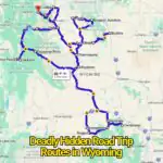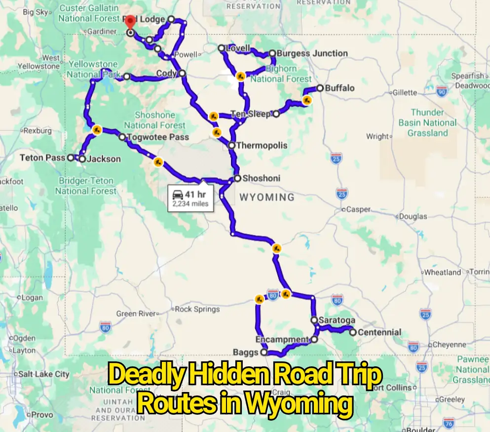
Wyoming sells the fantasy of empty pavement, mountain horizons, and a windshield free of traffic. That image is real, but it leaves out the part experienced drivers understand: isolation can turn a minor mistake into a serious emergency. A sunny valley can sit only a few miles from blowing snow, loose rock, black ice, or a descent hard enough to overheat brakes.
The word “deadly” needs care. This article does not claim these corridors hold an official ranking based on statewide crash statistics. They appear here because transportation agencies document steep grades, avalanche exposure, seasonal closures, unstable slopes, serious crash histories, and fast-changing conditions. The danger is less cinematic than the title suggests. It often begins with ordinary speed, poor timing, worn tires, or faith in a navigation app that cannot see the weather ahead.
Teton Pass on Wyoming Highway 22
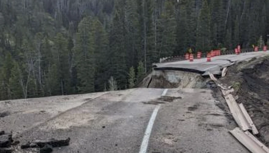
Teton Pass looks like a quick mountain shortcut between Jackson and the Idaho side of the Tetons. That is exactly why visitors can underestimate it. WYDOT says the pass was built with a 10 percent grade, while a more typical safe design grade for most vehicles is about 5 to 6 percent. The steep approach extends for more than five miles above Wilson, creating a long descent where brake trouble can become critical. WYDOT also notes that crashes continue despite added safety devices.
Winter adds another layer. Avalanche paths above the highway are active enough that WYDOT maintains remote systems that trigger controlled slides before unstable snow releases without warning. In June 2024, part of the pass failed after a landslide, a sharp reminder that the mountain itself can disrupt the corridor. This is not a drive to rush because traffic is building behind you. Select a lower gear before the descent, leave a broad following gap, and check Wyoming 511 before departing.
Beartooth Highway on U.S. Route 212
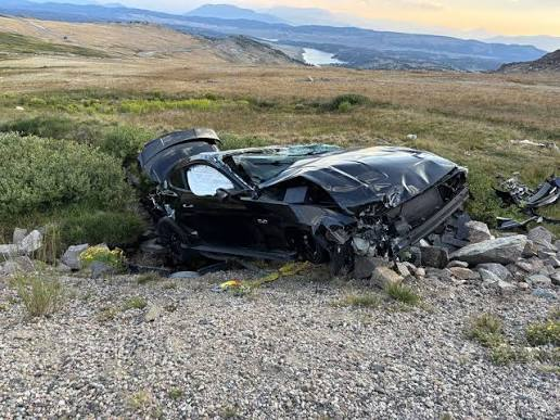
Beartooth Highway is often sold as a bucket-list drive, and the scenery deserves the praise. The problem is that the marketing can make it sound like a relaxed sightseeing loop. In reality, this is a high-elevation seasonal highway where winter conditions can return during months many travelers consider summer. The National Park Service says temporary restrictions or closures may happen at any time after the road opens, sometimes without advance notice.
The Wyoming portion opened for the 2026 season in late May only after a winter storm delayed the planned opening. That detail captures the pass better than any postcard. Clear pavement at lower elevation says little about the summit. Drivers may meet fog, freezing surfaces, sharp temperature drops, and limited places to turn around. Fuel up before the climb and treat every closure gate as a warning rather than an inconvenience.
Snowy Range Scenic Byway on Wyoming Highway 130
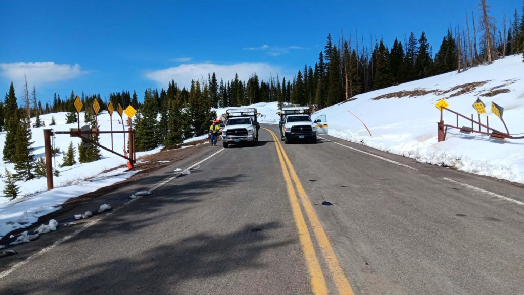
Highway 130 rises above 10,800 feet through the Snowy Range, where the treeless upper section feels open and harmless on a warm afternoon. The elevation changes the equation. Cold air, lingering snow, and rapid weather shifts can reach the pavement long before conditions look severe in Laramie or Saratoga. WYDOT closes the high section each winter because deep accumulation and low seasonal traffic make continued plowing impractical.
Crews began clearing the 12-mile seasonal section in mid-April before reopening it on May 7, 2026. Rotary plows were needed to cut through large drifts. That work explains why a calendar date should never replace a road-status check. Even while open, the byway demands slower cornering near shaded patches, restraint around roadside wildlife, and enough daylight to avoid finishing the pass after temperatures fall.
Battle Pass Scenic Byway on Wyoming Highway 70
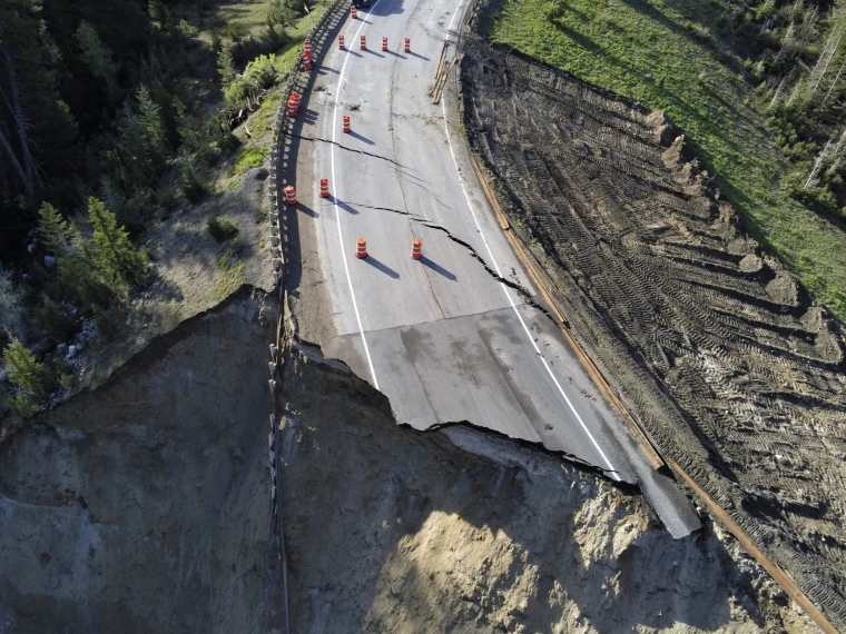
Battle Pass between Encampment and Baggs has the feel of a forgotten back route. Traffic can be light, services are limited, and the forest can hide how high the road has climbed. That quiet is part of its appeal, yet it also means help may be farther away than expected when a tire fails or weather shuts down the pass.
WYDOT seasonally closes a 23-mile section of Highway 70 and uses rotary plows and heavy equipment to clear large snowdrifts before reopening. The closure pattern is a plain warning about exposure: this is not a reliable winter shortcut. During the open season, carry extra water, begin with a full tank, and avoid assuming that a weak mobile signal will improve around the next bend.
Medicine Wheel Passage on U.S. Route 14A
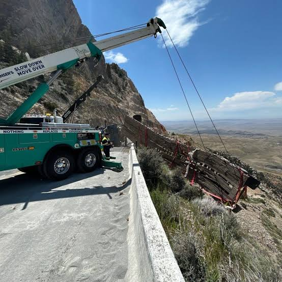
U.S. 14A over the Bighorn Mountains is one of the clearest examples of a scenic drive hiding serious mechanical strain. WYDOT describes the passage as a steep, winding, two-lane highway with truck turnouts and a maximum grade of about 10 percent. Heavy snow keeps the route closed through winter and early spring, and the state closes a 22-mile section at the end of the fall travel season.
The steep western side near Lovell can punish brakes, especially when a driver stays on the pedal for mile after mile. Large recreational vehicles and trailers need greater spacing and lower gears before the descent begins. Pullouts should be used to let faster traffic pass, yet they are not substitutes for cooling brakes after warning signs appear. Mountain weather can also produce snow during any month, so a summer date does not cancel the need for caution.
Wind River Canyon Scenic Byway on U.S. 20 and Wyoming 789
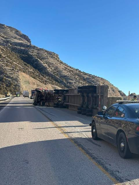
Wind River Canyon feels enclosed rather than exposed. The highway shares a tight corridor with the river, steep rock walls, tunnels, and a rail line. WYDOT’s current planning work identifies a narrow highway footprint, horizontal curves, tunnel restrictions, and several geotechnical problems. The agency also reports a high crash history in the corridor.
That combination leaves little room for sloppy lane position or distracted sightseeing. Rockfall and slope movement can create debris, while curves shorten the distance available to react to stopped traffic. The contrarian truth is that the canyon is safer when enjoyed slowly. Scenic pullouts exist for viewing; the travel lane is not one. Headlights, firm lane discipline, and patience behind slower vehicles matter far more than saving a few minutes between Shoshoni and Thermopolis.
Buffalo Bill–Yellowstone Scenic Byway on U.S. 14, 16 and 20
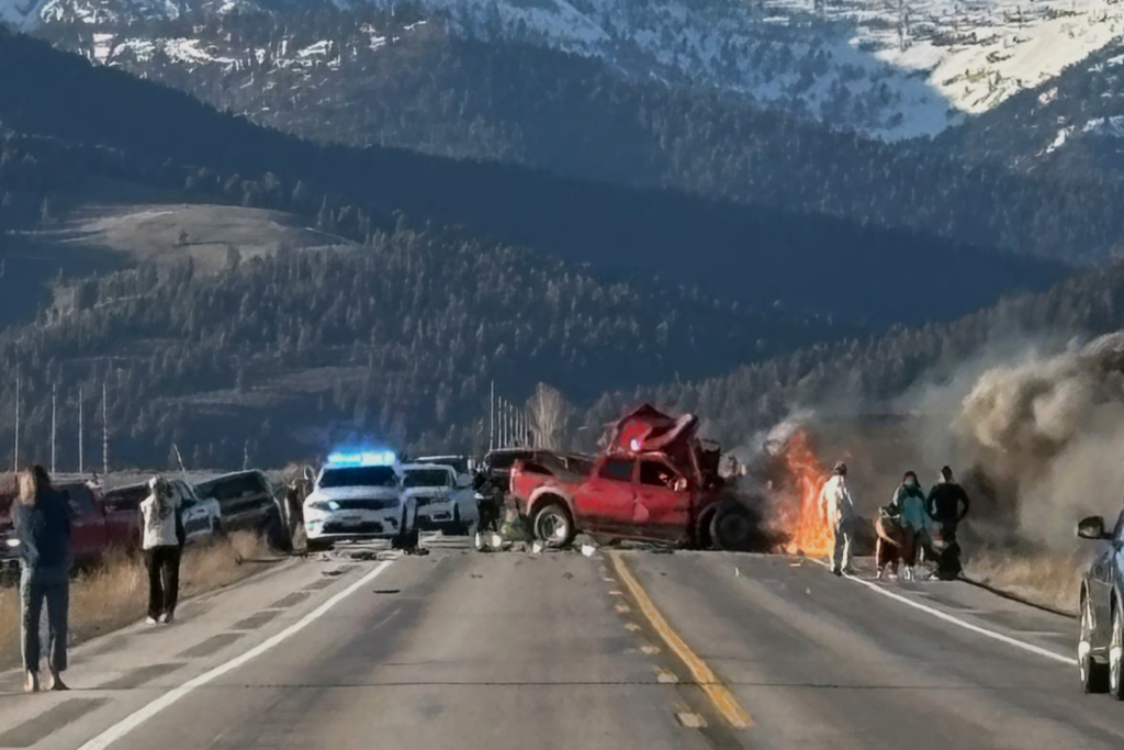
The western drive from Cody follows the North Fork of the Shoshone River through cliffs and tunnels before reaching Yellowstone’s East Entrance. It is easy to focus on the formations and miss the more immediate hazard above the windshield. WYDOT geologists have identified unstable rock along U.S. 14/16/20 west of Cody and have warned motorists about falling stones and debris lying on the highway.
Freeze-thaw cycles, runoff, and storms can loosen material long after the rain or snow has ended. A clean lane at one bend does not promise a clean lane at the next. Avoid stopping beneath rock walls outside marked areas, watch for fresh fragments near the shoulder, and give maintenance crews a wide buffer. The route is famous, but parts of its risk remain almost invisible until something has already reached the pavement.
Togwotee Pass on U.S. 26 and U.S. 287
Togwotee Pass crosses the Continental Divide at 9,658 feet between Dubois and the Jackson Hole region. WYDOT’s winter-driving guide says snow remains on the roadway through much of winter and advises drivers to slow down and stay alert. Wildlife may also gather near warmer pavement, adding an unpredictable obstacle during darkness and poor visibility.
The pass can feel forgiving because many stretches are broader than the tightest roads on this page. That extra space can invite speed, especially after a driver has spent hours on open highway. Yet elevation, wind-driven snow, glare, and long distances between services can magnify a small error. Check fuel range in Dubois or Jackson rather than waiting for the dashboard warning light, and expect conditions near the divide to differ from both ends of the trip.
Powder River Pass on U.S. Route 16
U.S. 16 between Buffalo and Ten Sleep crosses the Bighorn Mountains by way of Powder River Pass. Compared with U.S. 14A, this crossing has gentler maximum grades, but that does not make it harmless. WYDOT notes that mountain weather in the Bighorns can be severe and that snow may fall during any month at these elevations. Delays and temporary closures are common concerns during winter and early spring.
The eastern and western approaches contain long climbs, broad curves, and stretches where changing light can hide ice or wildlife. Drivers often relax because the highway feels more engineered than a narrow cliff road. That comfort can become overconfidence. Keep speed below the point where every curve requires hard braking, and remember that a storm crossing the plateau may erase visibility faster than it changes conditions in Buffalo or Ten Sleep.
Chief Joseph Scenic Byway on Wyoming Highway 296
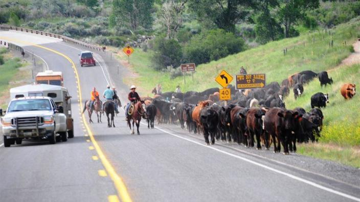
Chief Joseph Scenic Byway climbs from the Cody region through Sunlight Basin before meeting U.S. 212 near the Yellowstone area. Its broad views can make the road appear less severe than it is. WYDOT’s resilience planning identifies rockfall linked to runoff, freeze-thaw action, and seismic activity as a concern along the highway.
Seasonal access also causes confusion. The National Park Service says Highway 296 is open year-round from Wyoming 120 to the Pilot Creek parking area, but the connection closer to Cooke City includes a winter segment closed to wheeled vehicles. In 2026, the high-elevation connection was scheduled under seasonal travel dates, with closures still subject to weather. A navigation app may show a continuous line while a gate says otherwise, so current agency information must win every argument.
Why Wyoming’s quiet roads catch visitors off guard

The most dangerous feature shared by these routes is not a hairpin bend. It is false reassurance. Low traffic can encourage higher speed. Wide views can pull attention from the lane. A warm town can convince travelers that a high pass will also be dry. Mobile directions can present a seasonal highway as though access were guaranteed.
WYDOT states that Wyoming 511 is its authoritative source for current road conditions, closures, advisories, and restrictions. Check it before leaving and again near the final service town. A paper map, warm clothing, food, water, and a charged phone remain sensible even on a summer trip. These precautions are ordinary, which is precisely why they work.