Most people assume Alabama’s highways are just long, quiet stretches connecting small towns and farmland—but that assumption misses the real story. Across the state, there are roads where the danger isn’t obvious at first glance. They look like ordinary scenic drives or standard highways, yet they carry a history shaped by rural geography, fast-moving traffic, limited visibility, and long response times when accidents happen.
According to national crash safety data, rural roads across the United States consistently show higher fatality rates than urban roads, even though they carry far less traffic. In Alabama, this pattern becomes more noticeable because many major travel routes cut directly through forests, mountain ridges, and low-density regions where speed limits stay high and driver reaction time becomes critical.
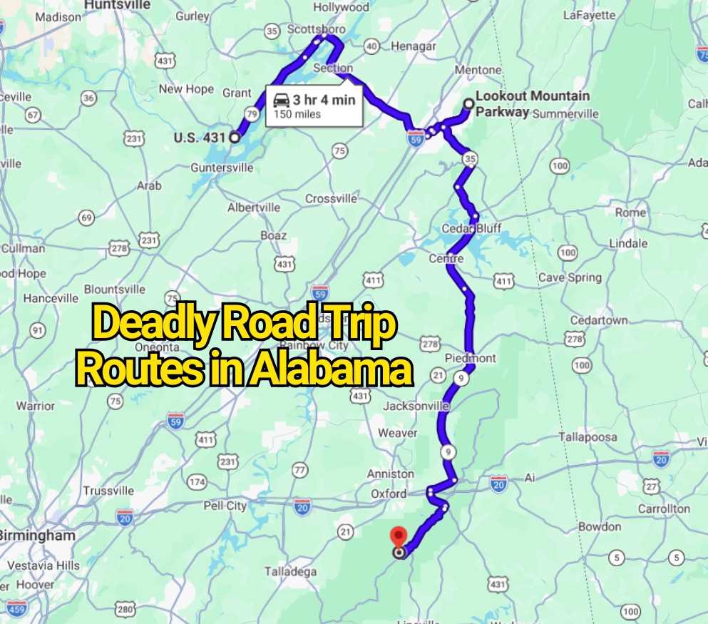
That’s why certain Alabama highways—like long stretches of U.S. 431, parts of the Lookout Mountain Parkway, and the winding approach to Cheaha Mountain—often get talked about by locals in a different tone. Not as “hidden gems,” but as routes that demand attention, patience, and respect for changing road conditions. These aren’t roads you avoid, but they are roads you don’t casually underestimate.
What makes them especially interesting is not just the crash history or statistics, but the contrast between how they appear on a map and how they actually feel behind the wheel. On paper, they look simple. In reality, they shift quickly between scenic travel routes and high-risk driving environments depending on speed, weather, and awareness.
U.S. Highway 431
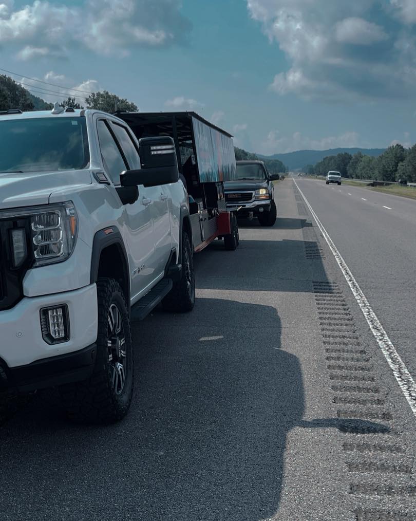
U.S. Highway 431 is the name that keeps coming up whenever Alabama road safety is discussed. Locals don’t always call it anything dramatic, but over time it picked up the nickname “Highway to Hell” in popular reporting due to its long history of serious collisions.
The reality is not one single stretch, but a combination of conditions repeating across long distances. Parts of the highway shift unpredictably between two lanes and four lanes. In other sections, traffic moves through towns where speed limits drop quickly, but not every driver adjusts in time. Add in curves, high-speed rural stretches, and frequent turning traffic, and the risk increases in a way that feels almost invisible until you’re actually driving it.
Crash analyses and safety reporting repeatedly point to the same contributing factors: poor visibility, inconsistent lane structure, and high-speed rural driving patterns. These are exactly the conditions that make driver reaction time the deciding factor in whether a journey stays routine or becomes dangerous.
Even when upgrades improve parts of the highway, the road remains a reminder that safety is not evenly distributed along long rural corridors.
Lookout Mountain Parkway

At first glance, Lookout Mountain Parkway feels like the opposite of a dangerous road. It’s marketed as one of the most beautiful scenic drives in the Southeast, running through elevated terrain, forest edges, and small-town landscapes.
But this is where perception and reality split.
The same geography that creates beauty also creates risk: narrow lanes in rural sections, frequent curves, elevation changes, and drivers constantly slowing down for overlooks, waterfalls, and roadside stops. Traffic isn’t heavy in the traditional sense, but it is unpredictable. Visitors unfamiliar with the route often react late to slow-moving vehicles or sudden turns into scenic pull-offs.
This is not a “high-crash highway” in the strict statistical sense, but it is frequently flagged in travel safety discussions because of how easily routine driving decisions can become critical in a matter of seconds.
The parkway’s danger is subtle: not speed alone, but constant attention shifts between scenery and roadway.
Alabama Highway 281 and the Cheaha Mountain Corridor
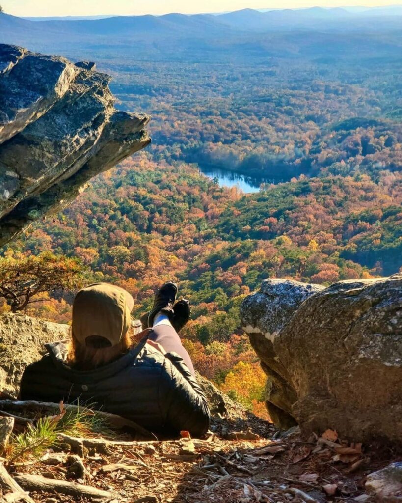
Highway 281, leading into the Cheaha Mountain area and Talladega National Forest, represents a different kind of driving challenge entirely.
Here, the road doesn’t just move forward—it climbs, curves, and drops in elevation in ways that can surprise drivers who expect a standard highway experience. Tight bends, forest cover that reduces visibility, and occasional wildlife crossings all contribute to a driving environment that demands constant focus.
This corridor is especially sensitive during wet weather or low-light conditions, when the combination of winding pavement and reduced traction increases risk. It’s not “dangerous” in the sensational sense, but it is unforgiving of distraction or overconfidence.
What makes this route notable is not accident statistics alone, but the way terrain itself becomes a driving variable. You are no longer just reacting to traffic—you’re reacting to geography.
I-65 and I-59 Through Alabama’s Pressure Zones
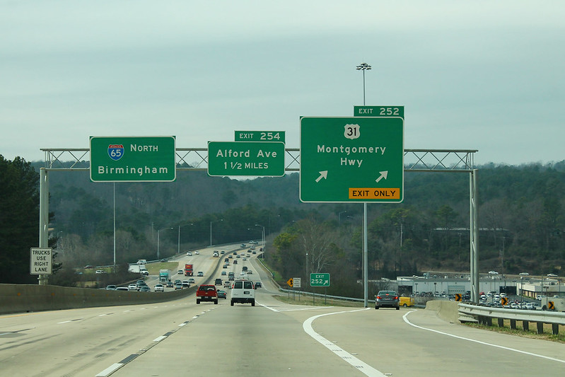
Interstates are often assumed to be the safest roads because of controlled access. In Alabama, however, major interstates like I-65 and I-59 are among the most incident-prone due to traffic volume and congestion patterns.
I-65, which runs through Birmingham and Montgomery, is especially known for sudden slowdowns, lane bottlenecks, and heavy commuter pressure. I-59, passing through urban and semi-rural transitions, adds another layer of complexity with merging traffic and variable speeds.
Crash data shows a consistent pattern: a significant portion of fatal crashes in Alabama occur on highways and interstates simply because these roads carry a large share of total traffic and speed exposure.
The takeaway isn’t that interstates are inherently unsafe, but that traffic density + speed + unpredictability = higher exposure risk, especially during peak travel hours or poor weather conditions.
Why These Roads Feel “More Dangerous” Than They Actually Are
Here’s the contrarian truth most travel articles skip: Alabama’s roads are not uniquely dangerous because of mystery or hidden threats. They feel dangerous because they amplify three very normal driving realities:
Rural highways reduce reaction time because help is farther away. Scenic routes increase distraction because attention is split. Interstates concentrate risk because too many vehicles share the same space at high speed.
In other words, these roads don’t break the rules of driving—they expose them.
You may also like :