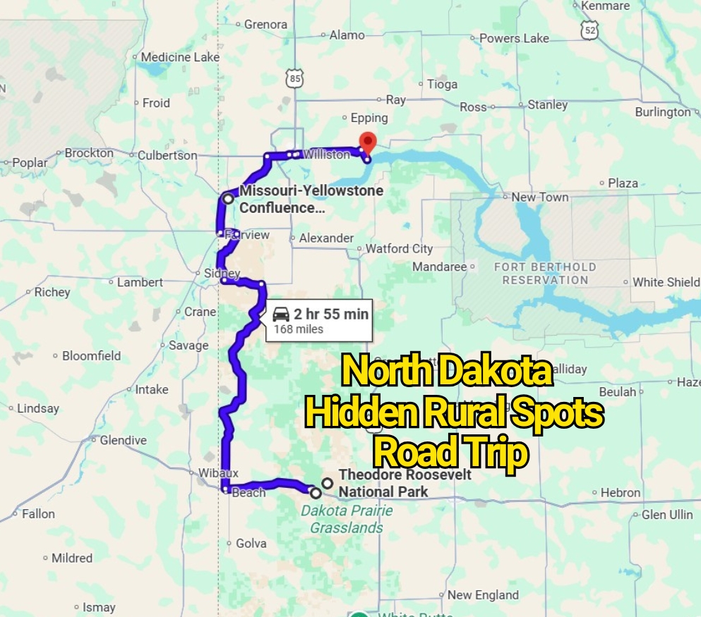
Western North Dakota was made for long drives, wide horizons, and roadside stops that feel far removed from everyday routines. This complete loop begins in Medora and passes through striking natural areas, historic landmarks, and quiet stretches of open country. Travelers can also join the route from another stop if Medora is not the most convenient starting point.
The full drive takes about nine hours and 40 minutes without extended breaks. Since many attractions along the way deserve extra time, spreading the journey across two days makes the experience far more relaxed. A weekend schedule leaves room for short hikes, scenic overlooks, photographs, meals, and unhurried visits to each location.
Several campgrounds can be found near the route, making an overnight stay beneath the North Dakota sky an appealing addition. Pack your road-trip supplies, check fuel levels before entering remote sections, and prepare for rugged badlands, rolling grasslands, and fascinating pieces of state history. Use the linked map to view the complete route and turn-by-turn driving directions.
1. Medora: A Lively Gateway to the North Dakota Badlands
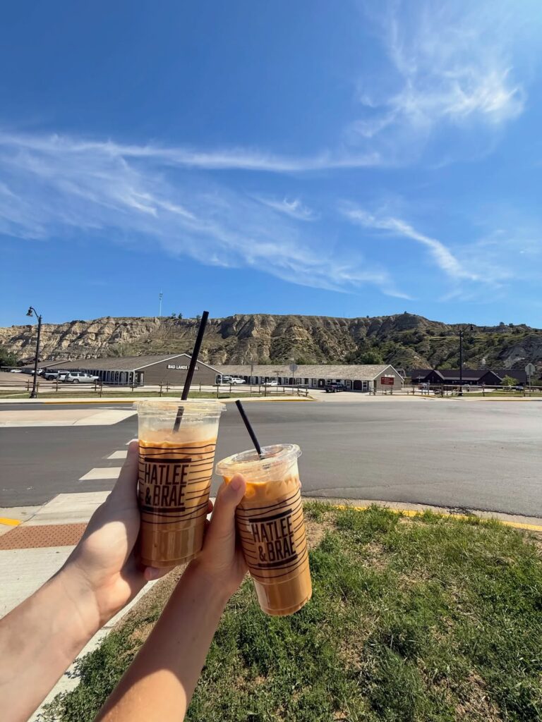
The road trip begins in Medora, a popular western town packed with attractions, frontier character, and memorable views. Although it serves as the starting point, Medora could easily occupy an entire day on its own.
Set aside enough time to walk around town, browse local shops, visit historic sites, and enjoy its well-known entertainment. The streets carry a strong Old West atmosphere, while nearby landscapes offer an early glimpse of the rugged terrain ahead.
Medora sits beside the North Dakota Badlands, making it a fitting introduction to the rest of the route. Before continuing the drive, check the town’s official website for seasonal events, attraction hours, and helpful visitor information.
2. Theodore Roosevelt National Park: Roaming Wildlife and Rugged Badlands
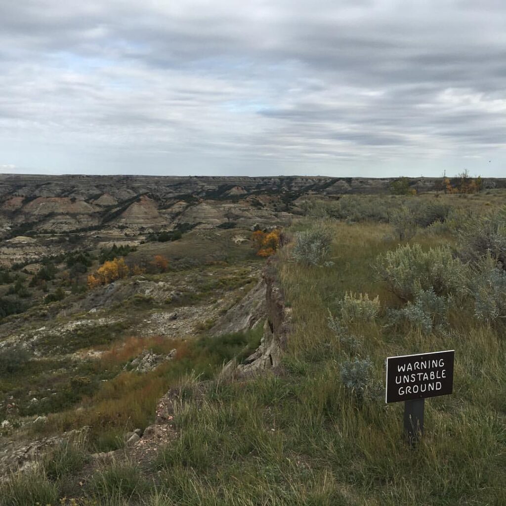
Theodore Roosevelt National Park is the next major stop on this western North Dakota drive. The park is divided into North and South Units, and each section carries its own character. The South Unit lies close to Medora and is often busier, while the North Unit feels more remote and less hurried.
Wild bison graze across the open land, and bands of feral horses may appear along the roads or distant ridgelines. Sweeping overlooks reveal layered rock formations, winding valleys, and broad prairie under an enormous sky. Wildlife sightings can happen without warning, so drive slowly and keep a respectful distance from every animal.
Camping here adds another dimension to the trip. An overnight stay gives travelers time to watch the sunset fade across the Badlands and wake to the quiet sounds of the prairie. Check the official Theodore Roosevelt National Park website for campground details, road conditions, safety notices, and seasonal updates before arriving.
3. Little Missouri National Grassland: A Vast Prairie Drive
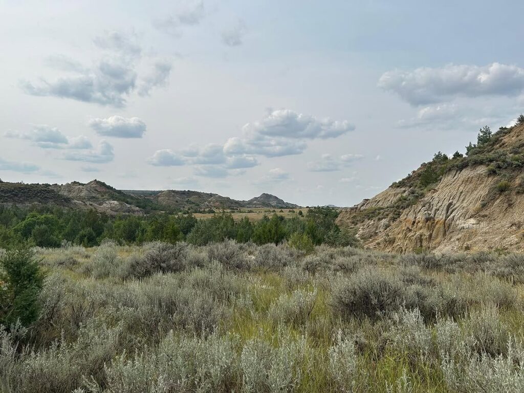
After leaving Theodore Roosevelt National Park, the route turns north and enters the broad reaches of Little Missouri National Grassland. This enormous sweep of public land surrounds much of the Badlands, creating a long drive filled with open prairie, eroded buttes, and distant ridgelines.
The landscape may appear quiet at first, yet its scale gives the journey a powerful sense of freedom. Watch for grazing cattle, deer, prairie dogs, and hawks as the road passes through miles of lightly developed countryside. Pullouts and backroads provide opportunities to pause, stretch your legs, and take in the far-reaching views.
Little Missouri National Grassland is the largest national grassland in the United States, making this portion of the route an attraction rather than simple travel time. Visit its official website before departure for information about recreation areas, road access, camping, and current land conditions.
4. Missouri-Yellowstone Confluence: Where Two Great Rivers Meet
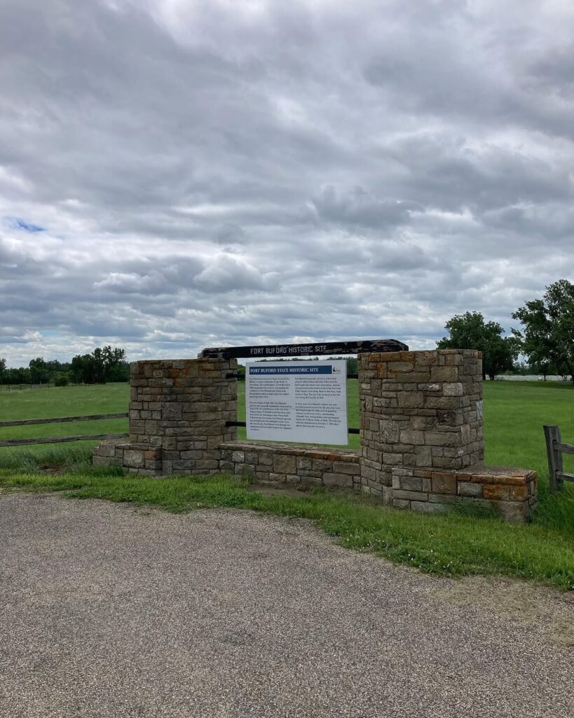
The next stop brings the route to the Missouri-Yellowstone Confluence, where two major waterways merge near the North Dakota–Montana border. The meeting point carries both geographic importance and deep ties to regional history.
The Missouri-Yellowstone Confluence Interpretive Center offers one of the best places to view the rivers coming together. Inside, exhibits explain the area’s Indigenous heritage, early exploration, river travel, and the role these waterways played in shaping settlement across the northern plains.
Take time to enjoy the overlook before returning to the road. Water levels, weather, and seasonal conditions can change the appearance of the confluence, so every visit may feel slightly different. Check the official website for operating hours, exhibit details, and current visitor information.
5. Lewis & Clark State Park: Lakeside Recreation Near Williston
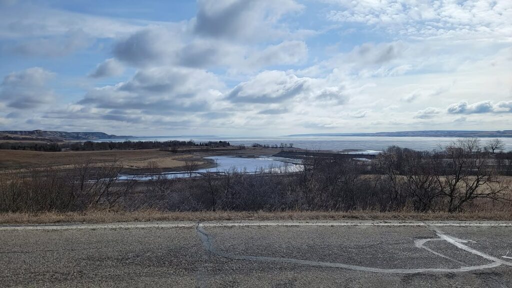
After passing through Williston, the route continues to Lewis & Clark State Park along the upper reaches of Lake Sakakawea. This waterfront stop offers a welcome pause after several hours on the road and gives travelers space to slow down.
Warm-weather visitors can swim, fish, launch a boat, or spend time near the shoreline. Families may enjoy a picnic beside the water, while groups of friends can relax and watch the changing light stretch across the lake.
The park also provides camping options for travelers extending the road trip overnight. Check the official Lewis & Clark State Park website for entrance details, campsite availability, seasonal activities, and current park notices before visiting.
You may also like :