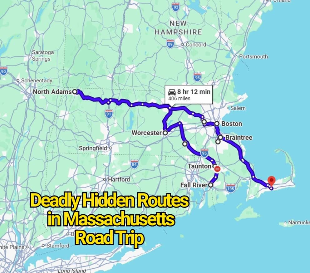
Massachusetts does not look like a state built for white-knuckle road trips. It is compact, historic, coastal, and full of routes that seem simple on a map. That is exactly why some of its riskiest drives catch travelers off guard. The danger is rarely dramatic at first glance. It hides in commuter speed, sharp merges, old road layouts, Cape traffic, mountain curves, and drivers who know the route so well they stop treating it with care.
Here is the contrarian truth: the scariest Massachusetts roads are not always the lonely backroads people whisper about. Some of the most worrying routes are the ones used every day. A highway can feel normal at 10 a.m. and turn punishing by rush hour, fog, rain, snow, or summer weekend traffic. Massachusetts had one of the lowest motor-vehicle death rates per 100 million miles traveled in 2024, yet certain corridors still carry a serious local reputation for crashes and close calls.
I-495: The Outer Loop That Looks Easier Than It Is
I-495 does not feel like a hidden road. It wraps around Greater Boston and connects mill cities, suburbs, shopping exits, freight traffic, and long-distance drivers. That mix is the problem. A road tripper may treat it like a plain bypass, while locals know it can shift from smooth highway to sudden brake lights with little warning.
Data cited in 2024 named I-495 the most dangerous highway in Massachusetts, with an average of 9.5 fatalities per year along its 121.56-mile route. The danger is not one creepy bend or one famous exit. It is the long pattern of high speeds, truck traffic, lane changes, and busy interchanges near places like Lowell, Andover, Marlborough, Milford, and the Mass Pike connection.
Route 24: The Fall River Expressway With a Rough Reputation
Route 24 is one of those roads people in southeastern Massachusetts talk about with a certain tired frustration. It links Fall River, Taunton, Brockton, and Randolph, making it useful for road trips and daily drives. Yet its reputation has never felt casual. Locals often describe it as fast, tense, and unforgiving.
Older safety reporting has pointed to serious crash concerns on the Berkley-to-Randolph stretch, where heavy traffic and fast movement can turn small mistakes into major incidents. The route’s risk comes from its personality: short distances, impatient lane changes, busy merges, and drivers who seem to treat the road like a raceway.
I-93 and the Southeast Expressway: Boston Pressure in Road Form
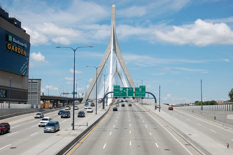
A visitor may see I-93 as a straight shot through Boston. Locals see something else: a corridor where congestion, short merges, tunnels, ramps, weather, and commuter urgency all pile together. South of Boston, the Southeast Expressway toward Braintree can feel especially tense because every driver seems to be trying to beat the same clock.
Boston-area Vision Zero planning has focused on fatal and serious-injury crash reduction, with concerns tied to speed, high traffic volume, vulnerable road users, and roadway design. That matters on a route like I-93 because the danger is often not speed alone. It is speed mixed with crowding, sudden stops, and little room for error.
The Massachusetts Turnpike: The Road That Gets Too Comfortable
The Mass Pike can lull drivers into overconfidence. It feels wide, direct, and familiar. Then traffic thickens near Boston, trucks gather in long chains, rain cuts visibility, or a driver reaches the I-495 interchange at the wrong moment. Suddenly, a simple cross-state drive asks for far more attention than expected.
The Turnpike’s risk changes by region. Near Boston and Worcester, congestion and merging pressure dominate. Farther west, the road feels more open, which can invite higher speeds. This is why locals do not always fear the most dramatic roads. They fear the ordinary ones where people relax too soon.
I-95 and Route 128: The Suburban Beltway With City-Level Stress
I-95 and Route 128 form one of the busiest driving corridors in Massachusetts. It moves commuters, freight, airport traffic, shoppers, college visitors, and road trippers all at once. The road passes near Canton, Dedham, Waltham, Peabody, and other packed suburban areas where traffic patterns can change fast.
The hidden danger here is rhythm. Drivers speed up, slow down, merge, cut across lanes, and react to exits that arrive quickly. For a traveler expecting a simple beltway drive, Route 128 can feel surprisingly aggressive. It is less of a scenic road trip route and more of a test of patience.
Route 6 on Cape Cod: The Vacation Road That Turns Serious
Route 6 is one of the clearest examples of a Massachusetts road that looks harmless until the season changes. In winter or early spring, parts of it can feel quiet. By summer, it carries vacation traffic, rental cars, locals, cyclists near crossings, and drivers searching for exits they almost missed.
Cape Cod officials have studied high-crash locations using MassDOT crash data from 2021 to 2023, and Route 6 appears in that safety conversation for good reason. The road serves as the Cape’s main spine, which means every holiday weekend, beach rush, rainy afternoon, and bridge backup can push more pressure onto the same corridor.
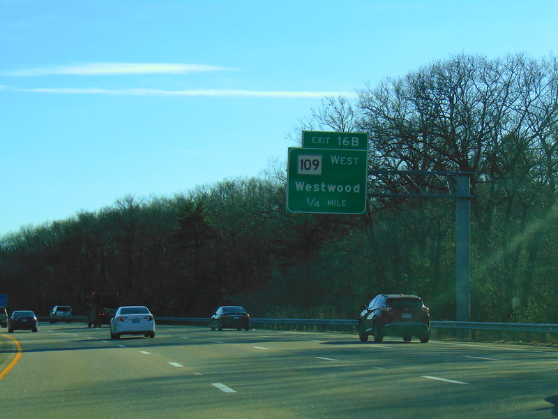
Route 28: The Road That Changes Its Mood Too Often
Route 28 is difficult because it is not one kind of road. On Cape Cod, it can feel like a busy vacation strip, with shops, turns, beach traffic, and distracted drivers. In places like Milton, Randolph Avenue carries a different kind of concern, shaped by speeding, crashes, and calls for safety changes.
MassDOT and Milton officials discussed a Route 28/Randolph Avenue road diet pilot in 2025 after local concern over crashes and speeding. That detail says a lot about this road. It is not dangerous because it looks wild. It is risky because it blends everyday driving with old patterns that no longer feel safe enough for modern traffic.
Route 2 and the Mohawk Trail: Beautiful, Curving, and Easy to Misjudge
The Mohawk Trail is one of Massachusetts’ classic road trips, running through northwestern Massachusetts along Route 2. It crosses historic towns, wooded stretches, hills, and mountain scenery between the Connecticut River Valley and the Berkshires. That beauty can make drivers forget that this is still a road with grades, curves, weather shifts, and rural response times.
This is the route where the danger feels old-fashioned. A driver rounds a bend too quickly, underestimates wet leaves, meets fog near a rise, or gets distracted by the view. Locals respect it because it rewards slower driving. Tourists sometimes learn that lesson late.
Route 3 to the Cape: The Backup Before the Bridge
Route 3 is not always named in “deadliest road” conversations, but locals know its seasonal stress. It carries Boston and South Shore traffic to Plymouth, the Sagamore Bridge, and Cape Cod. On a normal weekday, it may feel manageable. On a summer Friday, it can turn into a brake-light corridor.
The danger here comes from contrast. Highway-speed driving suddenly meets bridge traffic, impatient vacationers, and stop-and-go backups. The Sagamore Bridge itself has long been tied to traffic and safety concerns, with reporting noting that it sees heavier traffic than the Bourne Bridge and accounts for a larger share of bridge crashes.
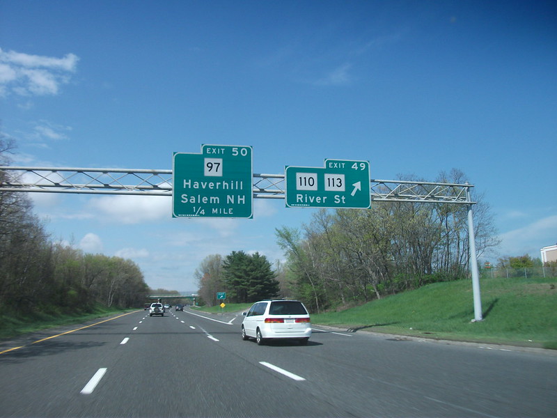
Route 1 North of Boston: Commercial Chaos With Fast Traffic
Route 1 north of Boston is its own kind of Massachusetts driving lesson. It moves through places like Revere, Saugus, Peabody, and Danvers, mixing highway speeds with commercial exits, shopping centers, ramps, and drivers entering from every angle. It can feel less like a road trip and more like a video game no one agreed to play.
The hidden risk is the road’s split identity. It is part highway, part shopping corridor, part commuter route. That means drivers may be moving fast while others are slowing for restaurants, gas stations, stores, or last-second turns. Locals know to stay alert because the next lane change can happen without much warning.
Why Locals Warn About These Massachusetts Roads
The phrase “deadly hidden road trip route” can sound like it belongs to ghost stories, but in Massachusetts, the warning is usually more practical. These roads are not dangerous because they are mysterious. They are dangerous because they are familiar, crowded, old in design, weather-sensitive, or too easy to underestimate.
A smart road trip through Massachusetts does not mean avoiding every one of these routes. That would be almost impossible. It means treating them with more respect than the map suggests. Leave early, slow down in rain or snow, give extra space near merges, avoid rushing Cape traffic, and do not let pretty scenery steal your attention from the road.
The real local advice is simple: Massachusetts roads can look small, short, and manageable, but they do not always drive that way. The most dangerous routes are often the ones that seem ordinary until the moment they are not.